
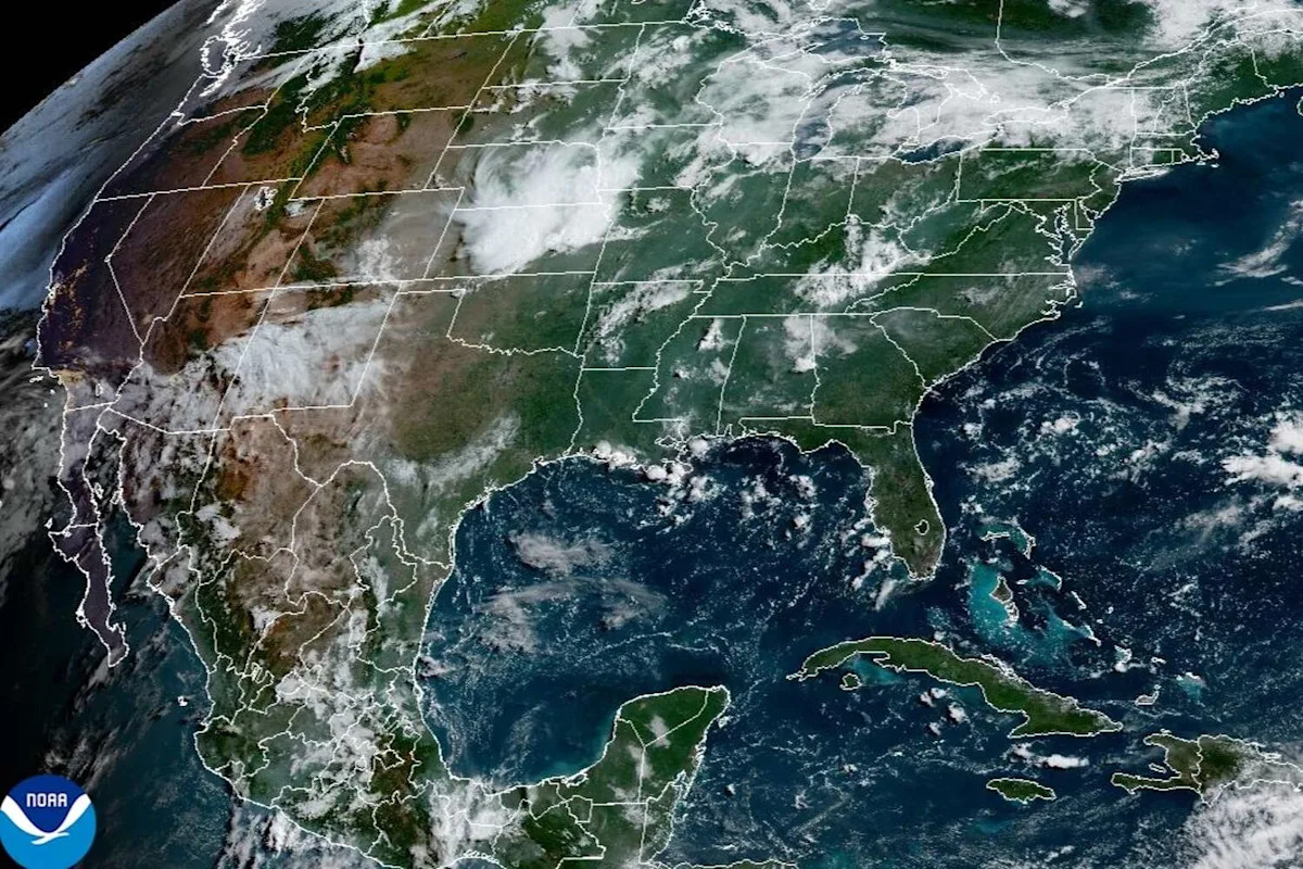
Rain will remain elusive in Central Texas this week, according to the National Weather Service, as the dog days of summer get underway.
Although the “dog days” of summer traditionally has referred to the hottest days of the year, the days are actually a specific period: July 3 to Aug. 11 every year. The dog days begin 20 days before and 20 days after Sirius, the brightest star in the constellation Canis Major (“larger dog” in Latin), rises and falls in conjunction with our sun.
Ancient Romans linked Sirius to periods of prolonged heat and dryness that were believed to cause lethargy, fevers, increased illness and overall misfortune, according to The Old Farmer’s Almanac.
These days, Austin might feel the same way – especially with a short-term forecast that doesn’t offer much hope of relief from the heat.
Austin on Sunday will start out partly sunny before gradually becoming sunnier, with afternoon temperatures flirting near 100 degrees, likely peaking at 98, forecasters said. Humidity continues to be elevated, so expect those upper 90s to “feel” more like 103 degrees.
A subtropical system of high atmospheric pressure that had built up between New Mexico and the Texas Panhandle on Saturday will continue to influence weather in Central Texas, according to the weather service.
“This setup translates to sinking air, resulting in dry and hot conditions across South-Central Texas,” the weather service said in a forecast discussion for the region, adding that “based on the position of the subtropical high and how strong is it, not expecting to see shower or thunderstorm activity.”
Forecasters said that if any showers do manage to form, they would be brief and isolated.
“Dry and hot conditions are forecast for the work week with the persistent (influence) of the subtropical high over the Texas region,” the weather service said.
For Austin, that translates into a fairly static weather outlook from forecasters:
Monday: Mostly sunny with a high near 98. Partly cloudy at night with a low around 78.
Tuesday: Mostly sunny, with a high near 98. Partly cloudy at night again with a low around 77.
Wednesday: All sunny with a high near 98. This time, mostly clear at night with a low around 78.
Thursday: Sunny and especially hot with a high near 99. Then, mostly clear at night with a low around 78.
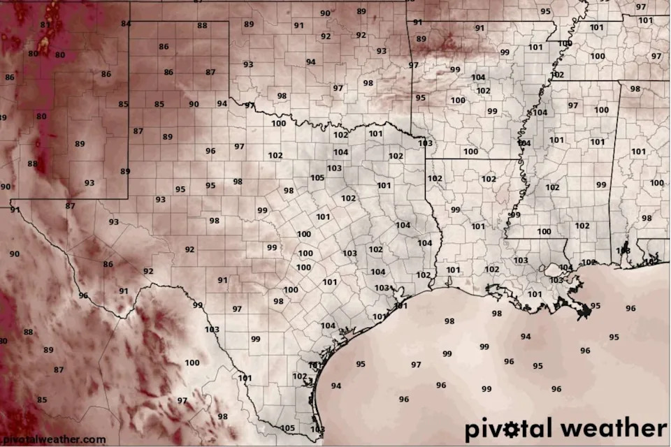
Heat index values, or humidity-driven “feels like” temperatures, will be in the triple digits in Central Texas as early as 1 p.m. Sunday, according to the National Blend of Models, a composite weather forecast model. (National Blend of Models/Pivotal Weather)
The influential high pressure system is expected to shift Monday toward the Four Corners region in the desert Southwest and weaken a bit, forecasters said. Although this could allow for storms to bubble up in parts of the Hill Country and southern Edwards Plateau, the weather service said the chances are still rather low, no more than 20%
“There is an inverted upper level trough (of low air pressure) across the local area on Tuesday while the subtropical ridge (of high pressure) stays over the Four Corners region,” the weather service said. “Afternoon heating along with this weakness could bring some showers and storms across the Hill Country.”
Forecasters said a similar setup to Tuesday is expected Wednesday but with even drier weather.
“The subtropical high builds back to the east and into our area on Thursday into Friday to end rain chances for the latter part of the week, including next weekend,” the weather service said.
This article originally published at Dog days of summer are here in Austin: Will Central Texas ever see rain at all this week?.