
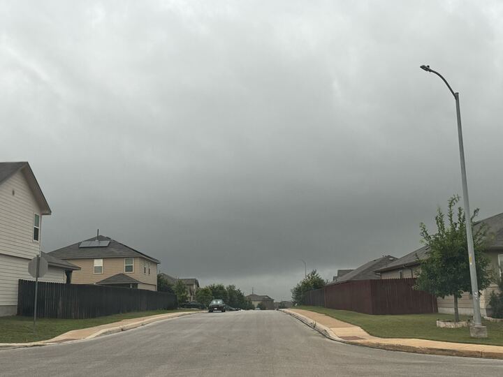
Folks up in North Texas will seemingly continue to be pelted by severe weather threats as hail remains a lingering threat through Sunday, July 5.
Forecasted from 2-10 p.m. on Sunday by the National Weather Service, potential severe weather will remain a constant as strong winds up to 65 miles per hour will send a whole lot of stuff flying away outdoors. Thunderstorms will be persistent from the afternoon into the night across the Texas Panhandle, with a very low risk of tornadoes. Not to forget, that hail will be the main threat in the area, with half dollar-sized hail being the most like size from what will drop from the sky.
Although the earliest start of the threats begins at about 2 p.m. the most likely time for the most severe of storms will ramp up beginning at 4 p.m. A 2 out of 5 severe thunderstorm chance will hang around in the southern-most part of the area, including Hereford and just near Vega, which is about 50 miles from Amarillo. And for folks in the area, the NWS says if enough moisture is present, although thunderstorms drop off harshly on Monday, July 6, from Tuesday July 7 until Friday, July 10, thunderstorm chances are likely to ramp up, from 20% to nearly 30% heading into Wednesday, July 8.
As down here in South Central Texas, slim rain chances are in the forecast according to the NWS, mostly in the northern Texas Hill Country. “An isolated late afternoon/evening shower is possible northern Hill Country,” the NWS said. “Persistent July heat continues all week with low rain chances early week and again next weekend.”