
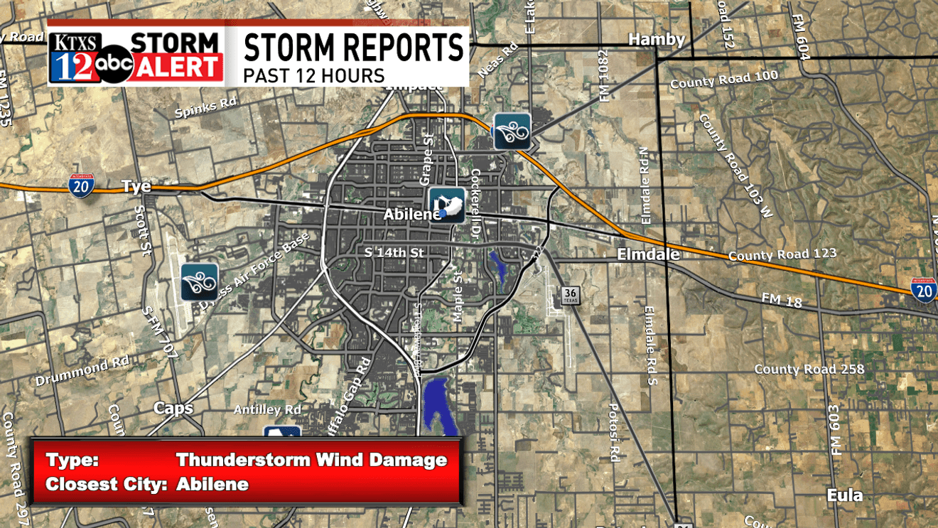
Numerous showers & thunderstorms rolled through the Big Country & Concho Valley yesterday evening, leaving behind a trail of damage that may take weeks to months for some to recover. Trees were snapped blocking area roadways in Abilene and surrounding areas, and damage to multiple businesses and homes was reported as well.
The line of storms approached the I-20 corridor late Sunday evening, pushing in a plume of dust along the leading edge of the storms, followed by very heavy rainfall and severe wind gusts in excess of 60-70MPH at times. These storms were also very electric, producing a ton of lightning at it’s peak.
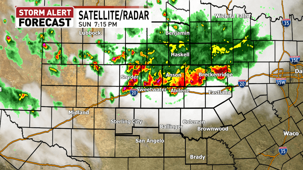
Here’s the picture Radar painted Sunday evening, showing strong storms rolling through the Big Country before weakening as it approached the Concho Valley
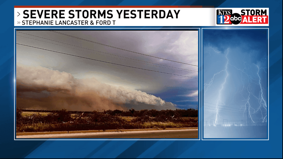
The Haboob caused visibility to drop like a rock as the storms approached from the north. Thousands lost power region-wide, with some still being restored as of early this Monday morning.
Damage wasn’t only confined to Abilene, though it appears the worst winds occurred right here in the Key City. A wind gust of 80MPH was reported near ACU.
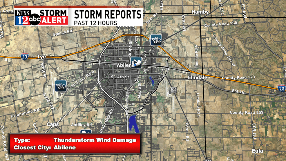
Tree & structure damage was reported across Abilene due to winds gusting as high as 80MPH
Areas like Clyde and Merkel reported winds as high as 60-70MPH, alongside quarter sized hail. San Angelo and areas in the Concho Valley also got in on the Haboob conditions later in the evening, with a 58 MPH gust reported in San Angelo along the outflow boundary of the storms. Damage reports were submitted across a large swath of West-Central Texas, making this one of the most impactful weather events in recent memory for our viewing area.
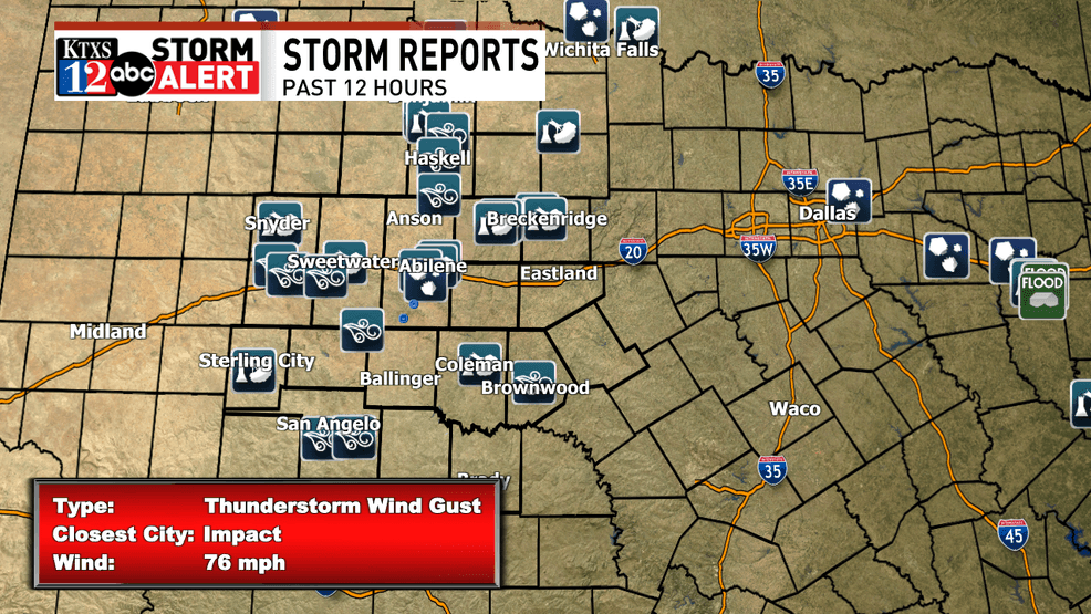
Widespread and impactful damage from yesterday’s storms with multiple severe weather updates across West-Central Texas
The severe wind gusts and hail were the main problems yesterday evening, though heavy rainfall in the storms also lead to localized street flooding in parts of West-Central Texas. Radar estimated rainfall totals suggests anywhere from 0.5-2″ across the board, with much of Abilene picking up just over an inch of rain. Areas into the Concho Valley received slightly less rain as the complex of thunderstorms weakened as they moved south.
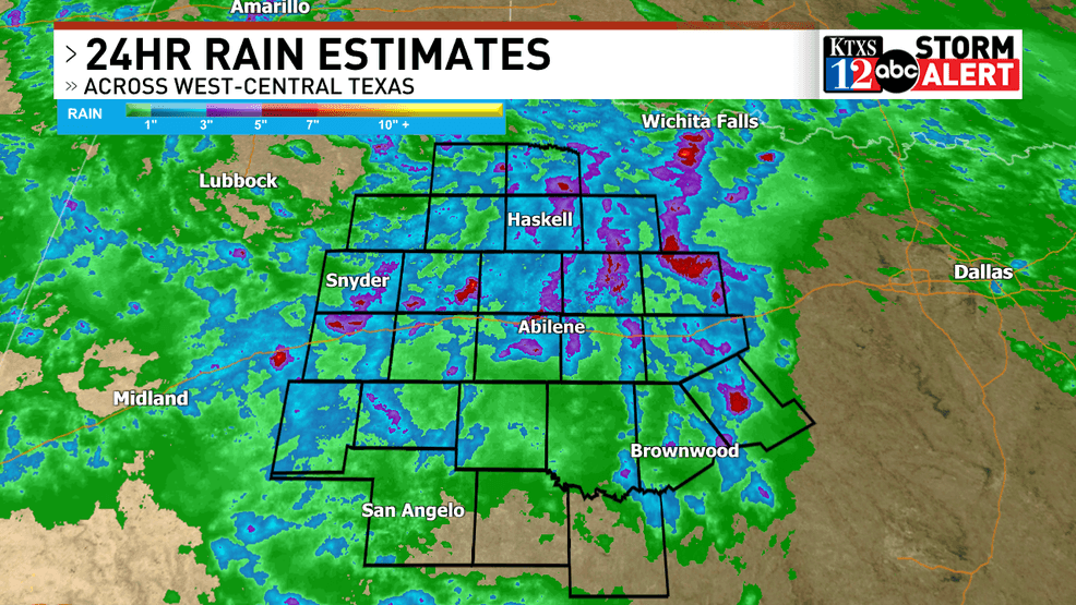
1-2″ of rain was fairly widespread per radar estimates
The silver lining with this event is perhaps an improvement in Moderate Drought Conditions that are currently dominating parts of the Big Country.
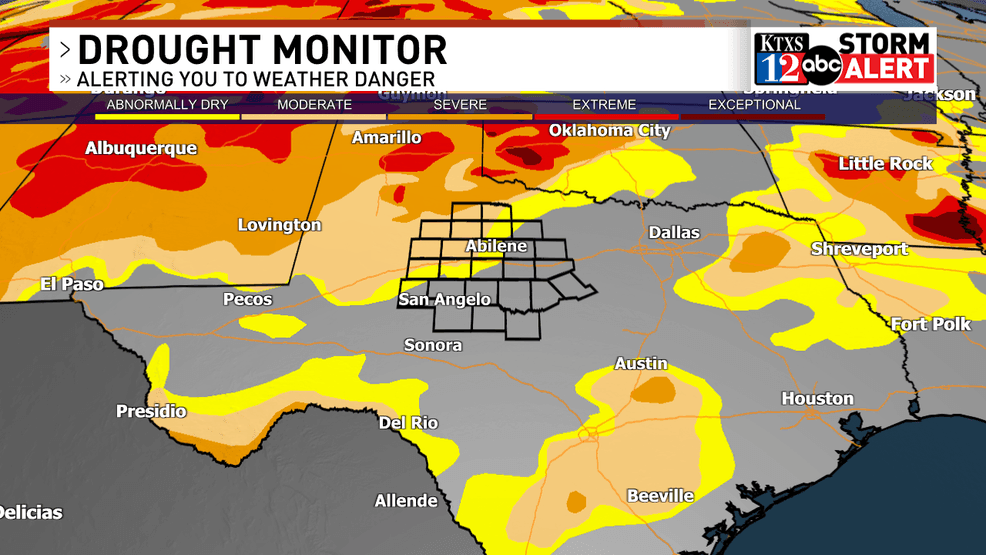
Moderate drought conditions have set up over Northwestern Portions of the Big Country
Comment with Bubbles
BE THE FIRST TO COMMENT
From the KTXS Weather team, we hope that you and yours are safe following this very impactful severe weather event. We’d like to see how you faired during the storms. Please submit any photos you may have to ktxs.com/chimein.