
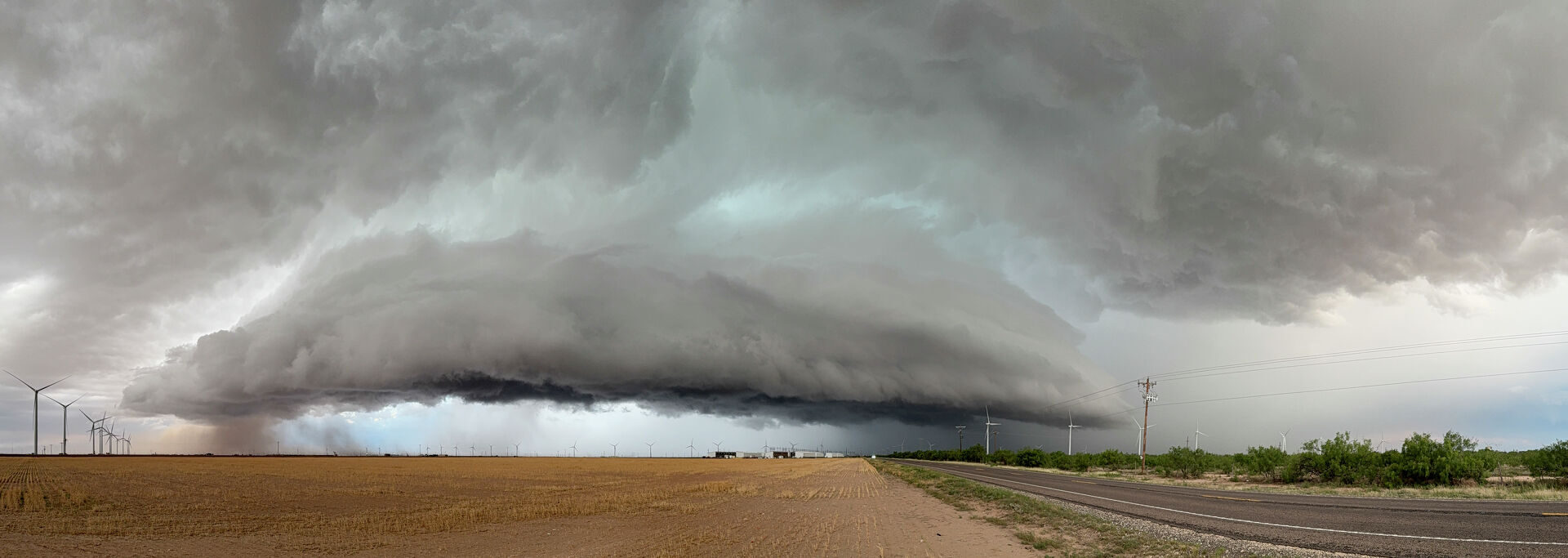
A storm system moving toward Texas this week could have its greatest impact on Thursday, July 9, in towns near the state’s northernmost edge. Storm chances could climb as high as 60%, with severe impacts possible as far south as Amarillo.
“Thunderstorms will have the potential to become strong to severe across the central and northern Panhandles,” the National Weather Service Amarillo office warns. “The primary hazard is expected to be damaging wind gusts up to 70 mph.”
The storms could move in from the east, crossing the Texas-Oklahoma border as early as 3 p.m., though forecasters say they are more likely to arrive as evening approaches. Storm clouds are expected to continue moving west, reaching areas near Amarillo between 6 p.m. and 11 p.m.
“Storms will be moving into the area from the high terrain of New Mexico and Colorado during the afternoon and gradually make their way across the Panhandle through the evening hours,” NWS said.
Storm chances are highest farther north in the Panhandle, peaking around 70% to 80% Thursday evening and into Friday morning. Rain chances could linger and spread across the region before sunrise Friday.