
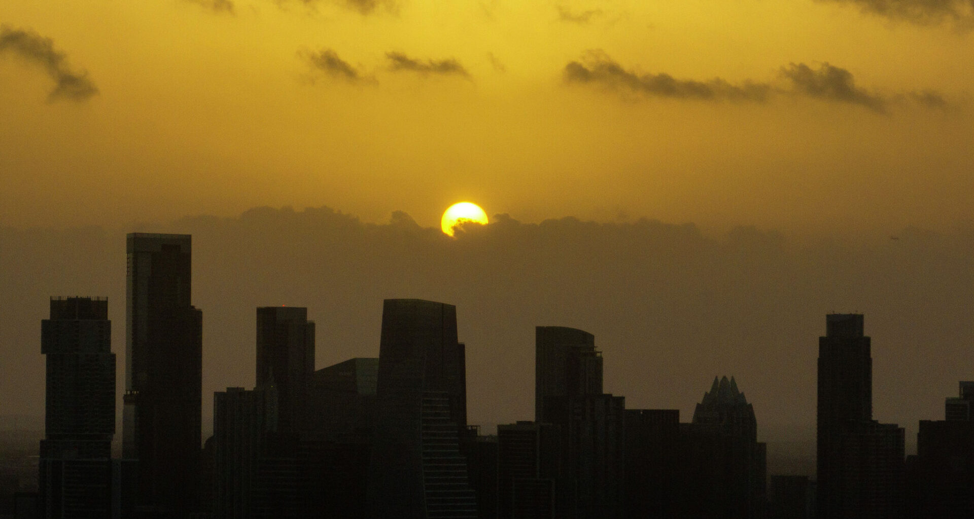
If the sky has looked a little hazy and you’ve been feeling a little foggy yourself, you’re not imagining it. Another plume of Saharan dust has drifted into Texas, blanketing the state in a milky haze and lowering air quality through Friday. While most of the dust stays high in the atmosphere, it can still trigger allergy symptoms and irritate the eyes, nose, and throat, especially for those with asthma or other respiratory problems.
Air quality is expected to remain in the “moderate” category on Thursday and Friday, according to the Texas Commission on Environmental Quality. The Saharan dust is the primary cause of the elevated levels of fine particles in the air, although lingering wildfire smoke from Canada, Mexico, and the southwestern United States may also contribute to the hazy skies.
Thursday will be our last opportunity for a while to flirt with the 100-degree mark. We’ll start the day with mostly clear skies, light south winds, and morning temperatures in the middle to upper 70s. By the afternoon, expect sunny, hazy and hot weather with temps climbing into the middle to upper 90s. A few locations could briefly reach 100 degrees. Don’t overlook the humidity, though, as it will push heat index values, or “feels like” temperatures, into the 100 to 105-degree range.
Texas weather will begin transitioning from a hot, dry pattern to a more unsettled one this weekend. An atmospheric disturbance over the southwestern Gulf of Mexico will send increasingly moisture-rich air northward into the state, bringing a good chance for showers and thunderstorms beginning Friday night and continuing through Monday.
“PWATs (Precipitable water levels) will surge into the 2- to 2.25-inch range at times this weekend, and some of the models are showing a pretty active area over the eastern half Friday afternoon,” meteorologists from the National Weather Service wrote in their forecast discussion for Central Texas on Wednesday. “Model timing has been inconsistent, given that this moisture could be enough to trigger new activity at most, if not all, hours of the day.”
Rain chances this weekend will range from 20% to 50%, with the highest probability on Saturday. As we get closer, high-resolution forecast models should provide a better picture of when and where showers and thunderstorms are most likely to develop. While the added moisture won’t eliminate the summer heat, it should trim a few degrees off afternoon highs.
The forecast for next week looks even more interesting. A ridge of high air pressure is expected to build to our north, placing Texas along its southern edge. The clockwise flow around the high pressure will set up Texas for a good position to see several upper-level atmospheric disturbances sweep across the state, bringing multiple rounds of showers and thunderstorms.
The combination of increased cloudiness and higher humidity should keep temperatures below 100 degrees, with afternoon temperatures in the lower to mid-90s. That would certainly be a treat for us in the middle of summer in Texas.