
LUBBOCK, Texas (KCBD) – A weak cold front moving through the South Plains this morning will drop temperatures only slightly. Ahead of the next cold front tomorrow, temperatures will once again rise to near record highs for the date.
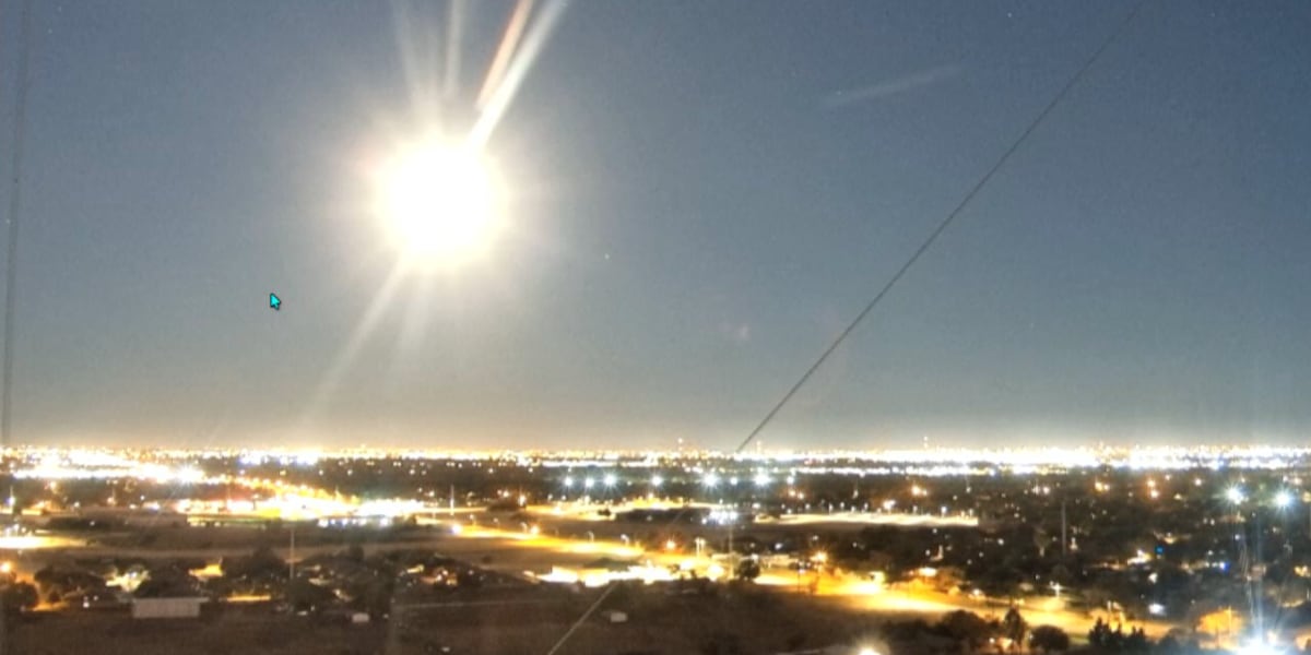
 This morning’s full Beaver Moon around 6:20, from our camera on our broadcast tower outside our studio at 98th and University.(KCBD First Alert)
Lubbock yesterday peaked at 88°, tying the city’s record high for November 4. The record was set on the date in 2017, tied on the date in 2020, and tied again yesterday. The average high for the time of year is 68°.
This morning’s weak cold front will be followed by a brisk northeasterly breeze from about mid-morning through mid-afternoon. The day overall will be sunny.
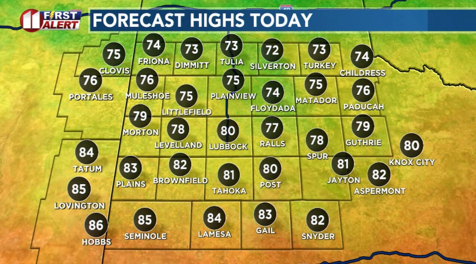 While not as warm as yesterday, temperatures will peak well above average today.(KCBD First Alert)
Under a fair sky tonight, and with a light wind, temperatures will dip to near average lows for early November.
Breezy winds will return to the area tomorrow afternoon. The southwesterly wind will increase to around 15 to 25 mph, with some gusts around 35 mph possible. Under a generally sunny sky, temperatures will soar to near record highs for the date.
Lubbock’s record high for November 5, today, is 86°, set in 1916 and tied on the date in 1924. The record high for November 6, tomorrow, is 87°, set on the date in 2023.
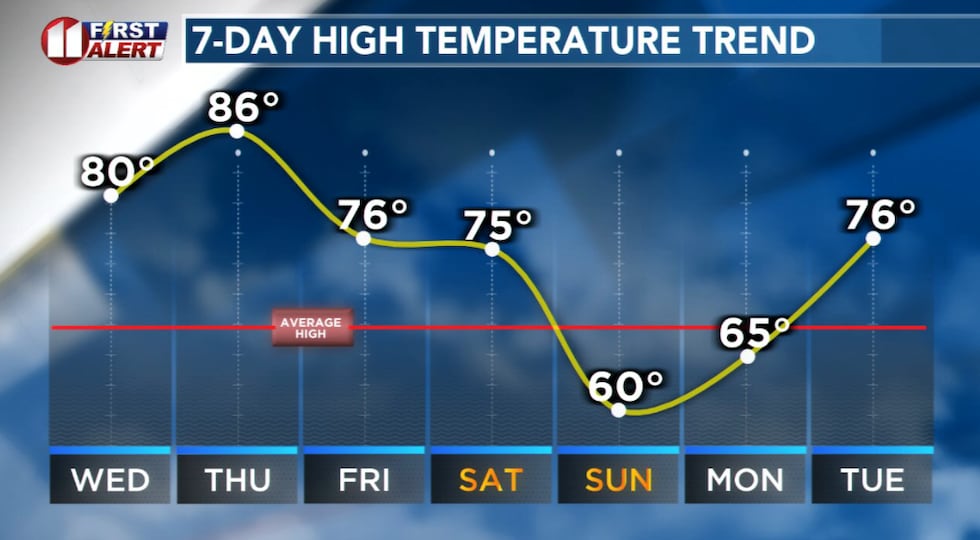 Much cooler weather late this weekend!(KCBD First Alert)
The dry, breezy, and warm conditions will again elevate the grassland fire risk Thursday. In these conditions, grass fires may ignite easily, spread rapidly, and be difficult to bring under control. Thursday is a NO BURN DAY.
Through at least Saturday be extra diligent following fire safety tips. Please be careful during outdoor activities which may involve flames, sparks, or extreme heat.
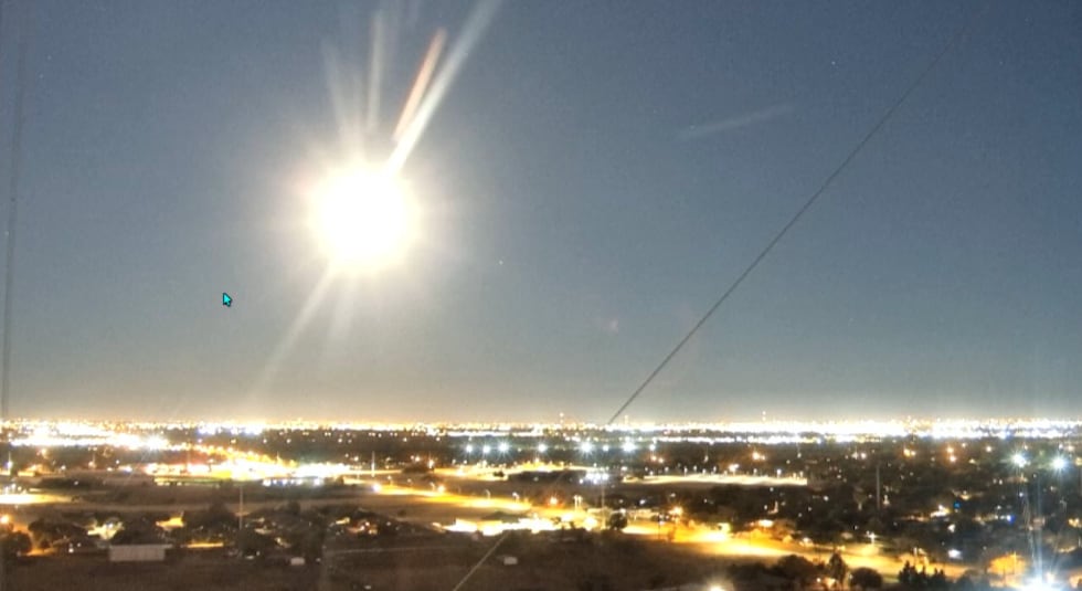
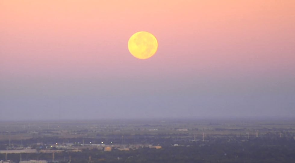 Full moon setting on our western horizon this morning.(KCBD First Alert)
Another front arrives late Thursday. It is a little stronger than the first front, but will drop afternoon temperatures only about ten degrees between Thursday and Friday.
A third cold front is anticipated late Saturday. This is the strongest of the fronts and will drop temperatures to a little below average Sunday and Monday.
Copyright 2025 KCBD. All rights reserved.