
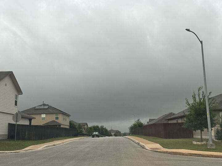
You might want to keep your umbrella handy for the next few days and into next week, just in case. The National Weather Service (NWS) forecasts a chance of some showers and storms for parts of Texas starting this afternoon.
The wetter weather pattern begins Friday, July 10, and will continue into early next week for the San Antonio area. Rain chances are 50% today in our area and drop to 45% on Saturday, July 11, according to the NWS Austin/San Antonio office.
“There will be a chance for some showers and storms, mainly this afternoon for areas along and east of I-35. South to southeasterly winds will stay breezy today,” the NWS said on X.
While rain chances decrease on Sunday to 25%, they will rise again to 55% on Monday, July 13, and Tuesday, July 14, the NWS reported.
It will still be pretty hot this weekend, with temperatures in the low 90s Friday through Sunday. The NWS said the heat index, or feels-like temperatures, remains elevated with a range of 100-107 degrees through Monday. San Antonians may notice a slight cooldown in highs and feels-like temps toward the middle of next week.
According to the National Weather Service (NWS), severe weather is expected to hit the Texas Panhandle beginning Friday evening. A cold front is just days away from arriving, and parts of the state are bracing for the threat of large hail.
Follow MySA’s coverage for the latest weather updates.