
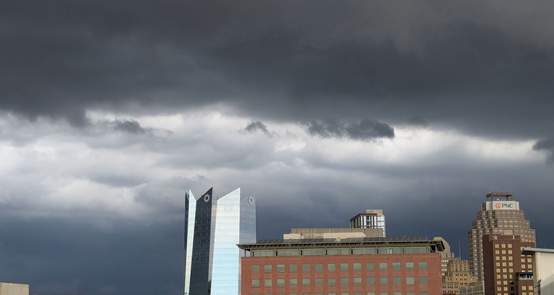
A thunderstorm moves through downtown San Antonio in August last year. Similar skies are possible across the city over the next few days.
San Antonio Express-News/Anthony Franze
A Gulf disturbance is boosting high atmospheric moisture levels in South Texas this weekend, and it will be the focal point for increasing storm chances from Saturday into early next week.

At the same time, however, a lingering area of weak high air pressure will limit storm coverage through this weekend, so not everyone will encounter rainfall. By the start of next week, though, high pressure will move farther away, setting the stage for rising rain chances and an isolated flood threat. Here’s a look at what you can expect in San Antonio.
Article continues below this ad
Weekend forecast
Saturday: A comfortable morning is anticipated across the San Antonio metro area, as temperatures hover in the mid- to upper 70s between 6 and 9 a.m, under partly cloudy skies. A few scattered showers and weak storms could form, but most of this activity will be closer to the Gulf Coast. San Antonio’s morning rain chances will be less than 20%.
Heading into the middle of the day, temperatures will rise steadily, likely reaching the upper 80s at noon before topping out in the lower 90s during the late afternoon. Even though peak temperatures will likely be a few degrees below average for mid-July, elevated humidity in the area will force “feels like” temperatures to near 100 degrees.
Scattered showers and storms are also expected to develop across the region during the late afternoon and evening. However, this activity will be sporadic, with San Antonio rain chances expected at 30% to 40%. The best chance of rain will come between 2 p.m. and 7 p.m.
Article continues below this ad
Sunday: Another humid day is anticipated throughout the region, with high temperatures expected in the lower 90s but heat index values will be closer to 100 degrees. Rain coverage will decrease a bit, with overall chances at just 20% in San Antonio.
Flood threat next week
High atmospheric pressure will shift farther away from Texas on Monday, likely to be centered near Nebraska and South Dakota. That will allow rain coverage to increase late Monday and into the first half of Tuesday.
Article continues below this ad
Much of South and Central Texas is under a level 1 of 4 risk, or at least a 5% chance, of excessive rainfall late Monday and into Tuesday.
NOAA
San Antonio rain chances will reach about 50%, particularly in the 12-hour window between 8 p.m. Monday and 8 a.m. Tuesday morning. A few storms will likely be slow-moving and capable of intense rainfall rates, frequent lightning, and strong wind speeds up to 45 mph.
According to the National Weather Service, much of the Hill Country and Interstate 35 corridor is under a low-end level 1 of 4 risk of excessive rainfall during this time, meaning that isolated flash flooding may become possible for a few spots.
However, because storms will stay scattered, the National Blend of Models is projecting rather modest rainfall totals of between a half-inch and an inch of rain through Tuesday. Isolated higher rainfall totals of more than 3 inches will be possible, though, where the strongest storms set up.
Article continues below this ad
Shown are the potential rainfall totals across South Texas through Tuesday, according to the National Blend of Models. Isolated higher totals of 3 inches or more are possible.
Pivotal Weather
The increasing cloudiness and moisture will cause temperatures to drop a few degrees, with highs expected in the upper 80s to near 90 degrees on Tuesday. Morning temps will stay mostly unchanged, continuing in the mid-70s.
A few lingering showers and storms are possible on Wednesday, but rain chances are likely to decrease significantly by Thursday and Friday. Temperatures will warm back into the 90s, but triple-digit heat is not expected.