
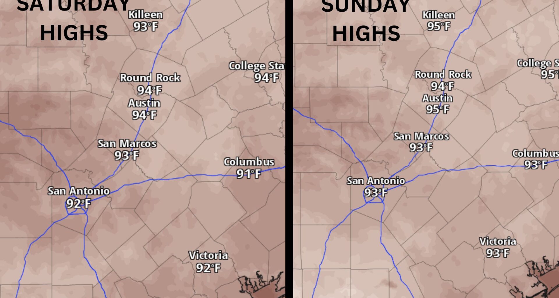
Central Texas will trade the hot, dry pattern for increasing clouds and scattered thunderstorms this weekend. Honestly, this couldn’t have come at a better time as our parched lawns and gardens are starting to get that familiar July crunch.
The change in the weather is being caused by an upper-level atmospheric disturbance lifting north from Mexico and the Bay of Campeche in the southern Gulf of Mexico. While this is not a tropical cyclone and has no tropical characteristics, the disturbance will be drawing a surge of tropical moisture into Texas and produce slow-moving downpours capable of dropping a quick half-inch to an inch of rainfall.
The challenge with this weekend’s weather is that it will be a bit erratic with hit-or-miss showers and storms, making it difficult to pinpoint exactly who will see rain. If you have outdoor plans this weekend, especially Saturday afternoon and evening, keep a close eye on the forecast and be prepared to seek shelter if storms develop nearby.
Sunday will have similar weather, with another round of scattered showers and thunderstorms in the afternoon and evening. Again, it will be hard to pinpoint the exact location or timing of the activity. Both weekend days will come with a 20% to 40% storm chance.
Temperatures likely will be a few degrees cooler than in the past few days because of the cloudiness and possible rain. Afternoon temps will range from the lower 90s in the Hill Country to the mid-90s along Interstate 35, which is fairly close to our mid-July average daytime high of 96 degrees.
Next week is shaping up to be increasingly wet, especially during the first half of the week.
The subtropical ridge that brought Austin its first 100-degree day of the year on Wednesday has shifted into the northern Plains. That change opens the door for several upper-level atmospheric disturbances to move from east to west along the southern edge of the ridge, increasing rain and thunderstorm chances across Texas.
This pattern will bring the best chance for widespread rain and thunderstorms that we’ve seen in several weeks. Current forecasts show a 50% to 70% chance of rain on both Monday and Tuesday.
Rainfall totals of an inch to 2 inches will be possible in some areas, but at this time, widespread flash flooding is not expected. Instead, this looks like the kind of beneficial rainfall that is always welcome during the typically hot and dry month of July.
Temperatures early next week will be a welcome treat, with some locations across Central Texas staying in the 80s during the afternoon. However, later in the week, highs will climb back into the 90s as another plume of Saharan dust moves into Texas by midweek.