
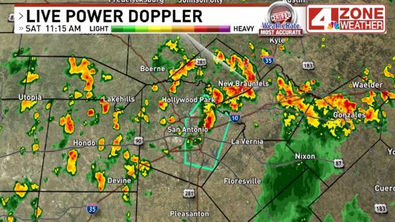
SAN ANTONIO – Scattered showers and storms are underway today in our region. Already we’ve seen a Flood Advisory issued in eastern Bexar County where a quick 1″ to 2″ of rain fell from a passing storm.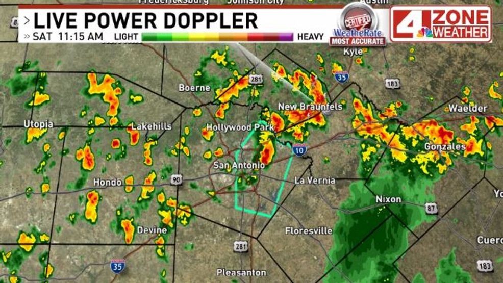
Showers and storms scattered in the area as of 11:15am. Moving north
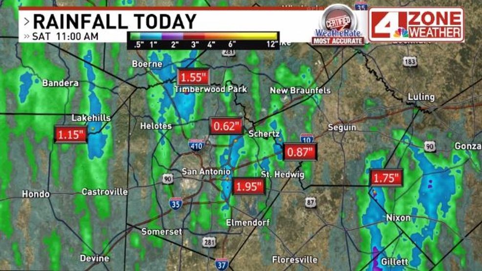
Estimated rainfall so far today
Through the day, a weak upper disturbance moving northwest into our western zone counties will create a favorable environment for additional showers and storms. A tropically humid atmosphere will make storms very efficient at producing heavy rainfall. That’s the main hazard today, if you see a storm where a quick 1″ to 3″ rainfall is possible. While not expecting severe storms, a stronger storm with gusts over 40mph is possible with heating of the day.
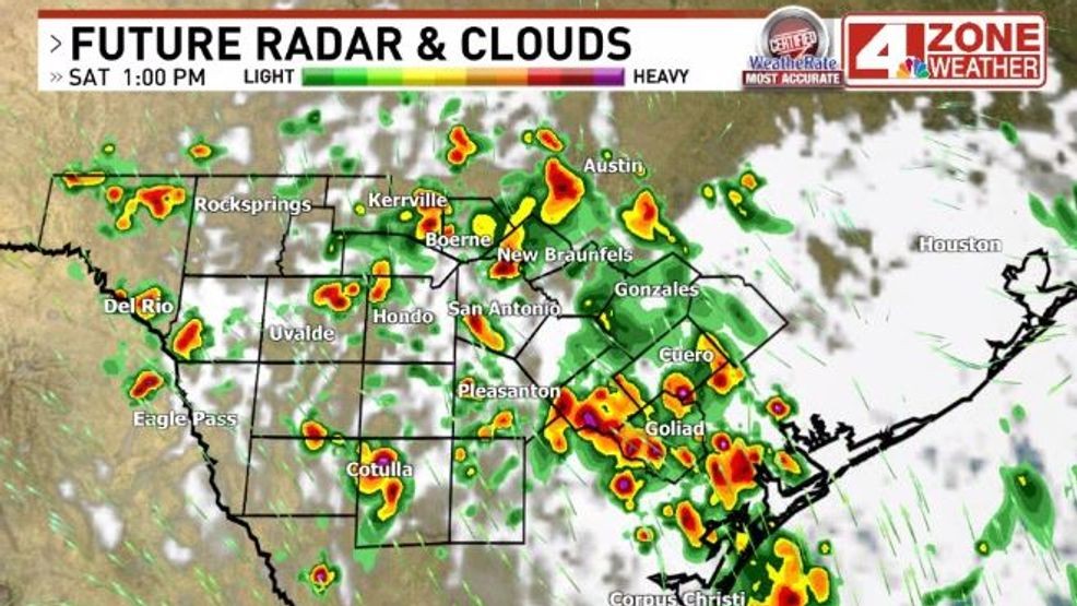
Future radar early afternoon
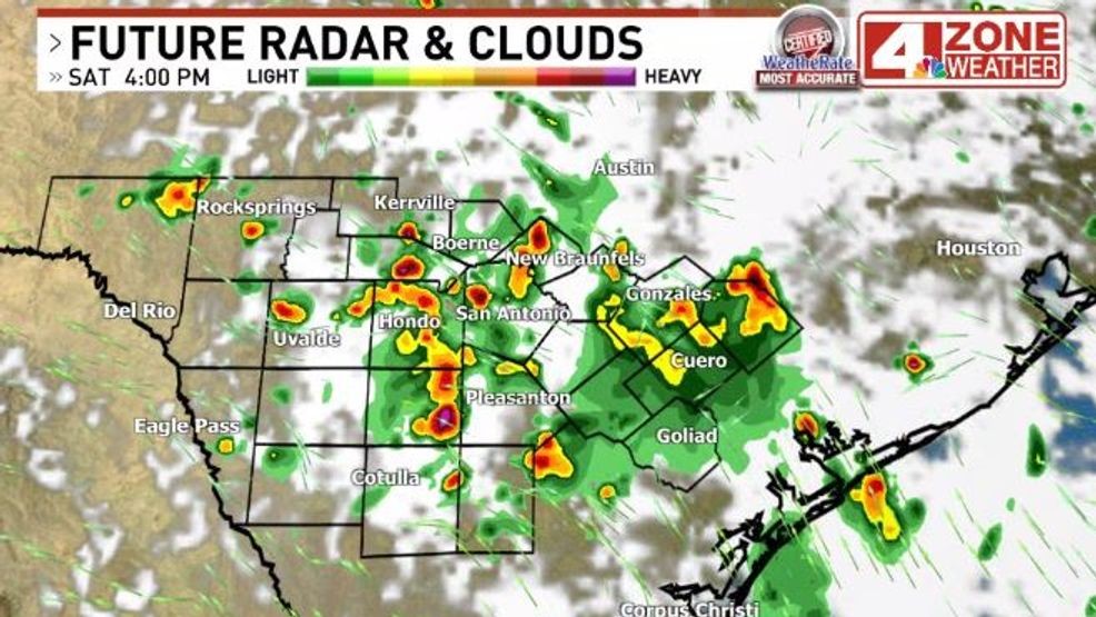
Future radar late afternoon
Activity will decrease this evening with loss of heating. Another scattering is possible Sunday but the coverage will be lower with areas of hot sun too for those planning to be outdoors.
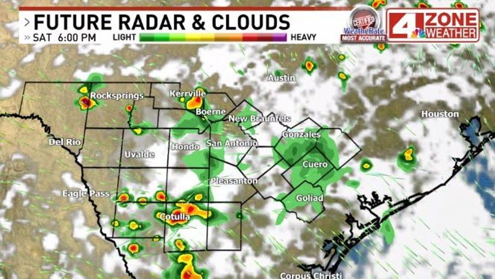
Future radar early evening
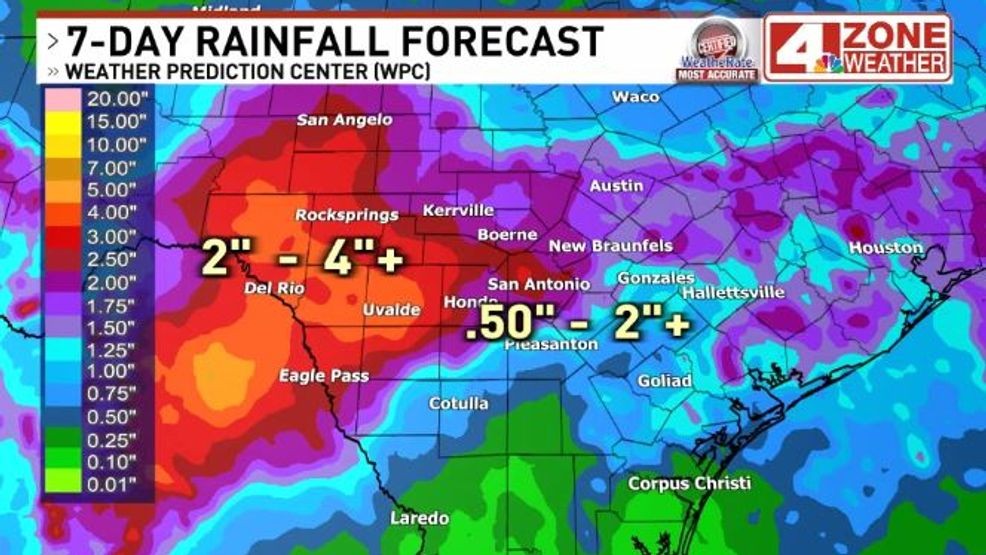
More showers and thunderstorms possible next week too. In fact, we’ll be watching our western tier closely for risk of heavy rainfall and flooding. NOAA’s Weather Prediction Center has a level 2 of 4 flood risk in our western third of the area Tuesday and Wednesday where some spots could see 4″+ rainfall.
Saharan Dust will be moving in next week too. This will create muddy rain scenarios where everything is filthy once the rain dries up leaving behind a dirty deposit from the dust.