
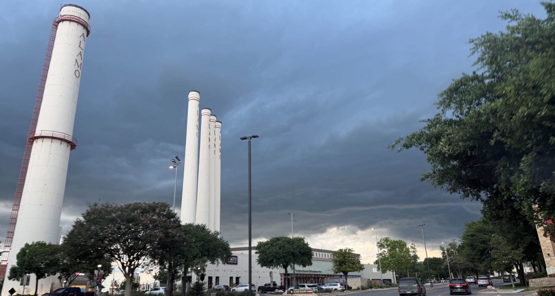
Heavy rain and thunderstorms triggered emergency weather alerts across parts of the San Antonio area Saturday as the National Weather Service warned of life-threatening flash flooding in western Bexar County.
The National Weather Service issued a Flash Flood Warning through 6 p.m. on July 11, triggering Wireless Emergency Alerts that warned residents not to travel unless fleeing flooding or under an evacuation order. Forecasters said the strongest storms could produce rainfall rates of 1 to 3 inches per hour, creating dangerous conditions on roadways and in low-lying areas.
In an afternoon update, the NWS Austin/San Antonio office said the heaviest rainfall was expected in western Bexar County, where intense thunderstorms were already producing heavy downpours. Officials urged drivers to avoid flooded roads and follow the agency’s message: “Turn around, don’t drown.”
Saturday’s storms come as rain chances continue across South Central Texas. According to the National Weather Service forecast discussion, isolated to scattered showers and thunderstorms are expected through the weekend, with daily rain chances continuing into next week. Forecasters say repeated rounds of rain could bring cumulative rainfall totals of more than 3 inches by Tuesday in some locations.
While not everyone will see heavy rain, any storm that develops could dump a lot of water in a short amount of time. Drivers should watch for flooded roads and never drive through standing water.