
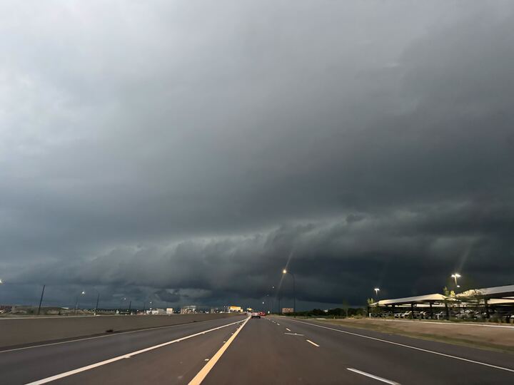
If you put away your umbrella hoping for the sun to come back out and greet you for Sunday Funday Sunday afternoon to night on July 12, think again.
The National Weather Service has has provided an update on the days chances for scattered showers and thunderstorms, and the outlook has me grabbing my rain boots and hoping I can mow the lawn in time before it all falls down. ” Isolated to scattered showers and storms are expected today [July 12] along with highs in the mid 80s to the mid 90s,” the NWS said. “South to southeasterly winds will be occasionally gusty.”
Winds will be strong, ranging from 5 miles per hour to up to 20 miles per hour, so I hope you have stuff tied down in the yard. Timing on thunderstorms are more likely after 4 p.m., according to the NWS, as a 20% chance of showers and thunderstorms lingers with a possible high temperature of about 92 degrees in the San Antonio area. Between 4-7 p.m., a slight chance of storms remains and mildly increases as the sun sets until 10 p.m. Sunday night.
Heading into Monday, July 13, the chance for thunderstorms grows through the day, up to 30% but more likely into the afternoon after 1 p.m. However, the sun may return as the NWS says it may be partly sunny, with triple-digit heat indexes as high as 101 degrees.
So folks hoping for the rain, rain to go away, I’m sad to report it could be here to start your week. And with an increased chance of storms coming possibly through the whole week? Pack those umbrellas and rain coats.