
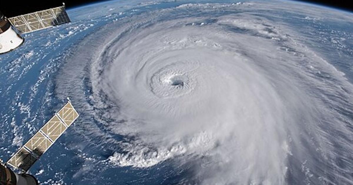
While the 2026 Atlantic hurricane season is now expected to be significantly quieter than normal, meteorologists say residents along the Texas Gulf Coast should not let their guard down, emphasizing that it takes only one storm to make a season memorable.
Colorado State University’s widely followed seasonal hurricane forecast, updated Wednesday, July 8, lowered expectations for Atlantic storm activity for the second consecutive month, citing growing confidence that a strengthening El Niño will suppress tropical cyclone development through the peak of hurricane season.
Researchers now forecast nine named storms, four hurricanes and one major hurricane across the Atlantic Basin this year, down from 11 named storms, five hurricanes and two major hurricanes projected in June. The latest outlook is also a notable reduction from the April forecast of 13 named storms and six hurricanes.
For South Texas News counties, the revised forecast offers encouraging news after several years of above-average hurricane activity. However, the report stresses that the overall number of storms does not determine whether a particular stretch of coastline will experience a damaging hurricane.
“As with all hurricane seasons, coastal residents are reminded that it only takes one hurricane making landfall to make it an active season,” the report states. “Thorough preparations should be made every season, regardless of predicted activity.”
The Texas coast’s outlook reflects that caution.
Colorado State researchers estimate there is a 10 percent chance that at least one major hurricane – Category 3 or stronger – will make landfall somewhere along the Gulf Coast from the Florida Panhandle westward to Brownsville after July 7. While that is well below the long-term average of 27 percent, it does not account for weaker hurricanes or tropical storms, both of which can produce life-threatening storm surge, flooding rainfall and tornadoes.
The probability of at least one major hurricane striking anywhere along the continental United States coastline is forecast at 17 percent, compared with the historical average of 43 percent.
A very strong El Niño is expected to dominate atmospheric conditions during August through October, traditionally the busiest months of hurricane season.
El Niño typically increases upper-level winds over the tropical Atlantic and Caribbean, creating stronger vertical wind shear that tears apart developing tropical systems before they can strengthen into hurricanes. At the same time, sea surface temperatures across the Caribbean and tropical Atlantic have cooled to near their long-term averages after several years of record warmth, removing another key ingredient that fuels hurricanes.
If the forecast proves accurate, the 2026 season would finish well below the 1991-2020 averages of 14.4 named storms, 7.2 hurricanes and 3.2 major hurricanes. Colorado State projects just 35 named storm days, 12 hurricane days and an Accumulated Cyclone Energy (ACE) index of 50 – less than half the long-term average of 123. Overall tropical cyclone activity is expected to reach only about 40 to 45 percent of normal.
For South Texas News-area residents, however, history provides plenty of reminders that quiet seasons can still produce devastating impacts.
Hurricanes such as Harvey in 2017, Hanna in 2020 and Beryl in 2024 demonstrated that it takes only one storm tracking toward Texas to produce catastrophic flooding, storm surge and wind damage. Seasonal outlooks cannot predict where storms will develop or where they will ultimately make landfall, only how active the basin is expected to be overall.
The Colorado State forecast also incorporates several forecasting techniques, including traditional statistical models, international climate models and, for the first time, an artificial intelligence-based atmospheric model. All pointed toward unusually strong wind shear across the Atlantic’s Main Development Region during the peak of hurricane season, reinforcing confidence in a quieter-than-normal year.