
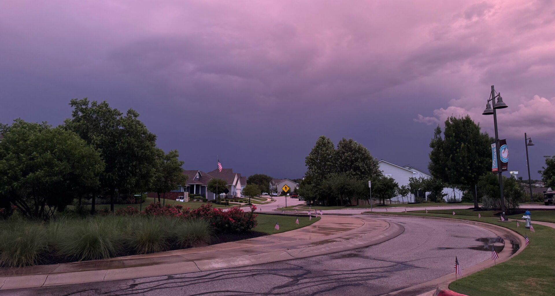
Well folks, after weekend weather went from thunderstorms heavy enough to knock out power in the city, to a somewhat sunny Sunday, this week in the 210 could potentially lead to the former, according to the National Weather Service.
While Sunday, July 12, showed scattered showers after the down pour on Saturday, July 11, the San Antonio area is in store for a few inches worth of rainfall between Monday, July 13 and Thursday, July 16. “An active period of weather is expected for South Central Texas as tropical moisture teams up with an upper-level disturbance this week,” the NWS said. “There is a Level 1 to 2 of 4 (Marginal to Slight) Risk for flooding rain this week for all of South Central Texas Monday through Thursday. Tropical moisture in place will result in very heavy rainfall rates in storms, with up to 1-3” [inches] per hour at times.”
Rainfall amounts could get up to 8 inches in isolated areas of rainfall, while 2-6 inches are possible across the area “particularly over the Rio Grande Plains and Edwards Plateau region,” the NWS said. “A flood watch may be required for portions of the area within the next 24-48 hours.” The westernmost part of the South Central Texas area are more likely to see the highest amounts of rainfall, from Uvalde all the way to Langtry, according to the NWS.
While rain chances remain at about 20% through Monday afternoon, as the sun goes down, thunderstorm risk climbs and a 60% chance of precipitation lands in the forecast. Chances for showers will pinball between 50-60% through Wednesday night, July 15, before finally dropping off Thursday, all the way to 30%. Amid the rain chances, highs in the area will stay below 90 degrees between Tuesday and Friday, July 17, before finally landing back in the 90s on Saturday.
It may be a roller coast week y’all, so strap in. Or rather, keep your rain coat in the car, at least.