
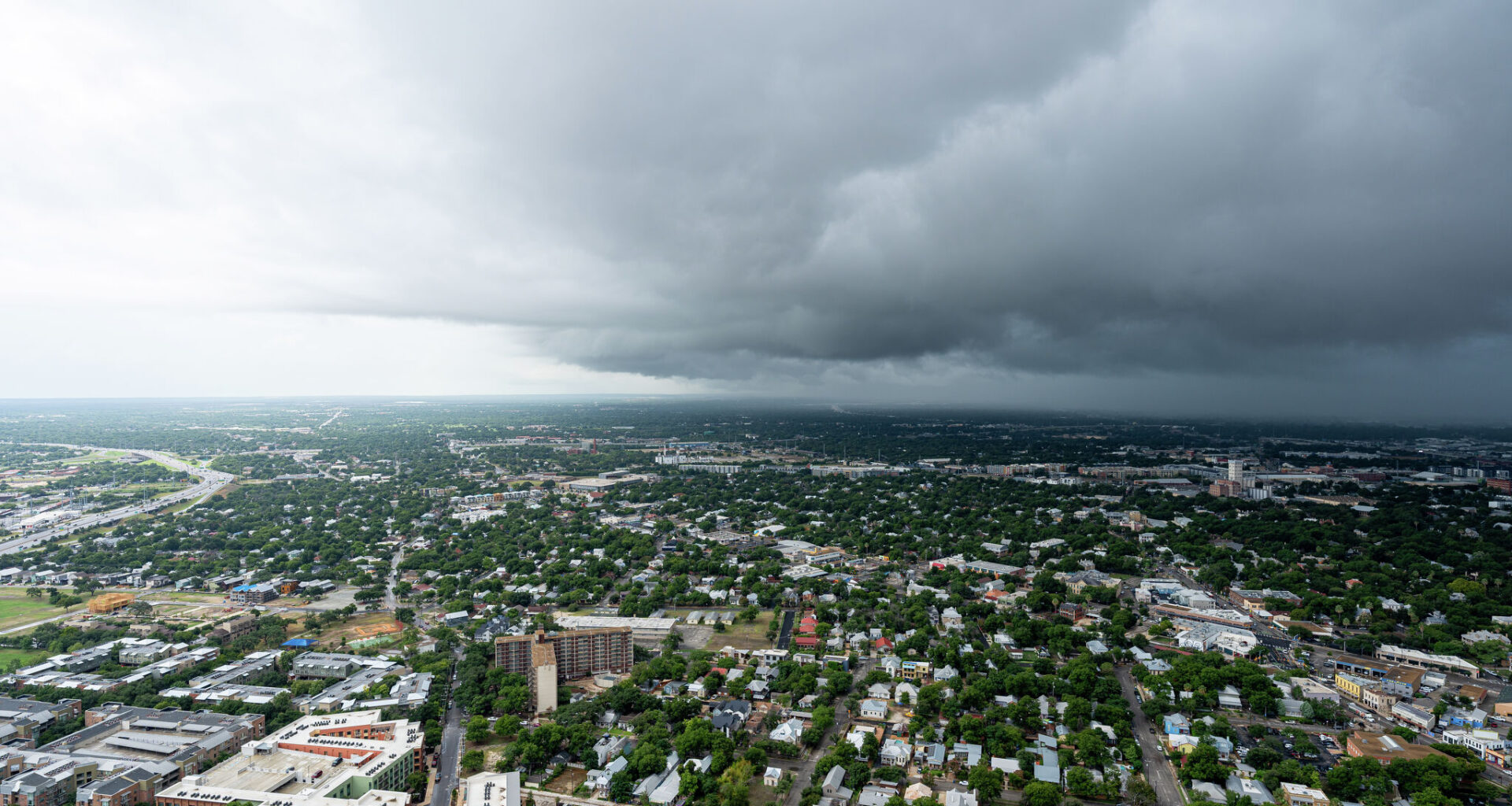
Did you catch that emergency alert? The National Weather Service (NWS) is warning San Antonio residents of “life-threatening flooding” as powerful storms are expected to develop this week.
The agency sent out a mass mobile notification at around 10 a.m. on Monday, July 13. According to the Severe Weather Alert, the following counties are at risk: Bandera, Bexar, Blanco, Burnet, Comal, Dimmit, Edwards, Frio, Gillespie, Hays, Kendall, Kerr, Kinney, Llano, Maverick, Medina, Real, Travis, Uvalde, Val Verde, Williamson, and Zavala.
Over the weekend, viral social media videos depicted various Alamo City roadways with high water conditions. Residents should keep an umbrella with them, as the radar shows more rain is en route to Texas. There is a 20% chance of rain after 4 p.m. Shortly after midnight, the likelihood shoots up to 60%. Come Tuesday morning, July 14, new rainfall amounts could be between half and three-quarters of an inch, per the NWS website.
“There is a potential for life-threatening flooding somewhere in the watch area. Excessive runoff may result in flooding of rivers, creeks, streams, and other low-lying and flood-prone locations,” the alert read. “Creeks and streams may rise out of their banks. Flooding may occur in poor drainage and urban areas.”
Other areas to watch out for are neighborhood low-water crossings and city streets, the agency wrote in the alert. Overall, the storms barreling toward the San Antonio area are capable of producing 2 to 6 inches of rain, with isolated areas at risk of an astounding 10 inches. Forecasters estimate that the Rio Grande Plains and the southern Edwards Plateau will see the highest totals.
As the NWS website states, a Flood Watch is issued when conditions are favorable for flooding; It does not mean flooding will occur, but it is possible. If a Flood Warning or Flash Flood Warning is sent out, locals should immediately take action, because those mean that flooding is imminent or occurring.
The Flood Watch expires on Thursday, July 16, at 9 p.m.