
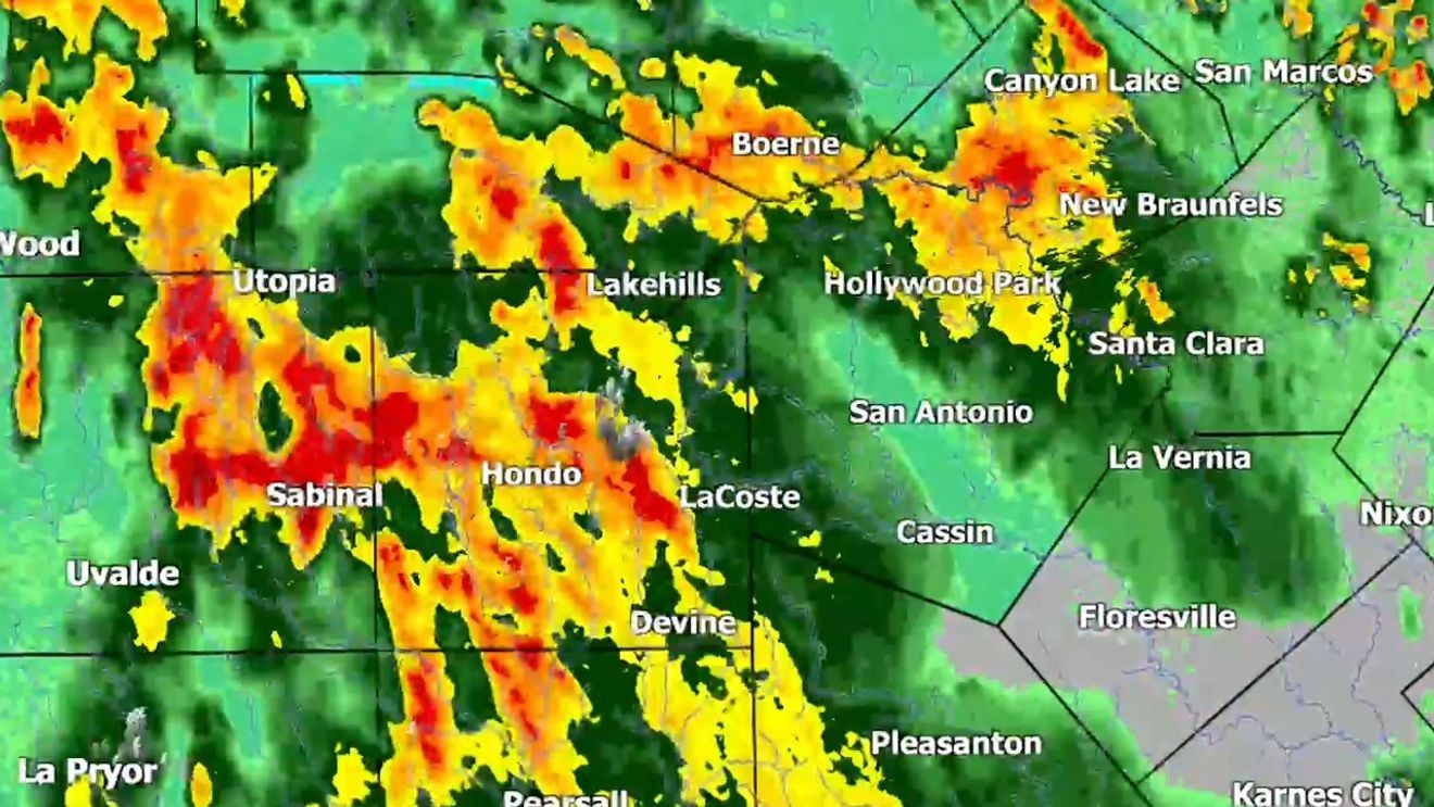
SAN ANTONIO – The most dangerous phase of an ongoing flood event is expected to begin tonight, with another round of torrential thunderstorms developing and continuing into Wednesday morning across areas already soaked by heavy rain.
Meteorologists warn this could become a “potentially catastrophic, multi-round flood event,” especially for communities along and west of the U.S. 90 corridor, where repeated thunderstorms may dump another 10 to 20 inches of rain in localized areas.
WATCH LIVE | Flood Watch through Thursday
While not every community will experience the worst conditions, those that do could face life-threatening flash flooding overnight.
The highest risk includes Medina and Uvalde counties, the western Hill Country, the southern Edwards Plateau and the Rio Grande region, including the Del Rio and Eagle Pass corridor.
Forecasters say widespread rainfall totals of 2 to 6 inches are expected through the short-term forecast period, but isolated areas repeatedly hit by thunderstorms could receive significantly more.
This is a high-end, potentially life-threatening flood operation for communities west of San Antonio.
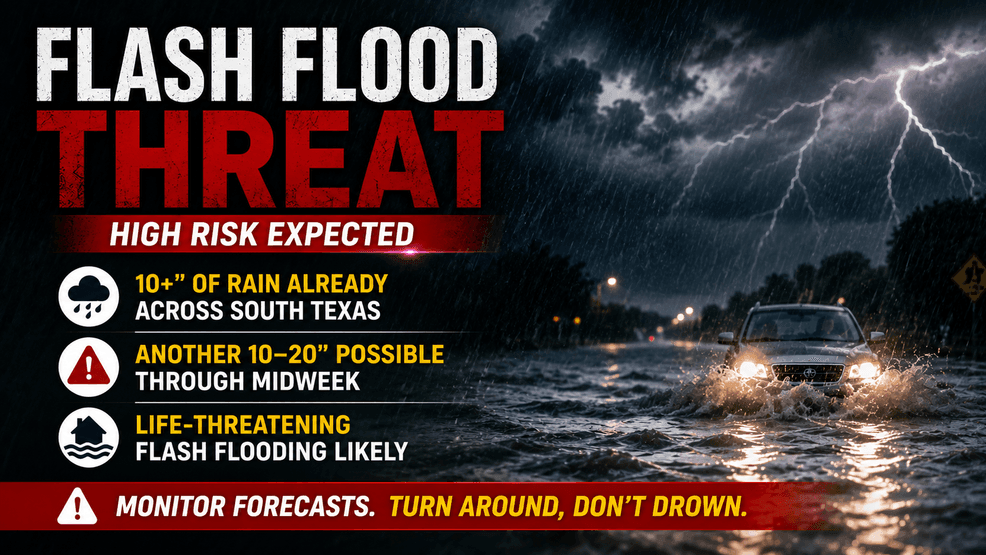 Overnight poses the greatest danger
The primary concern stretches from Tuesday night through Wednesday morning, when atmospheric conditions are expected to support repeated thunderstorms moving over the same locations.
Rainfall rates could reach 2 to 4 inches per hour, producing extremely rapid runoff that may overwhelm creeks, rivers and low-water crossings.
The overnight timing makes the situation especially dangerous because many people will be asleep when warnings are issued, visibility will be poor and floodwaters can rise rapidly before sunrise.
Forecasters also warn that a lull in rain Tuesday afternoon should not be interpreted as the end of the threat. Storms are expected to reorganize Tuesday evening before becoming more widespread overnight.
Rivers could continue rising after the rain ends
Meteorologists caution that this event will unfold in two phases.
The first phase involves dangerous flash flooding, with roads becoming impassable, low-water crossings submerged and creeks rising within minutes.
The second phase could bring significant river flooding as runoff from multiple tributaries combines downstream. Moderate to major flooding is becoming an increasing concern on several western river systems.
Waterways being closely monitored include the Nueces, Frio, Dry Frio, Sabinal, Leona and Devils rivers, along with tributaries feeding the Pecos and Rio Grande.
River levels may continue rising for hours, or even longer, after the heaviest rain has ended.
Communities of greatest concern
Forecasters say the greatest concern remains along the U.S. 90 corridor west of San Antonio, including communities such as:
HondoD’HanisSabinalKnippaUvaldeBrackettvilleDel RioEagle Pass
The threat also extends north into portions of the western Hill Country and southern Edwards Plateau.
San Antonio and Bexar County remain under an elevated excessive rainfall risk, and locally heavy storms remain possible. However, the highest-end catastrophic rainfall threat is currently expected to remain west of the city.
Flood threat continues through Thursday
Additional rounds of showers and thunderstorms are possible through Thursday, and the Flood Watch remains in effect until 7 p.m. Thursday.
Officials warn that where the highest rainfall totals occur, impacts could include destructive creek and river surges, water entering homes and businesses outside of typical flood zones, damage to roads and bridges, fast-moving water crossing highways, possible evacuations and life-threatening conditions near rivers, creeks, campgrounds and low-water crossings.
Forecasters say confidence is high that the atmosphere is capable of producing extreme rainfall and that additional rounds of storms will continue. However, exactly which county or watershed will receive the most intense overnight rainfall will not become clear until storms begin organizing Tuesday evening.
Residents in flood-prone areas are urged to closely monitor forecasts, avoid traveling overnight if possible and never drive across flooded roadways. Even after rainfall ends, dangerous flooding along rivers may continue as water moves downstream.