
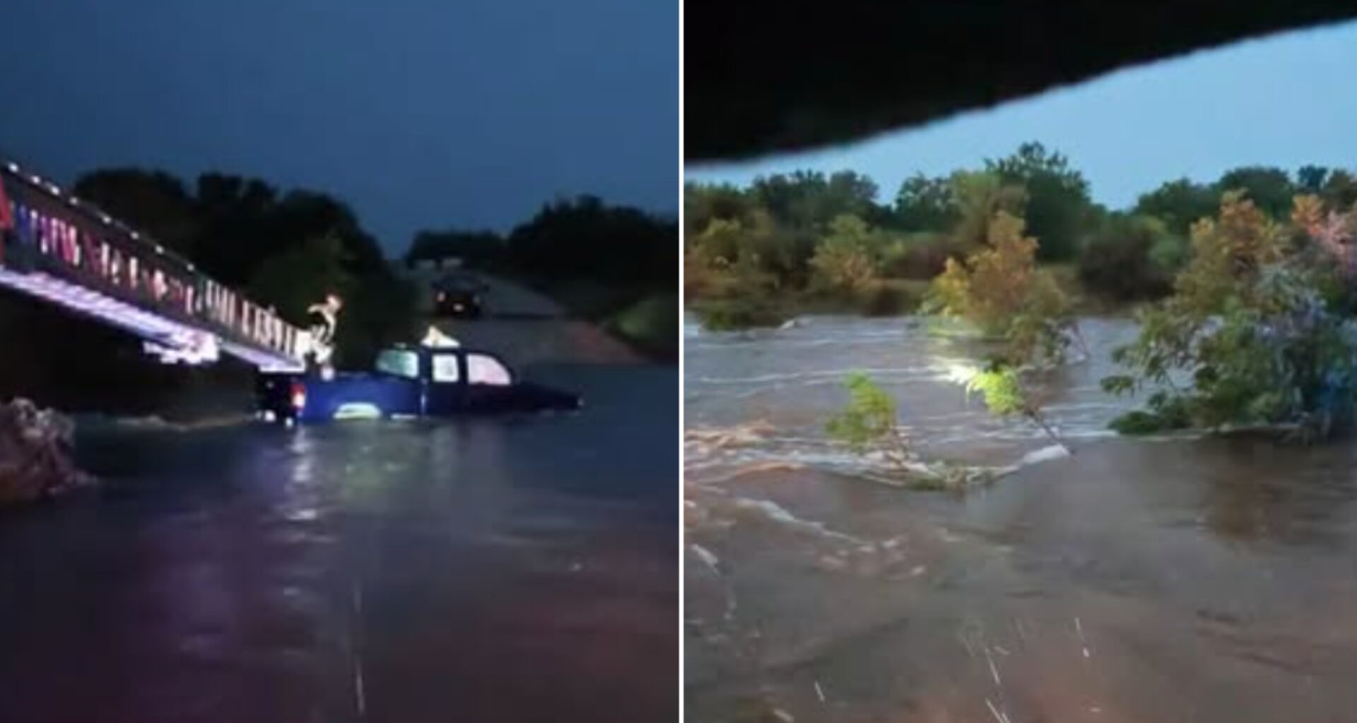
A flash flood watch has been issued across the Texas Hill Country this week, as the National Weather Service (NWS) warns that potentially “life-threatening” flooding could occur due to excessive rainfall. Forecasters are monitoring the Guadalupe River and other bodies of water as flooding concerns persist amid the possibility of heavy rain. The watch remains in effect through Thursday, July 16.
NWS said some of the highest rainfall amounts will fall along the western Hill Country, where the Guadalupe River is located, and isolated storms could produce 10 to 15 inches of rain this week. The agency said this region is where there is the greatest concern for flooding. The Rio Grande Plains and southern Edwards Plateau could also be impacted.
According to data from the Upper Guadalupe River Authority’s RiverHub resource, all river gauges along the Guadalupe River currently remain at “normal” water levels. However, as of Tuesday morning at 10 a.m., one river gauge near Center Point showed an “active” elevation, with river levels rising to nearly eight feet. By noon, the river had fallen back to 6.68 feet.
As of Tuesday, July 14, the South Fork of the Guadalupe River near Hunt is at 4.55 feet; the North Fork near Hunt is at 64 feet; and in central Hunt, the river is at 8.07 feet.
On Monday, the Kerr County Sheriff’s Department re-shared a social media post by popular public figure and broadcast meteorologist Cary Burgess, also known online as Dr. Doppler, stating that the Guadalupe River was expected to reach minor to moderate flood stages, with a chance of more significant impacts depending on the severity of ongoing rainfall.
Other portions of the river in Kerrville range from 2.5 to 4.1 feet, and the eastern tip of the river is currently at 4.54 feet.
The Medina River is also being monitored as “potentially catastrophic” rainfall continues across the Hill Country near Medina, Bandera, and Hondo. Current water data show the river has maintained its recent boost after an incredibly wet spring and summer. According to Water Data for Texas, the river is currently at 9.1% of its capacity, whereas just one month ago, on June 14, the reservoir was 3.9% full. According to the National Oceanic and Atmospheric Administration and the National Water Prediction Service, the Medina River near Bandera spiked overnight on July 14, rising from 3.4 feet to 11.6 feet.
Nearby, Medina County Fire and EMS crews say they conducted two water rescues this morning after vehicles were swept off of low-level crossings at the Medina River, which feeds into Medina Lake. The agency said in a Facebook post at 10:41 a.m. that the area received more than 10 inches of rain overnight, with more expected, potentially causing additional flooding in low-lying areas and along the Medina River and other watersheds.
“We continue to encourage limiting your travel to only necessary trips as we work through this (weather event and use extreme caution when travel is a must especially as the sun goes down,” the Facebook post said.