
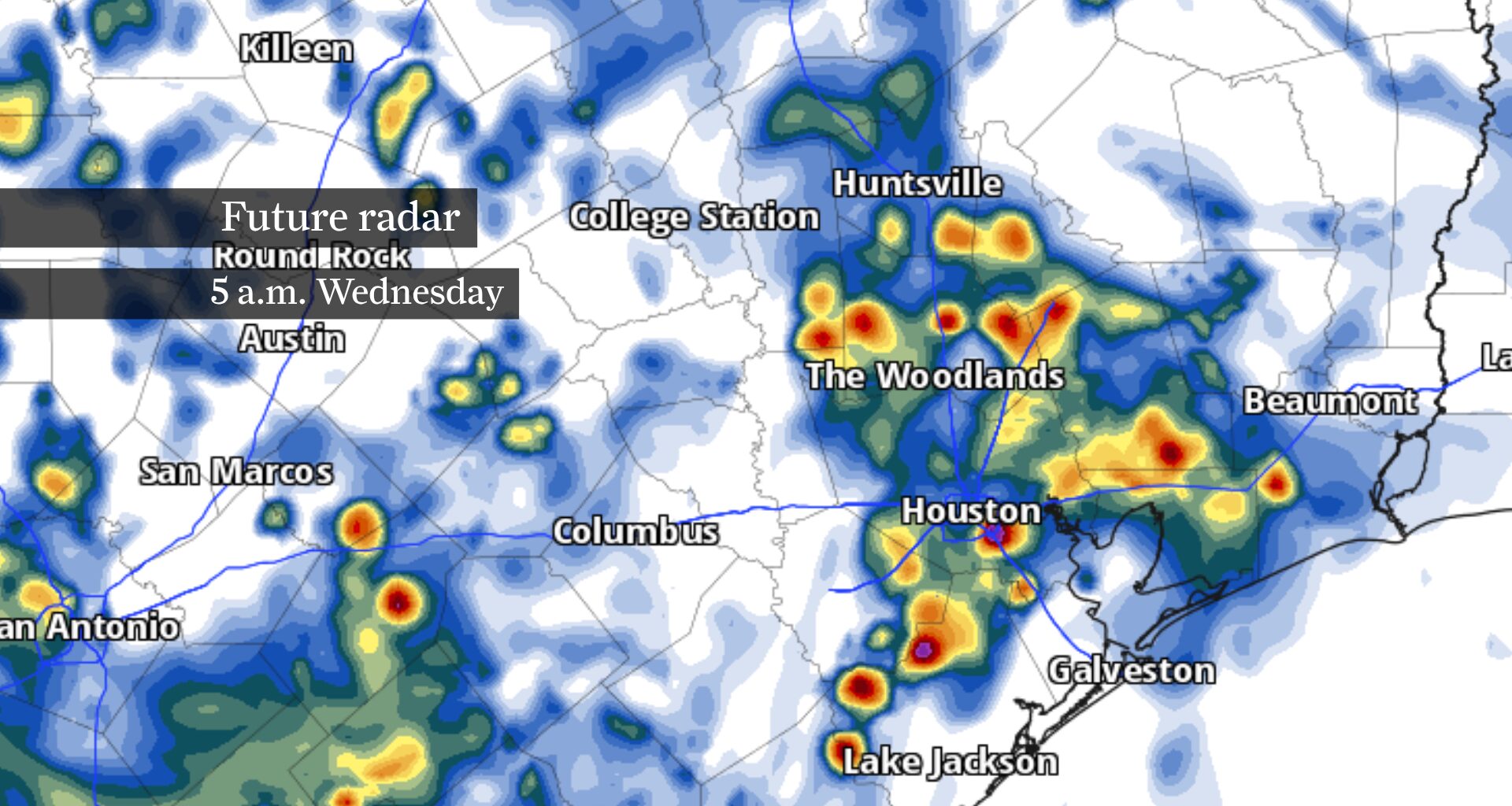
By Thursday, rain becomes more isolated as high atmospheric pressure strengthens overhead. Meanwhile, temperatures and humidity steadily climb into the weekend. By this weekend, most neighborhoods should stay rain-free, but afternoon heat index values, or humidity-driven “feels like” temperatures, will climb back above 100 degrees.
Morning: Showers and thunderstorms are expected to redevelop before sunrise Wednesday, with the greatest rain coverage during the morning commute. Periods of heavy rainfall could reduce visibility and leave water pooling on roads, especially south and west of Houston. Rainfall will remain uneven, with some neighborhoods staying mostly dry while others pick up an inch or more in less than an hour.
The more significant flash flood threat remains well west of Houston, across the Hill Country and in portions of Central and West Texas. Multiple rounds of heavy rainfall through Thursday could trigger life-threatening flash flooding. Some communities west of San Antonio could receive several more inches of rain on top of what has already fallen.
Afternoon and evening: Storm coverage should gradually decrease through the afternoon as the atmosphere begins adopting a drier pattern. A few showers or thunderstorms could still develop during the heat of the day, but many neighborhoods will remain dry with temperatures reaching the mid- and upper 80s.
Any lingering storms should fade after sunset, setting the stage for a quieter Thursday, as high air pressure continues strengthening over Southeast Texas.
As high pressure builds Thursday over Southeast Texas, it’ll become harder for showers and thunderstorms to develop. A few streamer showers may drift inland early in the morning, while the afternoon sea breeze could spark a handful of thunderstorms near and south of Houston.
Many communities, however, should remain dry for the day. As sunshine becomes more common, afternoon temperatures will climb into the upper 80s and lower 90s, signaling the return of a more typical midsummer weather pattern.
The focus shifts from rain to heat by the weekend.
Afternoon temperatures will continue climbing into the upper 80s and lower 90s Saturday and Sunday while humidity remains firmly in place. The combination of heat and excessive humidity will push afternoon heat index values, or “feels like” temperatures, into the upper 90s and lower 100s.
A stray afternoon thunderstorm remains possible each day along the sea breeze, and a few overnight streamer showers could briefly move inland. Even so, the weekend should feature longer stretches of dry weather as Houston settles back into a more typical July weather pattern.