
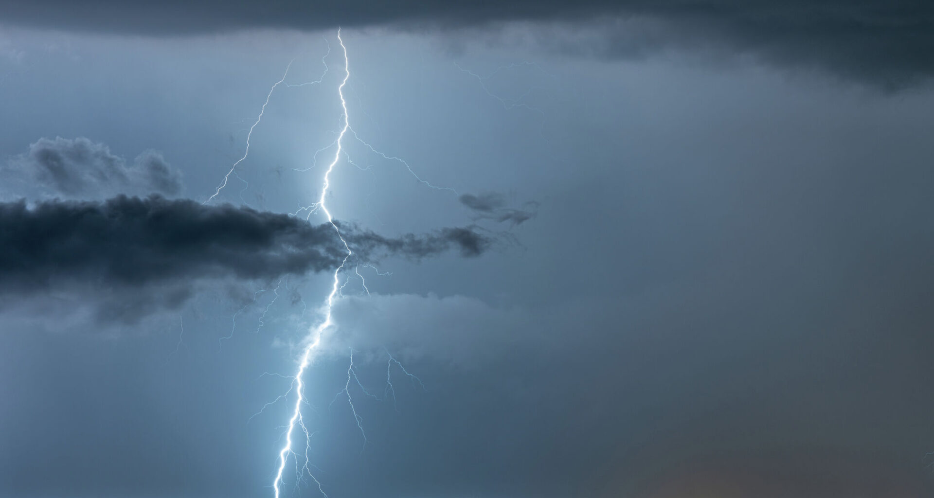
A tornado warning was quickly issued for parts of Frio and Medina County on Wednesday, July 16. The warning issued by the National Weather Service was originally set to expire by 6:30 a.m. However, NWS extended to 7:15 a.m.
“At 5:54 a.m. a severe thunderstorm capable of producing a tornado was located over Frio Town, or 14 miles northwest of Pearsall, moving north at 15 miles per hour,” NWS said.
If you’re in the area, forecasters urge to seek shelter.
“Move to a basement or an interior room on the lowest floor of a sturdy building. Avoid windows. If you are outdoors, in a mobile home, or in a vehicle, move to the closest substantial shelter and protect yourself from flying debris, NWS said.
The warning comes as a severe thunderstorm warning was issued for Yancey until 6:45 a.m. NWS warns the storm is capable of producing hail up to pea-size and wind gusts up to 70 miles per hour.
The warning comes as the National Weather Service issued a rare Level 4 high risk for excessive rainfall west of San Antonio. While the exact timing and location were not immediately clear, the latest Weather Prediction Center outlook places communities from Castroville to the Texas-Mexico border within the high-risk zone. Some parts of South Central Texas have already received 10 to 15 inches of rain, and forecasters warn another round of torrential rainfall could be on the way.