
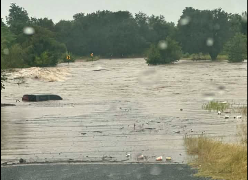
On X, the NWS warned residents that more heavy rain and flooding could soon follow. Forecasters said the storms were moving northward around 1:45 p.m., with the heaviest activity stretching across the eastern Hill Country and the Interstate 35 corridor. The weather service urged drivers to heed its familiar warning: “Turn Around, Don’t Drown.”
The continued showers come as a Flood Watch remains in effect for parts of the Texas Hill Country, the Interstate 35 corridor, the southern Edwards Plateau, and the Rio Grande Plains through Thursday evening, according to the NWS. There is the potential for life-threatening flooding in the watch area, the NWS warned.
For Thursday evening, residents in the northern west parts of the San Antonio area can expect several rounds of showers and thunderstorms, the NWS added on its website. Widespread additional amounts of 2-6 inches are possible across the Flood Watch area and isolated additional amounts of 10-20 inches are possible mainly over the Rio Grande Plains, southern Edwards Plateau and western Texas Hill Country, according to the NWS.
San Antonio was just hit by a tornado that touched down near the Dominion area and moved north towards Leon Springs, weakening as it approached Fair Oaks Ranch, according to the NWS. The damage from the tornado forced Santikos Palladium to close for the day.