
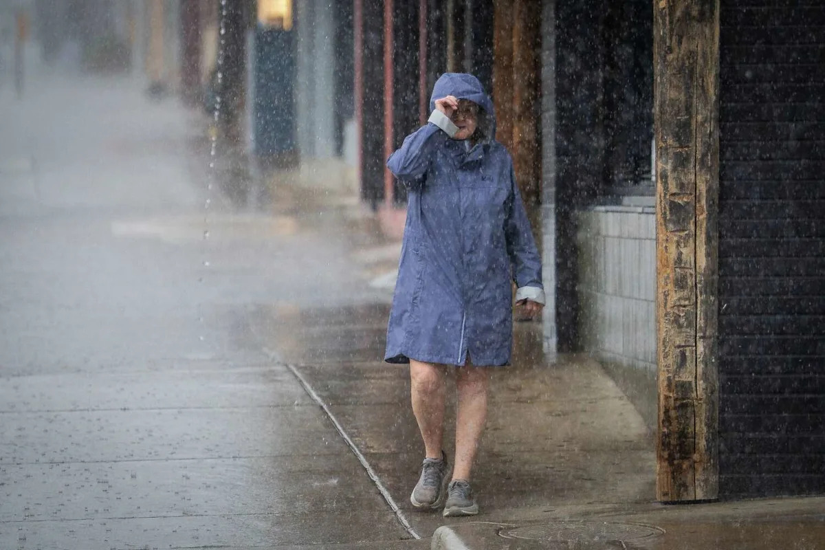
While it’s been nice to see cooler temperatures and heavy rainfall in July, typically our second-driest month of the year, it has come at a price. While flash flooding has been reported in parts of Central and South Texas, we only have one more day of potential flooding before a change arrives this weekend.
The weather system responsible for the relentless rain in Central Texas will slowly drift west, moving the heaviest rainfall away from the Austin area while putting saturated parts of the Hill Country, Edwards Plateau, and Rio Grande Plains back in the cross hairs.
A flood watch issued by the National Weather Service remains in effect for the region until Thursday night.

A flood watch remains in effect for Central and South Texas until 7 p.m. Thursday. (National Weather Service)
Thursday forecast
Scattered rain and thunderstorms will be possible throughout Thursday with pockets of moderate to heavy rainfall.
The timing of the thunderstorms will be hard to nail down, as it depends on their movement in the upper levels of the atmosphere as well as the leftover outflow boundaries from the previous storms on Wednesday. Overall, we are giving it a 40% to 60% coverage for rain.
The weather service’s Weather Prediction Center still has the Hill country under a level 1 to 3 out of 4 risk, or at least a 5% to 40% chance, of flooding rainfall on Thursday.

The excessive rainfall outlook for Thursday from the National Weather Service’s Weather Prediction Center has San Antonio under a level 1 out of 4 risk, or at least a 5% chance of flooding rainfall, with areas near Del Rio under a level 3 out of 4 risk, or at least a 40% chance, for flash flooding. (Weather Prediction Center)
Temperatures will be cooler than normal, with morning temps in the 70s and afternoon heat only reaching the 80s.
Friday forecast
A few showers and thunderstorms will remain possible during the first half of Friday, but rain chances will steadily decrease throughout the day. By late afternoon and evening, breaks in the clouds should begin to develop, allowing for more sunshine.

High air pressure will begin to move into the Lone Star state on Friday and take over through the weekend. (Weather Prediction Center)
Temperatures will also begin to rebound. Morning temps will settle into the mid-70s, while afternoon temps climb to around 90 degrees, which is still several degrees below the mid-July average high of 96 degrees.
Weekend forecast
Flood water flows through a restaurant’s parking lot on Wednesday in Boerne. (Darren Abate/Associated Press)
A ridge of high atmospheric pressure will strengthen over Texas this weekend, bringing a much-needed break from the heavy rainfall and active weather. If you have outdoor plans, the forecast is looking great, with a return to classic Texas summertime weather.
Expect morning clouds to give way to afternoon sunshine, light winds, and temperatures in the lower to mid-90s. Humidity will still make it feel closer to 100 degrees during the hottest part of the day, so be sure to stay hydrated if you’re spending time outside.
This article originally published at Austin’s flood threat ends Thursday, but is the rain really gone for Central Texas?.