
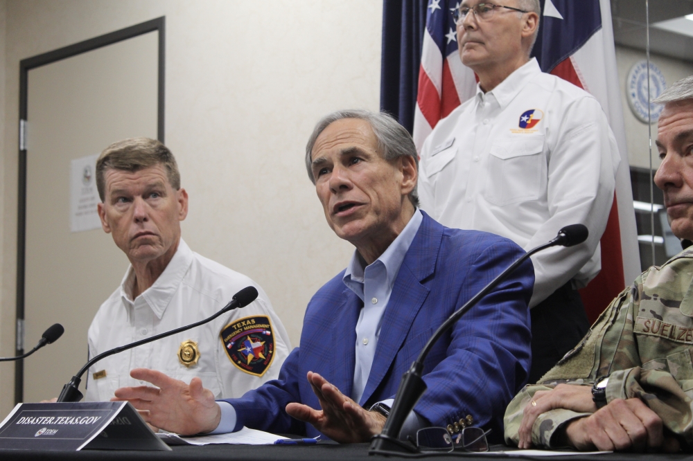
“I’ve had family members today that were driving to work on on roads and in construction areas where the water on those roads completely surrounded them,” Texas Division of Emergency Management Chief Nim Kidd told reporters. “They were not driving through water when they started. If you do not have to be out on the Texas roads right now in this impacted area, do your best to stay home and work from home.”
Areas in the Nueces River basin are most at risk of flooding, Abbott said, warning residents of other parts of South and Central Texas to stay alert. Swaths of the region have received 10-15 inches of rain so far and are expected to see another 10-15 inches through July 16, according to forecasters.
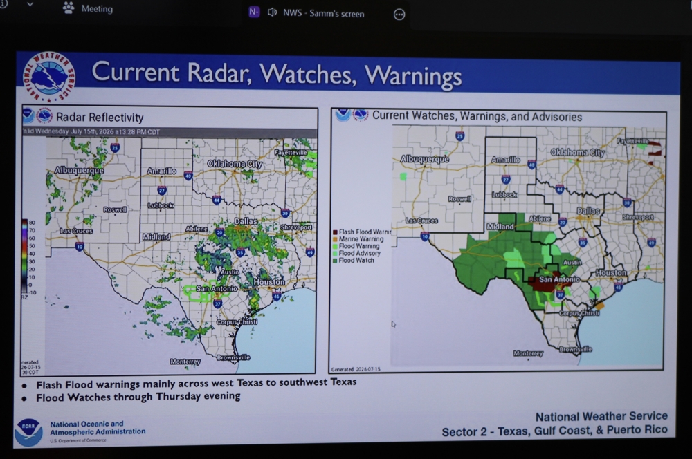 A map from the National Weather Service shows rainfall conditions and flood warning areas in South and Central Texas during a July 15 briefing at the State Operations Center in Austin. (Hannah Norton/Community Impact)A tornado also touched down in northwest San Antonio July 15, although no injuries or deaths had been reported, Mayor Gina Ortiz Jones said on X. Additional tornado warnings were in effect east of San Antonio through 7 p.m., according to the National Weather Service.
More than 800 vehicles and 1,300 state personnel are available to respond to the severe weather and make rescues, the governor said. The state is closely coordinating with local emergency management offices, officials said.
Abbott said the biggest challenge that emergency responders face is ensuring that Texans are aware of the severe weather and its potential consequences.