
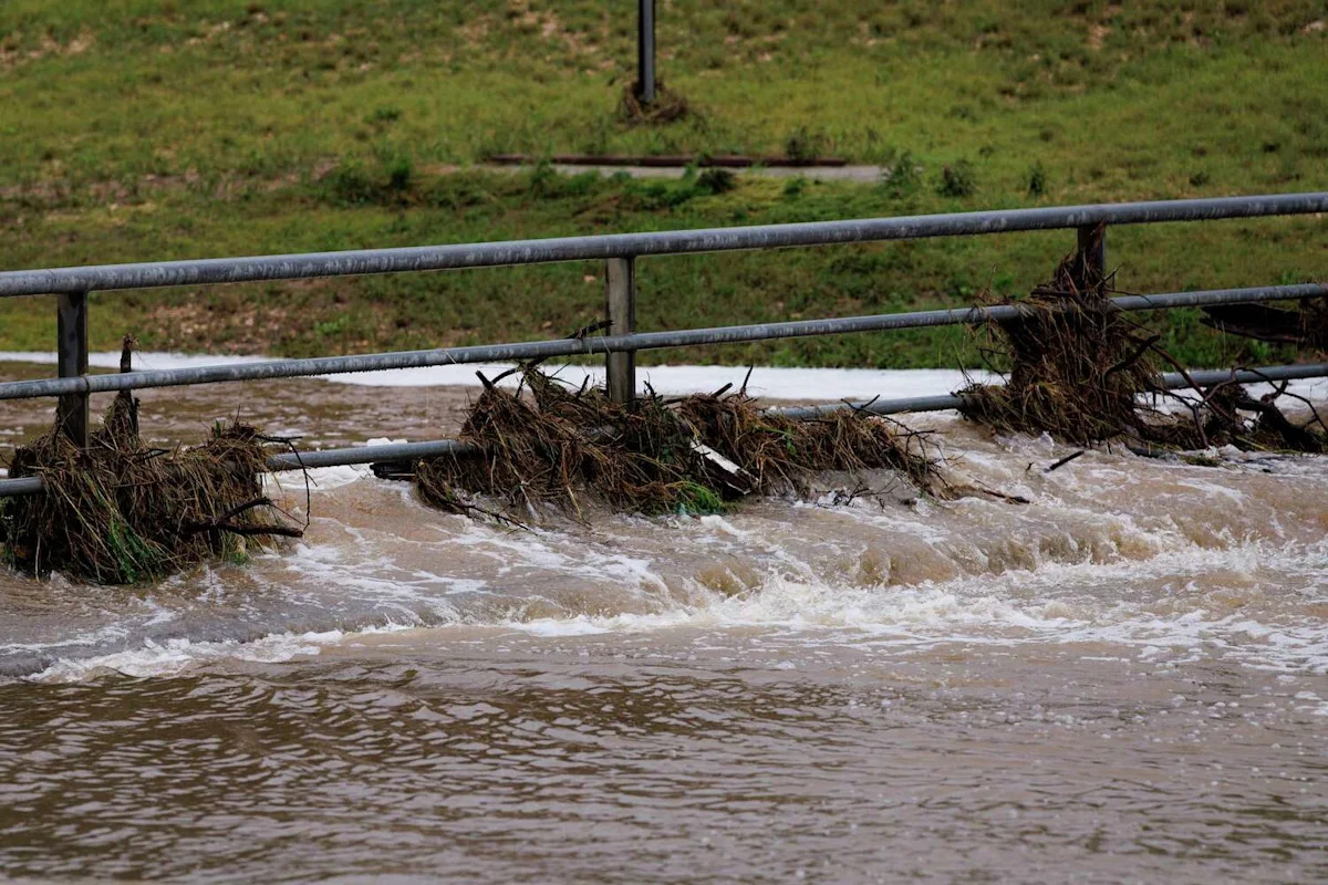
Overnight thunderstorms drenched South Central Texas, leaving more than a dozen roads impassable near San Antonio as heavy rain triggered widespread flooding.
The Uvalde County Office of Emergency Management said Wednesday that some areas received about 16 inches of rain, forcing multiple road closures.
The National Weather Service has placed much of South and Central Texas under a flood watch through Thursday evening, including parts of the Hill Country, the Interstate 35 corridor, the southern Edwards Plateau and the Rio Grande Plains.
A rare Level 4 of 4 high risk for excessive rainfall remains in effect through Wednesday for areas along the U.S. 90 corridor west of San Antonio, including the southern Edwards Plateau and the Rio Grande. Forecasters warned that considerable to locally catastrophic flash flooding is likely across the region.
The National Weather Service said isolated areas could receive an additional 10 to 20 inches of rain.

A Flood Watch remains in effect for parts of the Hill Country, I-35 corridor, southern Edwards Plateau, and Rio Grande Plains through Thursday evening. (NWS Austin/San Antonio )
See flooding in Uvalde as heavy rain triggers flash flood emergency
Below is a look at videos shared on social media showing flooding across South Texas.
Tornado touches down in San Antonio: See photos, video
A tornado touched down on the north side of San Antonio near Six Flags Fiesta Texas and The Rim Shopping Center. Several apartment complexes were reportedly damaged.
This article originally published at South Texas flooding: See photos and videos from severe storms, San Antonio tornado.