
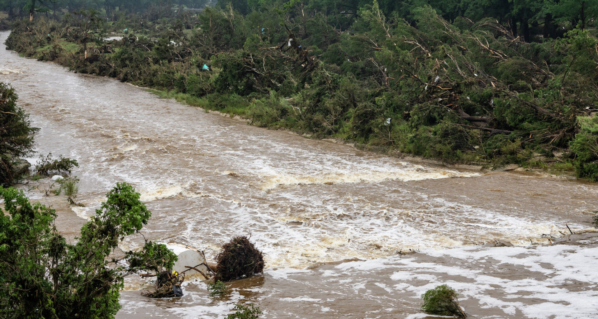
The Guadalupe River stretches across Central Texas and down to south-central Texas. The spring-fed river begins at its north and south forks in Kerr County, then flows east through Kendall and Comal counties before turning south toward the Gulf of Mexico, the Texas Parks and Wildlife Department reports. The length of the river is about 250 miles.
A major river system and the fourth-largest river basin entirely within Texas, the Guadalupe River Basin flows from the Texas Hill Country to San Antonio Bay.
The Guadalupe River and its surrounding areas in the Texas Hill Country have historically been prone to flash flooding, earning the nickname “Flash Flood Alley.”
Flash Flood Alley is a curved region about 300 miles long and 50 miles wide in central and south-central Texas, extending from north of Dallas to southwest of San Antonio. Its location, weather patterns and geology often combine to create devastating floods.