
Houston’s weather has been unusually generous this week, serving up cooler afternoons and repeated rounds of rainfall. Friday is when summer starts collecting its payment.
The same weather pattern that brought several days of soaking rain, localized flooding and Houston’s first afternoon high temperature below 80 degrees since May is shifting east. In its place, a ridge of high atmospheric pressure is building over Southeast Texas. The result is fewer storms, more sunshine and steadily rising temperatures through the weekend.
So how soon will Houston start feeling our typical summer heat again?
July weather returns to Houston
Most of Friday should stay dry, with only isolated afternoon showers or thunderstorms developing as the sea breeze moves inland. Many neighborhoods won’t see any rain, and those that do can expect brief downpours rather than the widespread storms that have dominated the weather this week.
FOR THE DOGS: What are the dog days of summer? 5 things every Texan should know
Sunshine will become much more common, helping afternoon temperatures climb into the lower 90s. Combined with humidity drawn in from the Gulf of Mexico, heat index values, or “feels like” temps, will once again reach 100 to 105 degrees during the hottest part of the afternoon.
The return to sunshine also means roads and saturated ground will finally have a chance to dry up after several days of repeated rainfall.
Houston weekend: Fewer storms, more heat
Saturday and Sunday continue the trend toward a more typical July weather pattern.
Afternoon temperatures should climb into the lower to mid-90s with humidity-driven heat index values topping 100 degrees. Rain chances remain low, with only isolated afternoon storms developing along the sea breeze.
While the flooding threat has largely ended, the focus shifts back to summer heat. Anyone spending extended time outdoors this weekend should plan to take frequent breaks, drink plenty of water and wear lightweight clothing, especially during the afternoon.
No sign of cooler weather
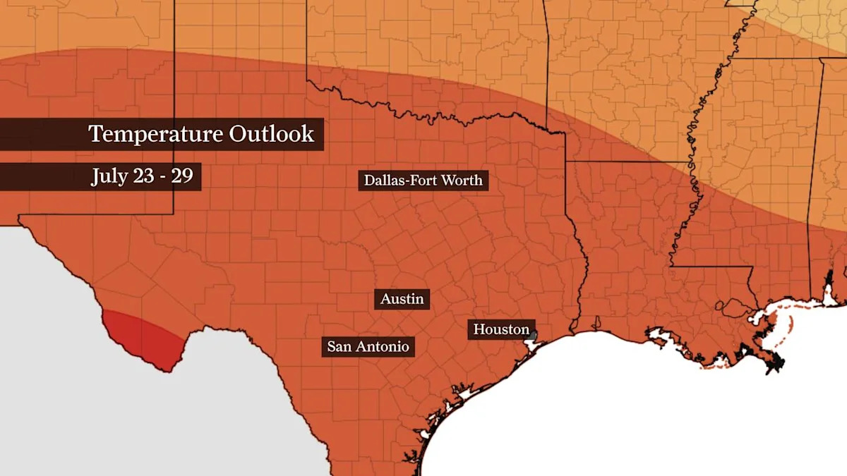
As expected, cooler weather is missing from the Houston forecast through at least the end of July.
Confidence remains high that a more typical summer weather pattern will continue into early next week. Isolated afternoon thunderstorms will remain possible each day, but widespread rainfall appears unlikely as high air pressure keeps most of Southeast Texas warm, humid and predominantly rain-free.
Subscribe
There’s more to Houston with the Chronicle. Subscribe today for just 25¢.
This article originally published at Houston’s shift away from wet weather begins Friday: What can we expect this weekend?.