
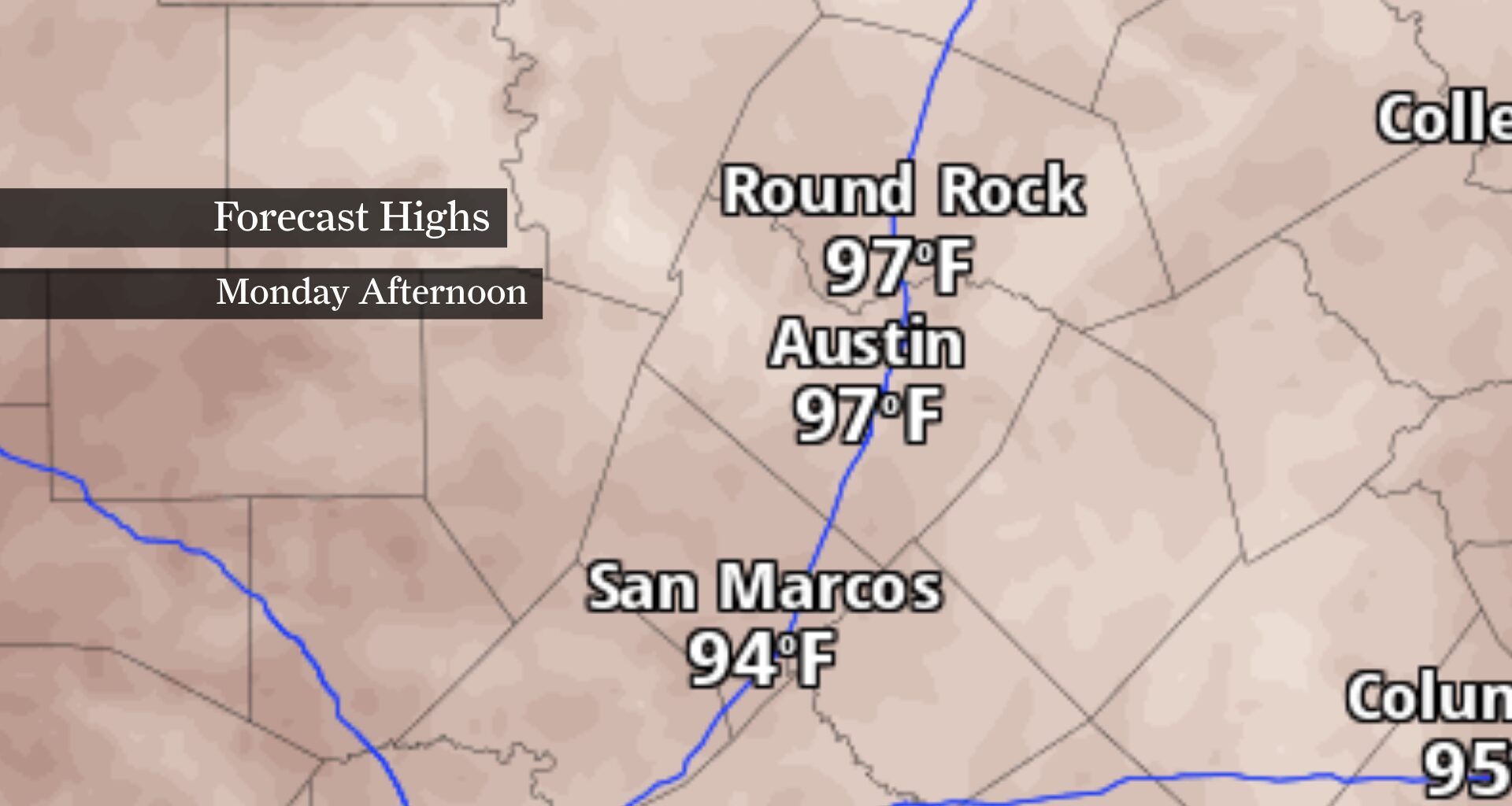
Austin’s brief break from midsummer heat is ending as sunshine returns, storms fade and temperatures steadily climb back toward 100 degrees this week.
The same weather pattern that fueled days of soaking rain and localized flooding across parts of Central Texas is losing its grip. In its place, a strengthening dome of high pressure will bring a quieter stretch of weather, allowing rivers to slowly recede while afternoon temperatures steadily climb through the week.
By the second half of the week, many communities across the Austin area will be flirting with the century mark for the first time since July 8, when Austin recorded its first 100-degree day of the year.
A broad ridge of high pressure will continue building over Texas through Monday, suppressing cloud development and keeping rain chances to a minimum across Central Texas.
Aside from a stray shower well west of Austin near Val Verde County, most of the region should remain dry through at least the middle of the week. Sunday will feature a mix of sunshine and a few fair-weather clouds, with afternoon highs climbing into the lower and middle 90s. Overnight lows will remain muggy, settling into the lower to middle 70s.
While the threat of additional flooding has ended, river flooding will linger along portions of the Nueces, Frio, San Antonio and Rio Grande basins as runoff continues working downstream. Water levels will gradually improve into early next week, but flooded roads and low-water crossings should still be avoided.
The biggest weather story this week won’t be rain — it’ll be the return of midsummer heat.
Temperatures are expected to inch upward almost every afternoon as the ridge strengthens overhead. By Wednesday and especially the latter half of the week, highs across the Austin metro are forecast to reach the upper 90s, with some locations nearing 100 degrees.
Humidity will make it feel even hotter. Heat index values are expected to top 100 degrees during the afternoon Monday, then continue creeping higher as soils dry out and daytime temperatures increase.
Current forecasts keep most of the Austin area below heat advisory criteria through at least Monday, but the forecast becomes less certain by the middle of the week.
The deciding factor will likely be humidity. If moisture remains higher than expected, heat index values could briefly reach advisory thresholds in some locations despite only modest increases in actual air temperature.
For now, the forecast calls for a classic late-July pattern: plenty of sunshine, very few opportunities for rain and a gradual return to the kind of heat Central Texans know all too well.