
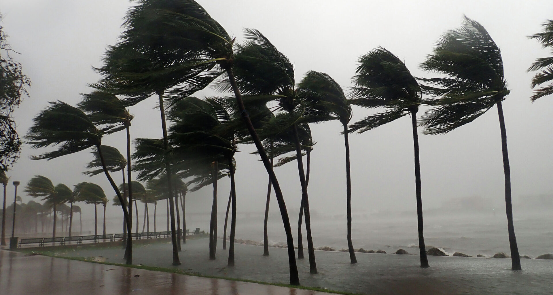
Texas meteorologists have their eyes on Tropical Depression Two, which formed in the Northeastern Gulf of Mexico over the weekend. On Monday, July 20, the National Weather Service (NWS) shared new details about its potential impact on the Lone Star State.
The NWS defines a Tropical Depression as a cyclone with maximum sustained surface winds (one-minute average) of 38 mph or less, while surface winds between 39 and 73 mph meet the criteria for a Tropical Storm. The National Oceanic and Atmospheric Administration expects it to become a Tropical Storm (Tropical Storm Bertha) by tonight, according to its website.
Forecasters expect the system to begin moving west on Wednesday, July 22, which could bring it toward the upper or middle Texas coast by Thursday, July 24. The National Hurricane Center and the Central Pacific Hurricane Center say heavy rain could also affect western Florida and the southern portions of Alabama, Mississippi and Louisiana by Friday, July 25.
As of now, the forecast track and intensity are highly uncertain, according to the NWS. It’s too early to determine exactly how South Central Texas could be affected. In a Monday morning post, CBS Austin meteorologist Avery Tomasco said that based on weather radar, he believes the region will “dodge the bullet” this week.
“Bertha will be battling dry air intrusion, increasing northeasterly wind shear, and some land interaction with Louisiana once it makes its turn to the west,” Tomasco wrote in a post on X.com. “Personally, I think Bertha will favor a farther-south track into the southern half of the state … With all of the above in mind, it is highly unlikely at this point that Bertha brings a flood threat to Central Texas between Thursday and Saturday. You all know how quickly that can change…. Please continue to pay attention… But for now, no big worries.”
The NWS’s seven-day forecast shows a 20% chance of showers in San Antonio on Thursday night and throughout Friday. The chance rises slightly to 30% on Saturday, July 26.