
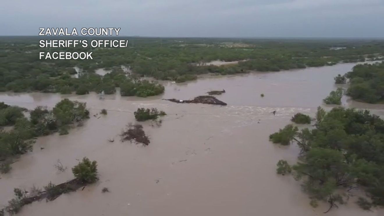
SAN ANTONIO – While the heavy rain has come to an end across much of South Central Texas, the flood threat is far from over as rivers swollen by last week’s historic rainfall continue carrying enormous amounts of water downstream.
Several area rivers are expected to reach their highest levels over the next couple of days, with some forecast to reach major flood stage and threaten homes, businesses and livestock.
The delayed river flooding comes after repeated rounds of torrential rain produced devastating flash flooding across the Hill Country and South Texas, sending runoff into area rivers that are now moving downstream.
Frio River
The Frio River at Tilden is forecast to experience the most significant flooding.
The river is expected to crest around 1 a.m. Wednesday at 27.8 feet, just above the threshold for major flood stage, which begins at 27 feet.
As of Monday morning, the river measured just over 9 feet, but forecasters expect it to rise rapidly throughout the day, reaching around 20 feet before continuing its climb overnight.
Flooding at those levels is expected to impact homes, businesses and livestock near the river.
Nueces River
The Nueces River at Cotulla is also expected to rise into major flood stage.
Forecasters predict the river will crest around 1 p.m. Wednesday at 22.1 feet. Major flood stage begins at 17 feet, meaning water levels are expected to rise well above the threshold for significant flooding.
Officials warn the river could inundate nearby homes, businesses and low-lying areas.
Residents living downstream are urged to have flood preparations in place as the surge of water continues moving through the river system.
San Antonio River
Farther downstream, the San Antonio River at Goliad is forecast to crest around 7 p.m. tonight at 27.3 feet.
That level is expected to produce minor flooding, remaining below the river’s 35-foot major flood stage.
Minor flooding is expected to continue through at least Wednesday as water slowly works its way toward the Gulf Coast.
Lakes remain dramatically higher
The rainfall has also dramatically increased water levels across several South Texas reservoirs.
Canyon Lake is now nearly 100% full, a level not seen since November 2021.
Medina Lake has risen to 27% capacity, increasing nearly 28 feet in just one week after months of historically low water levels.
Lake Amistad continues to rise.
Choke Canyon Reservoir and Lake Corpus Christi have begun to fall, although forecasters expect inflows from upstream rivers to reverse that trend later this week.
Flood danger shifts downstream
Although the threat of widespread flash flooding has diminished across much of South Central Texas, meteorologists say river flooding can linger for days after the rain ends.
Communities downstream along the Frio, Nueces and San Antonio rivers are encouraged to continue monitoring river forecasts and avoid flooded roads or low-water crossings until water levels recede.
With rivers still carrying runoff from last week’s historic flood event, officials warn that dangerous conditions may persist well into the middle of the week, even under mostly sunny skies.