
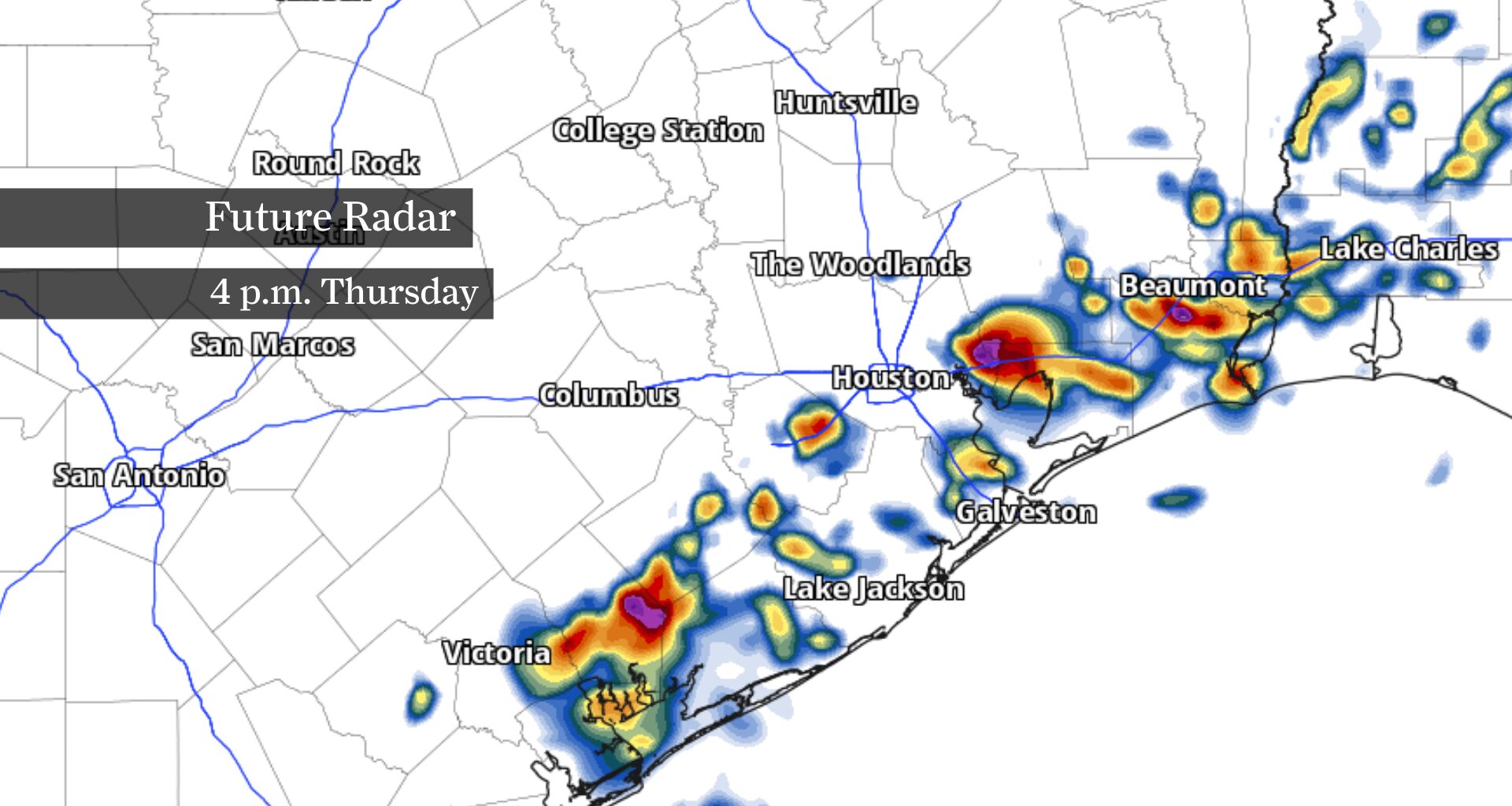
Increasing clouds, a few bands of tropical rain and slightly lower temperatures are expected Thursday as the weakening storm approaches Southeast Texas. Don’t expect a washout: For most of the Houston area, Bertha’s strongest winds, heaviest rainfall and greatest coastal hazards should remain well to the south and east.
Instead, Thursday offers only a brief interruption to Houston’s hottest stretch of the summer. Afternoon temperatures should reach the middle 90s instead of Wednesday’s 100 degrees. However, Gulf humidity will still push heat index values between 105 and 110 degrees. A tropical storm watch remains in effect for parts of the upper Texas coast, where gusty winds, rough surf and dangerous rip currents are expected.
Increasing clouds will spread inland as Bertha approaches Southeast Texas, but most of the Houston metro should stay dry through much of the morning. Temperatures will climb quickly through the 80s, and it will already feel muggy before lunchtime.
Afternoon: Bertha makes its closest approach
Bertha should make its closest approach to the upper Texas coast during the afternoon as a weakening tropical storm. Scattered showers and a few thunderstorms may develop, especially south and east of Houston, though many inland neighborhoods may see little more than a passing shower.
Temperatures will reach the middle 90s for most of the metro area, with lower 90s along the coast, while humidity-driven heat index values climb to between 105 and 110 degrees. Along the immediate coast, wind gusts of 40 to 45 mph remain possible under the tropical storm watch, along with rough surf and a high risk of rip currents.
Evening: Bertha weakens inland
Bertha should continue weakening as it moves inland Thursday evening, likely becoming a tropical depression. A few showers may linger into the night, but widespread heavy rainfall is not expected. By Friday, Bertha’s influence will quickly fade as hot, mostly dry weather returns heading into the weekend.