
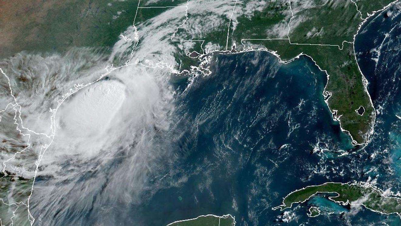
WASHINGTON (7News) — Tropical Storm Bertha made its first landfall at 2 p.m. on Wednesday, July 22, in St. Bernard Parish in southeast Louisiana. A wind gust of 44 mph was recorded at New Orleans Lakefront Airport as the storm’s center passed south of the city.
SEE ALSO | Tropical Storm Bertha weakens as it heads toward Texas
Bertha continues its westward progression to the southeast Texas coast. A second landfall will occur Thursday, July 23, likely south of Houston, Texas. Bertha prompted beach closures on the Gulf Coast from northwest Florida to Mississippi.
As of the 8 a.m. advisory from the National Hurricane Center, Bertha was moving west at 13 miles per hour with maximum sustained winds at 45 miles per hour.
Bertha has had a hard time staying organized due to strong upper-level winds. This has allowed the heaviest rains to remain offshore, limiting impacts from flooding along the coastline. However, wind gusts continue along the beaches, which is causing dangerous surf and rip currents.
As Bertha continues west into Texas, dangerous surf and rip currents along with coastal flooding, are expected from Galveston to Corpus Christi. Tropical Storm Warnings have been issued for far southeast Texas outside of Houston.
Wind gusts around the Houston area may lead to flight delays, and coastal flooding will likely prompt road and beach closures through Thursday evening.