
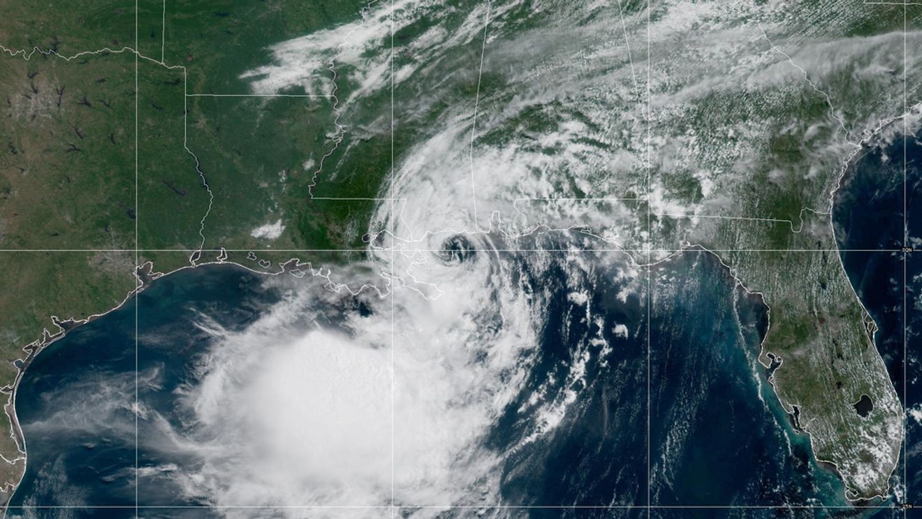
Tropical Storm Bertha is nearing the upper Texas coast after tracking westward along the northern Gulf. The storm remains sheared and disorganized, but it continues to produce tropical-storm-force winds, heavy rain bands, dangerous surf, and coastal flooding near and east of its center.
Current Status
Maximum sustained winds: 45 mphMovement: West at around 10 mphStrength: Tropical StormExpected trend: Rapid weakening after moving inland tonight into Friday.
Greatest Impacts
The primary impacts remain focused on the upper Texas and southwest Louisiana coasts, where tropical storm warnings continue.
The main hazards include:
Heavy rain capable of localized floodingWind gusts capable of downing small limbs and causing isolated power outagesDangerous surf and rip currentsMinor coastal flooding and elevated water levels
Bertha’s strongest thunderstorms remain displaced to the southwest of the circulation because of wind shear. That has limited widespread extreme rainfall, although localized heavier bands are still possible.
What About South-Central Texas?
For most inland areas—including San Antonio—the impacts are expected to remain limited.
A few showers or thunderstorms may develop as tropical moisture spreads inland, along with breezy conditions, but widespread flooding or damaging winds are not expected. The highest rainfall potential remains much closer to the coast.
Looking Ahead
Bertha is forecast to weaken quickly after moving inland tonight, with the circulation expected to dissipate by Friday. Lingering tropical moisture may keep scattered showers near portions of the Texas coast into Friday before improving conditions arrive.
Bottom Line
Bertha is not expected to become a major Texas weather event, but residents along the upper Texas coast should continue to monitor official forecasts through tonight for periods of heavy rain, gusty winds, rough surf, and localized coastal flooding. Farther inland, expect only limited tropical impacts with isolated showers and occasional breezy conditions.