
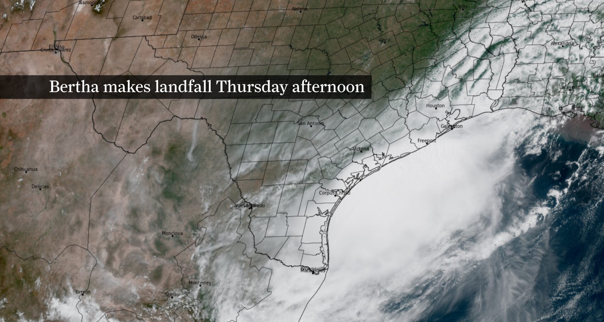
Tropical Storm Bertha is now inland after making another landfall near the Texas-Louisiana border Thursday afternoon. Most Houstonians, however, are expected to see little more than passing showers and occasional gusty winds through Thursday evening.
As of early Thursday afternoon, the storm’s center was just northwest of Beaumont, with maximum sustained winds of 45 mph, according to the National Hurricane Center. Bertha was moving west at 10 mph and was expected to weaken steadily as it tracked across Southeast Texas. Bertha’s remnants were likely to become a post-tropical system of low air pressure by Friday morning, before dissipating later Friday.
For the Houston area, the forecast remains largely unchanged. Bertha’s strongest winds, heaviest rainfall and greatest coastal weather threats are expected to remain east and south of the metro area, leaving most neighborhoods with little more than passing showers and occasional gusty winds.
Those passing showers aren’t expected to add up to much for most of the region. Much of the Houston metro area is expected to receive less than a half-inch of rain. Higher rainfall totals remain possible, especially south of the city where heavier rain bands are more likely. A few locations could briefly pick up more rain under the strongest bands, but widespread flooding is not expected.
Brief wind gusts of 25 to 40 mph will be possible in stronger rain bands, particularly south and east of Houston. The more significant hazards will remain confined to the upper Texas Coast, where tropical storm-force winds, rough surf, dangerous rip currents and minor coastal flooding are expected into the evening before the weather gradually improves overnight.