
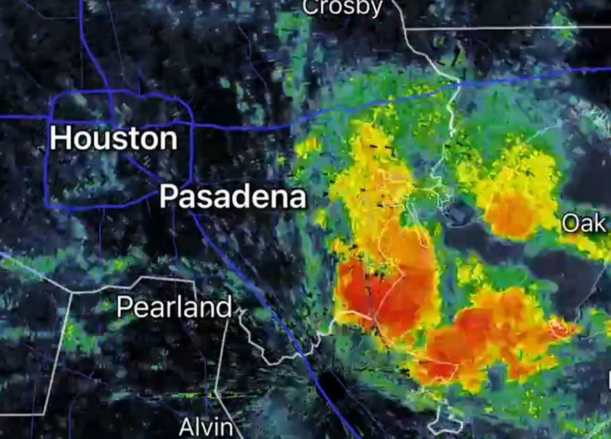
A fast-moving system of severe storms smashed across Southeast Texas on Wednesday evening, arriving from the northeast and spurring emergency alerts from the National Weather Service and Ready Harris, Harris County’s emergency alert and readiness system.
A severe storm warning sent out by NWS just before 7 p.m. CT featured a brow-raising figure: 70 mph wind gusts detected by radar in the vicinity of Harris and Galveston Counties, among others. “Pea-sized” hail was also listed as a threat for the region.
“Expect considerable tree damage,” the NWS alert stated. “Damage is likely to mobile homes, roofs, and outbuildings.”
Impacted locations included Southeastern Pasadena, League City, southern Baytown, Galveston Island West End, Texas City, eastern Friendswood, La Porte, Alvin, Dickinson, La Marque, Santa Fe, Seabrook, Webster, Hitchcock, Beach City, Kemah, southeastern Clear Lake, Nassau Bay, Taylor Lake, Village, and El Lago.
Residents in these areas were asked to move to an interior room on the lowest floor of a building during the system. The warning expired at 7:45 p.m. CT. As of this writing, damage from the system’s passage has yet to arise on social media. At 7:35 p.m. CT, NWS Houston issued an alert that severe storms featuring heavy rain and wind gusts of 40-60 mph continue to move northeast to southwest through Southeast Texas.
Severe thunderstorm warnings remain in place for Jamaica Beach, Hoskins, Freeport, Lake Jackson, Danbury and Liverpool, Texas until 8:15 p.m. CT.
More News
Lists | CNBC’s states ranking sets off Texas lawmakers and GOP leaders
Health | 9 Houston hospitals warned over federal price transparency violation
Economy | Huge $3.2B shipyard picks Texas over California, creating 10,000 jobs
World Cup | Houston World Cup performance draws praise worldwide
For the latest and best from Chron, sign up for our daily newsletter here.
This article originally published at Severe storms featuring 70-mph gusts, possible hail blast Houston area.