
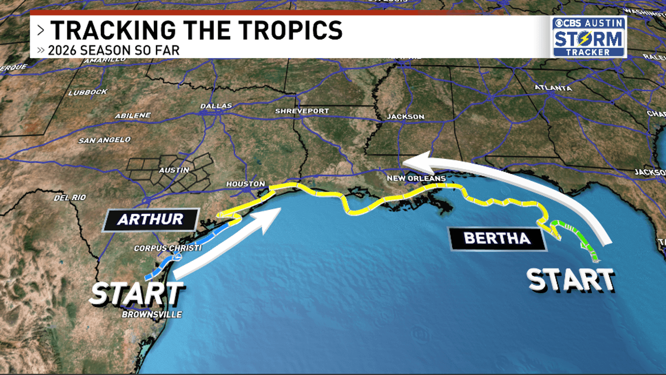
AUSTIN, Texas — As we close out the first two months of the 2026 Hurricane Season, we have seen two storms so far, which isn’t unusual, but these storms have been anything but ordinary. This is an El Niño year, which means the storms that form already have the challenge of battling wind shear in the Atlantic. So the locations where these storms end up forming can be a little crazy. Both of these storms had very strange tracks!
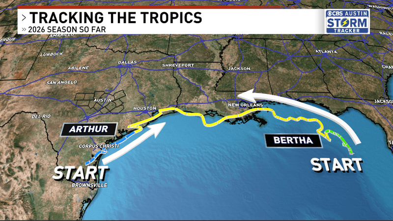
As we close out the 2 months of the 2026 Hurricane Season, we have seen two storms so far, which isn’t unusual, but these storms have been anything but ordinary. This is an El Niño year, which means the storms that form already have the challenge of battling wind shear in the Atlantic. So the locations where these storms end up forming can be a little crazy. Both of these storms had very strange tracks!
Our first storm of the year actually formed from the remnants of Pacific Tropical Storm Cristina, after moving across the mountains of El Salvador and then across Mexico as a disorganized area of low pressure. It then underwent a center relocation, which “technically” put it over the warm waters of the Gulf. It very briefly strengthened to a tropical storm before quickly falling apart and moving into the northern Gulf Coast. Catastrophic flooding occurred in Louisiana, Mississippi, and Alabama as a result of the remnant tropical moisture and extremely heavy rainfall. But it still followed the typical pathway of a tropical storm with that curve to the northeast.
Our second storm, which occurred this week, was even weirder. A stalled area of low pressure developed in the northeastern Gulf, where the National Hurricane Center (NHC) put out a development chance, but it was originally forecasted to move into the Atlantic after crossing Florida. But high pressure began to build around it, meaning it was stuck in the Gulf and wouldn’t have an easy time. After developing into an actually very well-organized tropical depression, Bertha was immediately put through the wringer of wind shear, dry air, and being bullied by high pressure. But it was kept on life support by the warm water of the Gulf.
ALSO| What a “Super El Niño” could mean for this year’s hurricane season
But since it was trapped, it took one of the most unusual tropical storm tracks that we’ve seen in the Gulf. Only 4 other storms have had a similar track to Bertha, making it very rare to see this sort of behavior from a tropical storm, which actually plays into the uncertainty of the forecast in a way. We can use historical patterns to see how other storms behaved in similar setups to make accurate forecasts. But in this case, it’s hard to find another situation where a storm moves from the Florida Panhandle to Louisiana to Texas.
Thankfully, Bertha’s landfalls were pretty uneventful since it was so torn apart by the many factors it had to battle against.
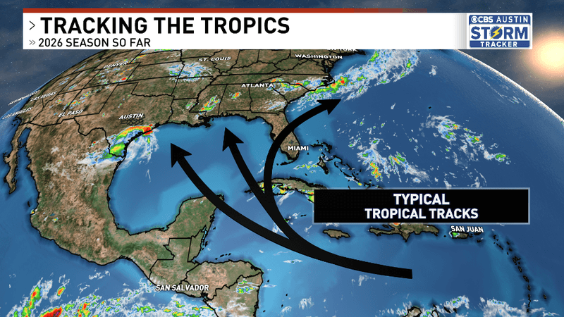
Storms are very limited in where they can form by El Niño’s tendency to quiet down hurricane seasons. The areas that are usually pretty common for tropical development for typical hurricane seasons are made much less hospitable by the wind shear produced by El Niño wind currents, so you’ll have storms form in the Bay of Campeche, in the northern Caribbean, or this year right off the Florida Peninsula and just outside of Corpus Cristi.
As we close out the 2 months of the 2026 Hurricane Season, we have seen two storms so far, which isn’t unusual, but these storms have been anything but ordinary. This is an El Niño year, which means the storms that form already have the challenge of battling wind shear in the Atlantic. So the locations where these storms end up forming can be a little crazy. Both of these storms had very strange tracks!
We’re still not at the peak of hurricane season in late August and September, so we have many more opportunities to have weird tropical tracks and storms. Hopefully we don’t have to remember this season for any destructive storms, because watching Tropical Storm Bertha get shredded by high pressure, dry air, and wind shear while very little impact is felt on land is the best way to deal with hurricane season. I just hope it stays that way.
The outlook for this hurricane season is still expecting a below-average number and intensity of tropical cyclones this season, but forecasts are still calling for multiple hurricanes and potentially 1 or 2 major hurricanes, so even though we’ve had two very weak storms, it’s important that we don’t let our guard down this hurricane season.