
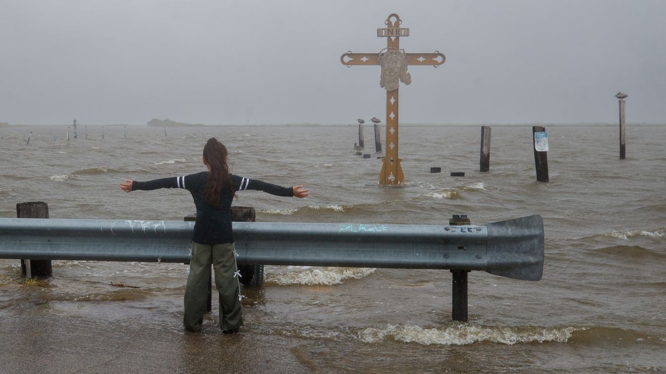
Tropical Storm Bertha has come to an end after moving inland across the upper Texas coast, weakening into a trough — an elongated area of low pressure that no longer has the organized circulation required to be classified as a tropical cyclone.
CLICK HERE to track the tropics…
The National Hurricane Center issued its final advisory on Bertha Thursday night after the system lost its tropical characteristics over southeast Texas.
All tropical storm watches and warnings have been discontinued.
Although Bertha is no longer a tropical storm, its remnants will continue to bring pockets of heavy rain across South Texas. An additional 1 to 3 inches of rain is expected, with isolated totals of up to 4 inches. The heaviest downpours could still trigger localized flash flooding, especially in urban areas and other locations with poor drainage.
Along the Gulf Coast, elevated water levels may persist through the next high tide cycle before gradually subsiding. Swells generated by Bertha will also continue to create dangerous surf and life-threatening rip currents along portions of the Louisiana and Texas coast through tonight.
Bertha developed over the northern Gulf before tracking west along the Gulf Coast, bringing tropical-storm-force winds, periods of heavy rain, minor coastal flooding and dangerous beach conditions from the Florida Panhandle to Texas. While the storm remained relatively weak, its broad wind field spread impacts across hundreds of miles of coastline as it moved toward the upper Texas coast.
Tropical Storm Bertha made landfall twice along the Gulf Coast, once in Louisiana east of New Orleans and once 75 miles northeast of Galveston, near the Texas-Louisiana border.