
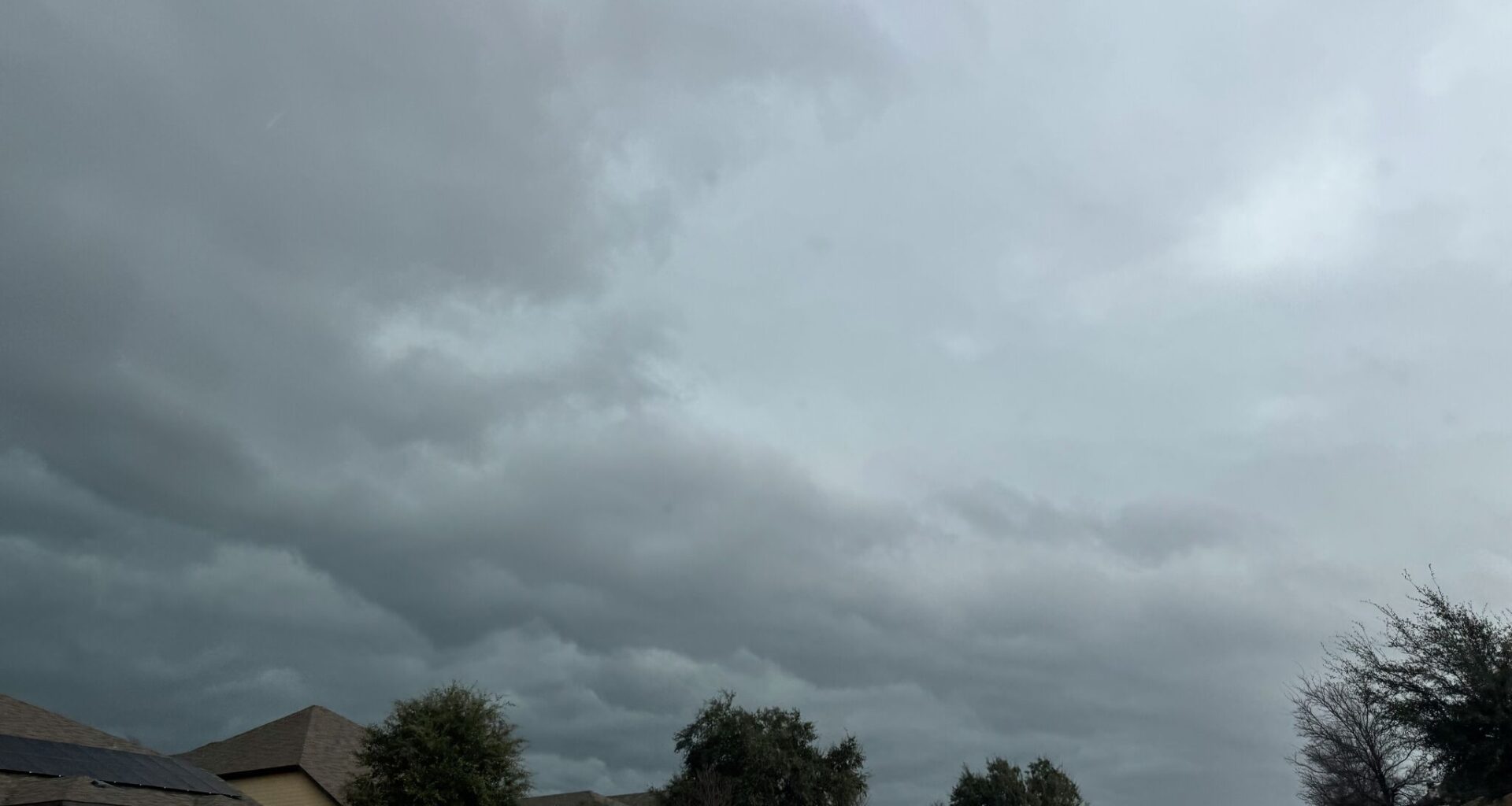
If there’s one thing Texans can count on, it’s to have the weekly weather forecast keeping them on their toes. As summer begins to really settle in across the Lone Star State, and thermometers begin their ascent into the triple digits, another strange mid-summer cold front may blanket most of the state in storm clouds and send temperatures dipping below average for late July or early August.
Heat advisories are beginning to crop up across the northern half of Texas this week, and major cities in the southern half are expected to see afternoon highs break that 100-degree threshold.
It won’t be a chilly weekend by any stretch of the imagination. But highs in the mid- to upper-90s could offer a slight reprieve from hardworking air conditioners after a workweek well above 100.
But with this weaker cold front, storm clouds plague forecasts across Texas cities yet again. A 30% chance of thunderstorms creeps onto the horizon for the Texas Panhandle Thursday night, and forecasters say this could eventually carry down further south.
However, with this cool wind still days away from breaching the Texas-Oklahoma border, the National Weather Service says the impacts heavily depend on how well the cold front holds up as it makes its way south.