
Weather in Texas has been strange this year. Historic flooding in the middle of summer and cold fronts making their way into the Lone Star State at the height of June have left outdoor thermometers yo-yoing and pushed residents to remain weather alert. But as the fall season approaches, with just over a month until the meteorological season changes, peculiar system swings could be the new norm through next year as a “Super El Niño” develops.
The latest predictions from the Climate Prediction Center show a roughly 75% chance of a strong El Niño developing between July and September, and there’s a 15% chance of a very strong El Niño emerging in that same window. Those odds skyrocket to 90% and nearly 50% between August and October, respectively, and continue to balloon through December.
“There is an 81% chance of a very strong El Niño during October-December … that would rank among the largest El Niño events in the historical record going back to 1950,” a memo from the U.S. Climate Prediction Center on Thursday, July 9, states. “In summary, El Niño continues and will strengthen through the end of the year, with a 97% chance it will last through early spring 2027.”
As this pushes the subtropical jet stream further south over Texas, this could have massive implications on the fall and winter seasons. According to data compiled by the Climate Division of the CPC between 1914 and 1994, an El Niño winter brought a lot more rain during winter months.
On average, Texas regions saw anywhere from an inch to more than 3 inches of extra rain between November and December – with central and northern regions getting doused the most in those months and southern counties seeing a smaller uptick. Though, with this slated to become one of the strongest El Niños in nearly 120 years of tracking this phenomenon, the impacts could lean more severe than average.
Those rain impacts tend to trend upward heading into colder months, like November through January, brining heavier rainfall to the southern half of Texas. This also all likely means a much colder winter for Texans as the data shows temperature plummets occurring more frequently between November and April. Those impacts are felt the most in West and South Texas towns as winter progresses into November through February when record lows become possible.
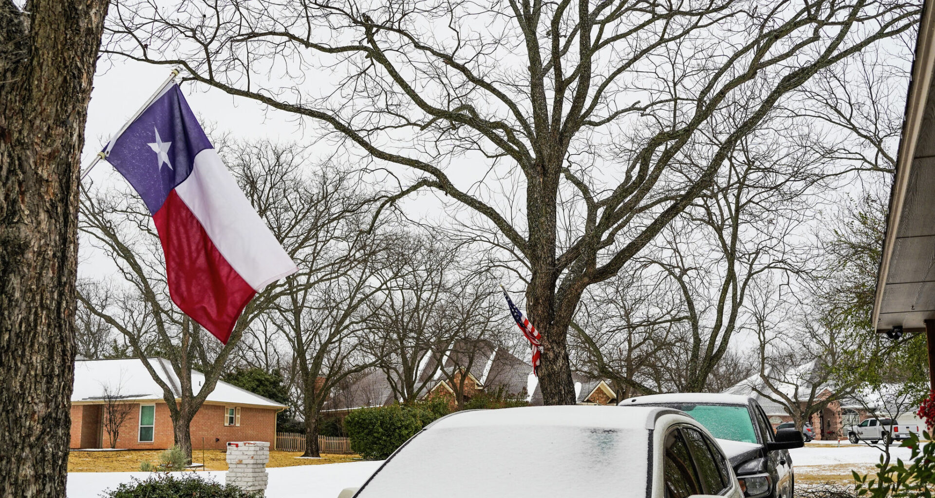
This mixture of higher precipitation and lower temperatures can even lead to record snow events in the Lone Star State. “In general, El Niño conditions lead to wetter, snowier conditions in Amarillo and cooler maximum temperatures during the winter,” an NWS explainer on the oceanic phenomenon states.
AccuWeather Meteorologist Peyton Simmers told MySA that significant snow odds with a strong El Niño really depend on whether cold air can make its way far enough south. With the low pressure system created by an El Niño, moisture will be drawn into Texas. And while it often means rainy days, a strong enough arctic blast capable of breaking the line over Texas could produce snowy days.
Overall, El Niño is a meteorological term for when Pacific waters are warmer than average. This causes the Pacific Jet Stream, carrying moisture, strengthens while the polar jet stream shifts north. This means strong cold outbreaks are reduced in the Central U.S., but that stream curves back down. And it can be dragged back down toward Texas on certain occasions, creating snowy conditions.
“It seems clear from the data that an increase in snowfall across West Central Texas seems to be one of the numerous El Niño,” Patrick A. McCullough wrote for the National Weather Service office in San Angelo, noting average winters tend to bring about 3.8 inches of snow to Abilene. “The seasonal snowfall average during an El Niño nearly doubled to 7.4 inches.”
So, while summer may already have felt like a bit of a tailspin, these unusual weather events in Texas may be on the horizon for months to come as an El Niño of historic proportions continues to develop.