
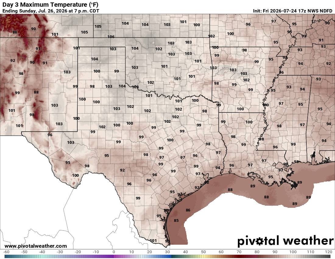
Are you ready for the hottest week of 2026 so far? A strong ridge of high air pressure will take control of our weather pattern this week, bringing a stretch of triple-digit heat to close out the month of July.
So far this month, we’ve recorded three days at or above 100 degrees, and that number is expected to climb with at least five more days of triple-digit temperatures possible by Friday.
Overall, this has been a mild summer so far, especially compared to the past few years.
Some clouds will stick around during the morning hours but quickly give way to plenty of sunshine in the afternoon. Temperatures will be around 78 degrees during daybreak and then climb to 99 degrees in the afternoon but feel like 100-plus degrees when you factor in the humidity.
Winds will be light out of the south and southeast between 5 and 10 mph.
The upper-level ridge of high atmospheric pressure over the Four Corners region in the desert Southwest will expand and remain in place throughout the work week, keeping hot and dry weather in the forecast into next weekend.
Meanwhile, persistent southerly winds in the lower levels of the atmosphere will continue to bring increasing humidity to Central Texas, helping temperatures climb into a stretch of triple-digit heat by midweek with heat index readings between 104 and 107 degrees, nearing heat alert criteria.
This prolonged combination of heat and humidity will increase the risk of heat-related illnesses, especially for those more sensitive to the heat and anyone without access to adequate cooling or proper hydration. The National Weather Service’s Heat Risk calculator puts Austin and Central Texas at moderate to major risk, or level 2 and 3 out of 4 risks, throughout the week.
Getting ready for the week, keep in mind these key heat safety tips:
While the final week of July is expected to remain dry and rain-free, signs suggest that August could bring a change in the weather pattern with some potential rainfall returning about a week from now.
The outlook from the weather service’s Climate Prediction Center for the next six to 10 days, which extends through Aug. 2, keeps Texas warmer than normal with below-average rainfall expected.
However, the outlook for the next eight to 14 days, which stretches through Aug. 6, offers some hope for a wetter weather pattern, hinting at the possibility of increased rain chances returning across the Lone Star State.