
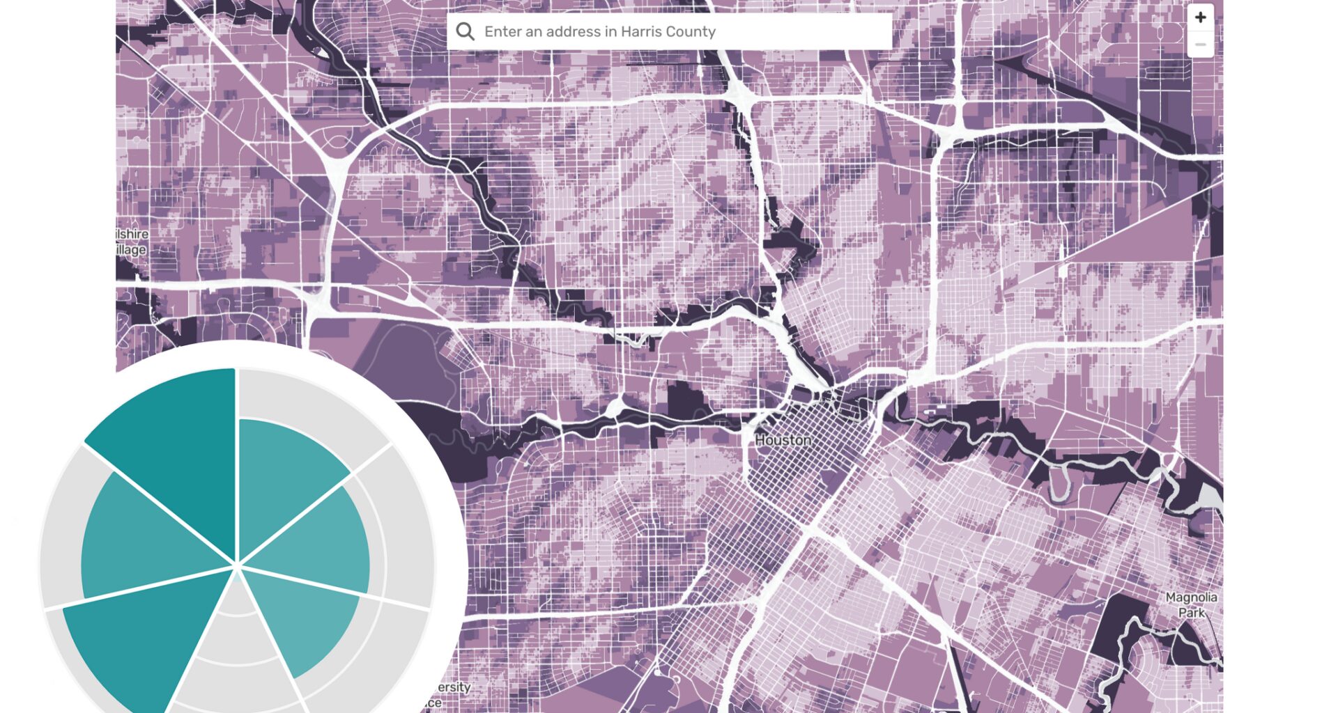
The Houston Chronicle sourced Harris County parcel-level flood damage risk estimation and risk factor data from Texas A&M’s Institute for a Disaster Resilient Texas. The parcels were updated as of 2023, while the risk factors were updated as of 2021.
The Houston Chronicle also sourced current and draft floodplain data from the Federal Emergency Management Agency. Floodplains appear in the data as a series of zones with different risk designations in the event of a flood. Parcel-level designations of floodways in the tool come from current FEMA maps.
The machine learning model that calculates the annual probability of flood damage occurring at a given property was developed by IDRT and presented in a peer-reviewed paper. The Houston Chronicle consulted experts in the field to review IDRT’s methodology and conducted independent data analysis.
Why is my IDRT flood damage risk different from my neighbor’s and/or FEMA maps?
FEMA and IDRT use different methods to assess flood risk. FEMA uses an engineering model that simulates how water is expected to move during a storm and estimates the probability that an area will flood. IDRT, on the other hand, uses a machine learning model developed from historical flood damage claims and property-specific risk factors to estimate the probability that a property will sustain flood damage.
Two neighbors can have different risk levels even when their listed factors look the same. The risk factor values shown in the tool reflect conditions in a property’s surrounding area and are not as detailed as the data used in the machine learning model. The model may also weigh each factor differently from property to property – so a variable that drives one home’s risk may register less for the one beside it, researchers said.
Experts generally agree that no model can predict flooding perfectly. The IDRT model reported an 82% accuracy rate in the 2021 peer-reviewed study on which the tool is based. FEMA’s maps also do not capture every property that may flood. During Hurricane Harvey, for example, about three-quarters of the homes that flooded in the Houston area were outside the 100-year floodplain.
How can I contest my property’s flood risk designation or assessment?
FEMA has a formal process for requesting a change to a property’s official flood zone designation, known as a Letter of Map Change. Property owners may need to hire a licensed surveyor or engineer and provide an elevation certificate or other supporting documentation.
IDRT also allows property owners to request a review of their flood risk assessment. The researchers typically require an elevation certificate to evaluate whether the risk estimate should be changed. To request a review, email tdis@tamu.edu.