
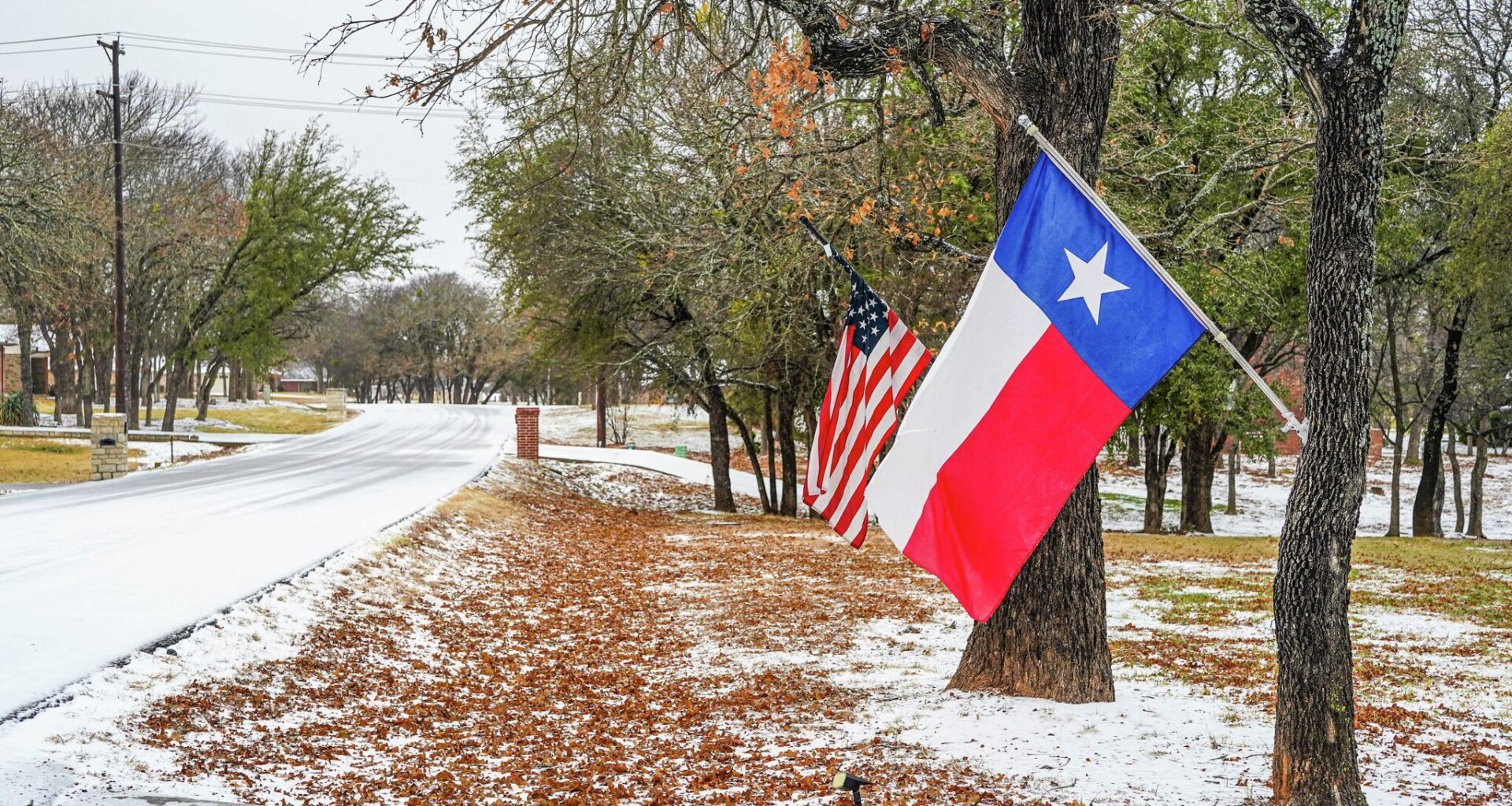
Brace yourselves, Texas. Winter could be shaping up to be a wild ride. For months, forecasters have warned of a “super El Niño” that could hit the Lone Star State with unusual snowstorms. Now, the Old Farmer’s Almanac says the South could be colder and wetter than usual come winter. And it’s warning of impacts on the polar vortex as well.
An El Niño – characterized by unseasonably warm waters in the Pacific Ocean – shifts the subtropical jet stream south toward Texas. This can send winter storms barreling further south toward the Lone Star State, even though they otherwise would’ve been headed for the Midwest or northern states.
“Think of the Pacific Ocean as one of Earth’s most powerful weather engines. When its waters warm in just the right places, the jet stream—the fast-moving river of air that steers storms—often shifts its path,” the Old Farmer’s Almanac reported in its winter outlook. “That change can influence where rain, snow, and colder air are most likely to travel across North America.”
The Old Farmer’s Almanac is now backing up some of the warnings issued over the past several months, as signs point to the strongest El Niño on record developing, which means winter could look very different this year.
Unlike La Niña, when Pacific temperatures are below normal, an El Niño typically brings a wetter winter to the South. That often translates into record snowstorms, according to data compiled by the National Weather Service over the last century.
“It seems clear from the data that an increase in snowfall across West Central Texas seems to be one of the numerous results of El Niño,” Patrick A. McCullough wrote for the National Weather Service office in San Angelo, noting average winters tend to bring about 3.8 inches of snow to Abilene. “The seasonal snowfall average during an El Niño nearly doubled to 7.4 inches.”
Near the middle of January, the Old Farmer’s Almanac forecasts periods of rain and snow in the Texas-Oklahoma region, along with bitter cold temperatures. The end of that month could also bring snow and “very cold” weather to those areas. Those conditions continue into early February, when temperatures are expected to be just below average.
“The coldest periods and the greatest chances for snow in the north will be in early late January, early February,” the long range forecast reads.
Forecasters are also keeping a close eye on the polar vortex, a large pool of Arctic air that typically hovers over the North Pole. But with jet streams shifted, an El Niño tends to break up or even split the polar vortex. This, in turn, could cause strong winter storms to spin off much farther south than they would in an average winter.