
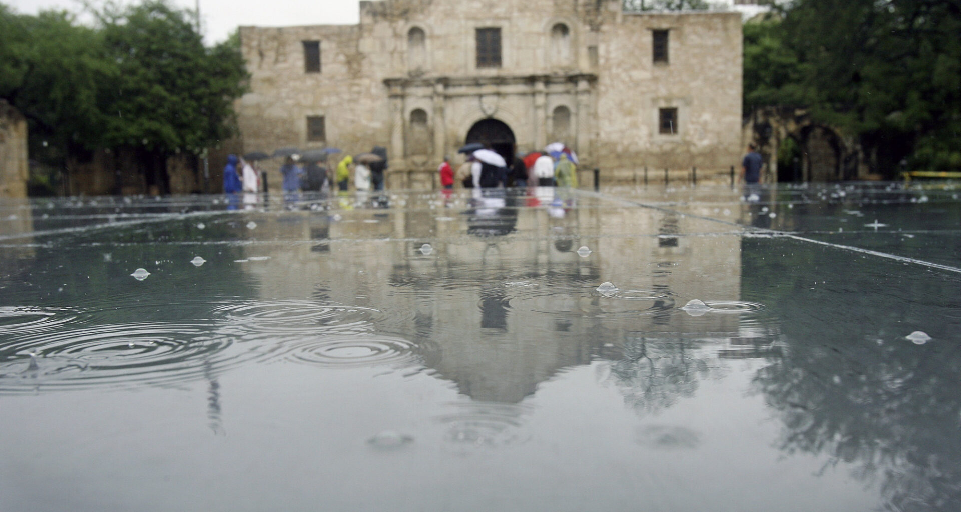
After what was a rainy first half of the year, San Antonio has dried out since mid-July. However, long-range weather models are hinting at when rain chances may return.
TOM REEL/SAN ANTONIO EXPRESS-NEWS
After a very rainy spring and first half of summer, conditions have dried up considerably across South-Central Texas over the past few weeks. Since July 17, only 0.13 inch of rainfall has been recorded in San Antonio, which equates to just 15% of the typical rainfall in the Alamo City during that period.

And with high atmospheric pressure expected to continue across the central and western United States, the hot and dry weather is likely to continue over the next few weeks. However, long-range weather models are suggesting a shift in the weather pattern, which could bring higher rain chances by September. Here’s a look at what to expect Wednesday, as well as the long-term outlook.
Article continues below this ad
Wednesday’s forecast
A mild and muggy morning is expected across South Texas on Wednesday as temperatures will hover in the upper 70s through 8:30 a.m. Mostly cloudy skies are also expected early on before turning mostly sunny after 10 a.m.
Shown are the expected humidity-driven heat index values across the region by 4 p.m. Wednesday.
Pivotal Weather
South Texas temperatures will rise steadily throughout the day, reaching 90 degrees by around noon. Afternoon temps are expected to top out at 98 degrees, but with continued high humidity levels, the heat index is expected to climb to 107 degrees.
Article continues below this ad
Dry weather is expected for most of the region. However, a few isolated showers could develop along the Interstate 10 corridor, from Houston westward to Seguin. However, overall rain chances will stay under 10%.
Continued hot and dry weather
Very similar weather is expected across the region on Thursday, as afternoon temperatures are once again expected to top out near 98 degrees under mostly sunny skies.
By Friday and into the weekend, the high pressure may shift slightly farther away, allowing temps to fall by a couple of degrees. Still, near-average temperatures are likely in San Antonio, with highs generally between 95 and 97 degrees from Friday through Sunday. A few isolated showers may also develop, but overall rain chances will stay at 10% or less.
Article continues below this ad
Temperatures are likely to start rising again by early next week, likely topping out at 98 to 99 degrees by Monday. The return of triple-digit heat is also possible by the middle of the week, especially from Tuesday through Thursday.
When will the rain return?
According to the ECMWF weather model, significantly below-average rainfall is likely to continue throughout August. The long-range model shows that San Antonio is likely to be 1.5 to 1.75 inches of rain below average for the month, meaning that San Antonio’s total August rainfall is likely to be no more than a half-inch.
Article continues below this ad
The numbers shown represent how far above or below average rainfall is expected during the selected timeframe. According to the ECMWF ensemble model, San Antonio is expected to be near 1.5 inches of rain below average during August, left. Then, much of Texas will start seeing slightly above-average rainfall during the middle of September.
Pivotal Weather
However, a shift in the weather pattern is possible by September as the system of high air pressure breaks down. The ECMWF shows that near-average rainfall is likely during the week of Sept. 4-10, with much of Texas potentially experiencing slightly above-average rainfall by the middle of the month.
While rain chances do appear higher during September, it’s important to note that long-range forecasts like this are not perfect. These forecasts tell us what kind of trends are favored several weeks in advance, but they don’t tell us exactly what to expect on a day-to-day basis. For that, be sure to stay with expressnews.com/weather for daily forecast updates.