
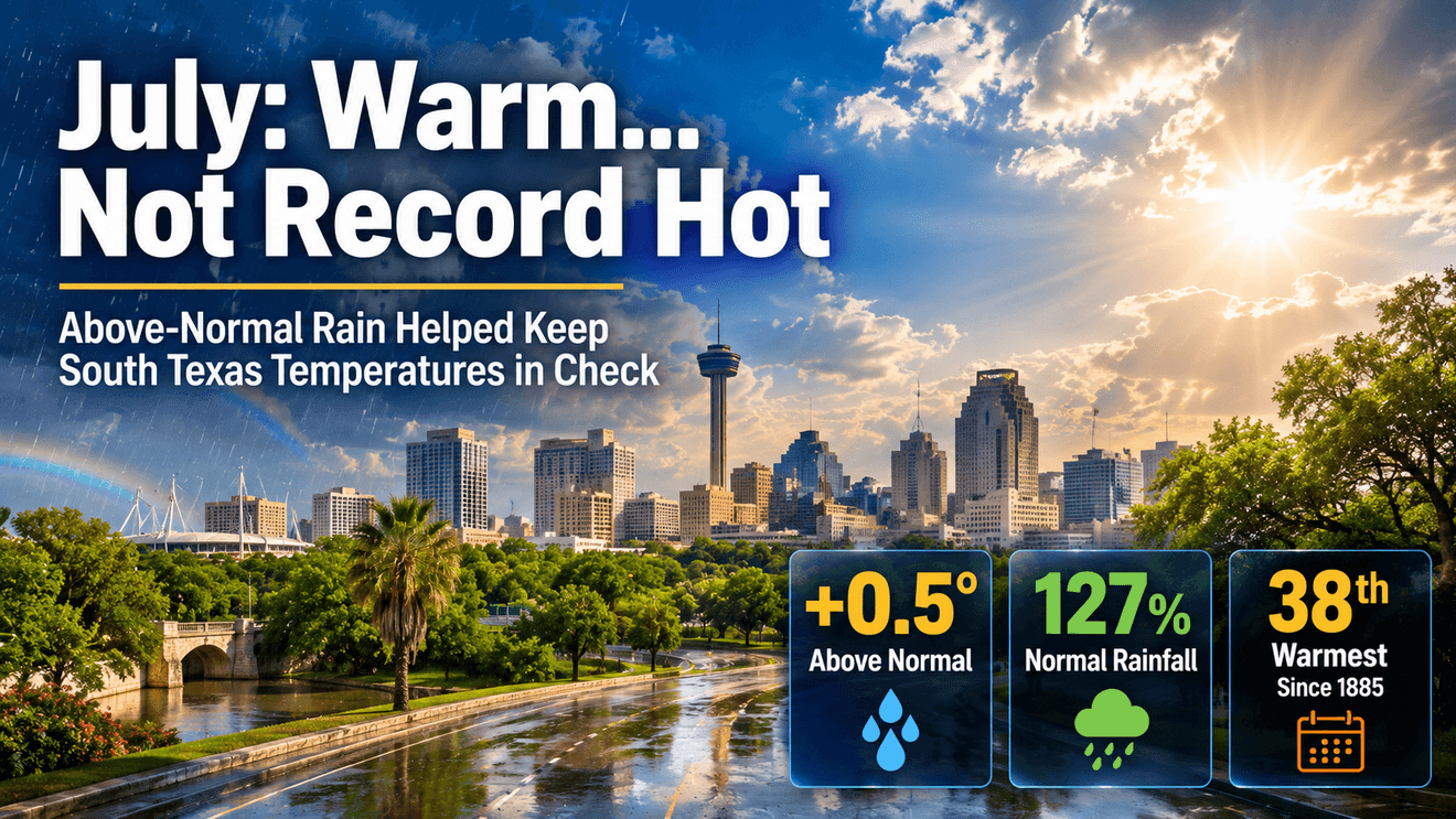
SAN ANTONIO – If July felt hot, the latest climate analysis confirms it was warmer than normal across nearly every major Texas city. South Central Texas was a different story. Instead, it was a month of moderate warmth, beneficial rainfall and only a handful of days experiencing the strongest climate change signal.
San Antonio: Warm, Wet, and Well Below Record Territory
For San Antonio, July 2026 finished with:
Average Temperature: 85.3FDeparture from Normal: +0.5FHistorical July Rank: 38th warmest since records began in 1885Rainfall: 3.1 inches127% of normal July rainfall35th wettest July on record
Those numbers tell an interesting story.
July wasn’t an exceptionally hot month by historical standards. In fact, 37 Julys have been warmer since weather observations began in San Antonio nearly 140 years ago
We saw about 27 percent more rainfall than average. This likely prevented temperatures from climbing even higher during several stretches of the month. Wet soils increase evaporation, which uses some of the Sun’s energy to cool the surface instead of heating the air—a process meteorologists call evapotranspiration.
Climate Change Signal Was Present… But Not Constant
Climate Central issues the Climate Shift Index (CSI), which estimates how strongly human-caused climate change influences daily temperatures.
San Antonio’s climate change signal for July looked like this:
Maximum CSI reached: 53 days reached a CSI of 2 or higherOnly 1 day reached the highest CSI value of 5
That shows the strongest climate signal was confined to only a few days rather than dominating the entire month.
How San Antonio Compared to Other Texas Cities
Some Texas cities experienced a much stronger heat signal.
Several West Texas locations—including Amarillo, El Paso, and Lubbock—recorded nine separate CSI-5 days, among the highest totals in the state. McAllen experienced seven CSI-5 days, while Victoria, Waco and Beaumont each recorded four. San Antonio’s single CSI-5 day was comparatively low key.
That reflects what many Texans experienced. South-Central Texas certainly had hot weather, but the most persistent extreme heat occurred farther west where rainfall was less frequent and soils remained much drier.
Rain May Have Been the Difference
One of the more interesting findings is the relationship between rainfall and temperatures.
San Antonio finished July with above-normal rainfall, while still ending only half a degree above average for the month. Although one month doesn’t prove cause and effect, it’s consistent with the idea that periods of wetter soil can help reduce daytime temperatures by increasing evaporation.
It’s also why two cities with similar air masses can experience different afternoon highs depending on how much recent rainfall they’ve received.
What It Means Heading Into August
As August begins, the atmosphere enters its climatological peak for summer heat.
The calendar is now reaching the time of year when South Texas historically experiences some of its hottest weather—not because the Sun is getting stronger, but because the atmosphere and the ground have spent weeks storing heat.
Whether August becomes significantly hotter than July will likely depend more on what happens next.
If additional rainfall continues, it can help maintain soil moisture and cool afternoon temperatures. But if a persistent high pressure zone develops and rainfall shuts off, the cooling benefits of July’s wetter pattern can fade quickly.
The long range outlook is pointing to few, if any rainfall opportunities as high pressure returns and that means we could be looking at a long stretch of 100 degree days ahead.