
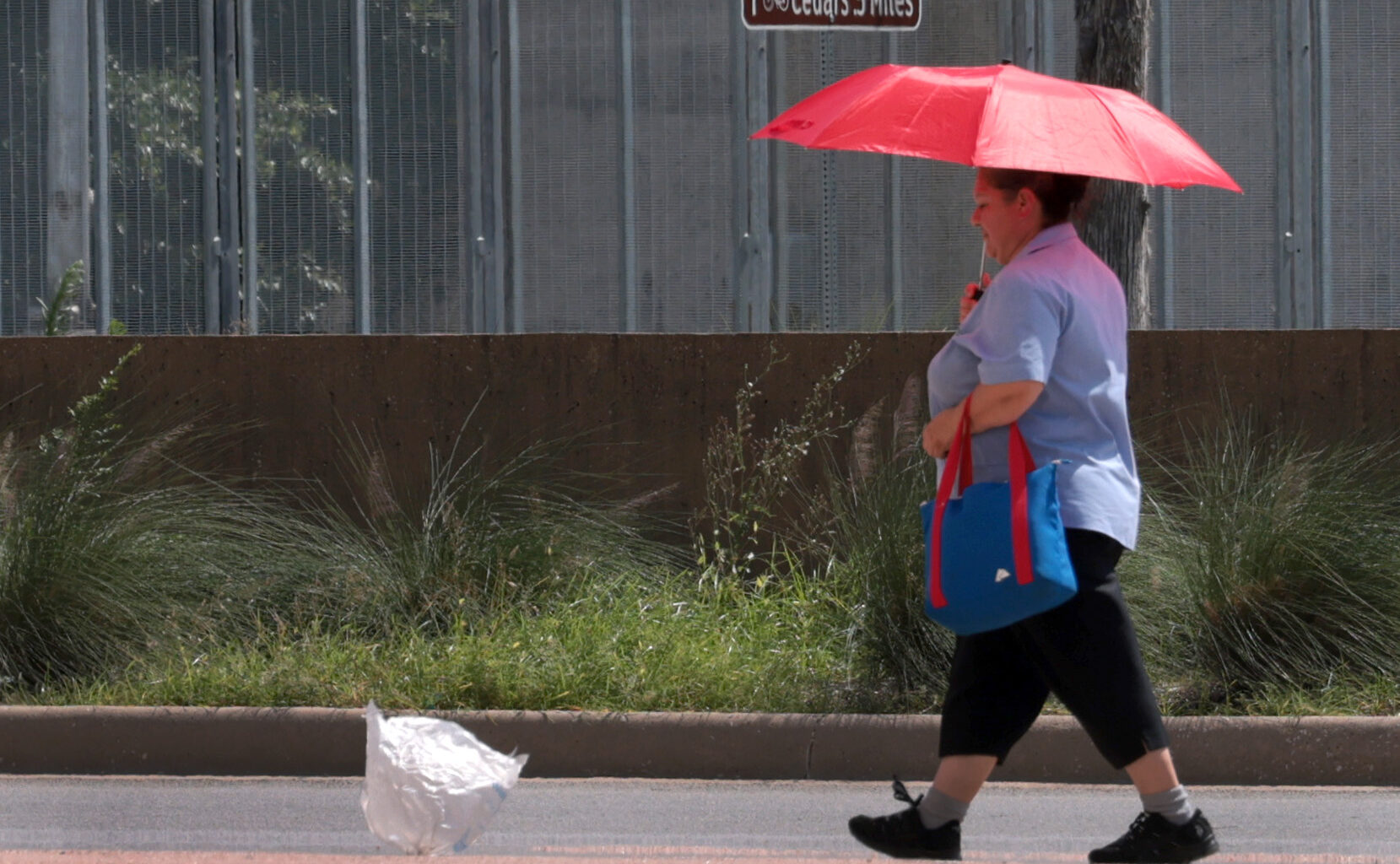
Temperatures in Dallas-Fort Worth Friday are expected to be just over 100 degrees, with a heat index of 103. Temperatures are expected to be their highest around 5 p.m.
As of Thursday afternoon, chances of rain Friday afternoon or evening currently sit at 10-20%, according to the weather service. Any storms that develop Friday will likely start after 4 p.m.
The exact location of where potential rain could fall across North and East Texas is uncertain, the weather service said. Neither severe thunderstorms nor excessive rainfall is expected.
Temperatures for the rest of the week are expected to reach triple-digits, with the heat index expected to rise as humidity worsens.
The weather service said Dallas-Fort Worth will likely see a hot, dry mid-August as the region continues to experience above-average temperatures and below-average rainfall.
“Drought onset is possible the longer we go without substantial rainfall, especially for North Texas,” the weather service’s website said.
If spending time outside in the heat, the weather service encourages taking frequent breaks and staying hydrated. Stay in the shade when possible, and be aware of any changes in behavior that could signal dehydration and heat-related illness.
FRIDAY: Mostly sunny and hot. High: 100. Wind: S 10-15 mph.
SATURDAY: Hot with sunshine and a few passing clouds. Low: 78. High: 98. Wind: S 10-15 mph.
SUNDAY: Mostly sunny and hot. Low: 79. High: 100. Wind: S 10-15 mph.
MONDAY: Hot with plenty of sun. Low: 80. High: 100. Wind: S 10-15 mph.
TUESDAY: Mostly sunny, breezy and hot. Low: 79. High: 100. Wind: S 10-20 mph.
WEDNESDAY: Sunny, breezy and hot. Low: 81. High: 101. Wind: S 10-20 mph.