
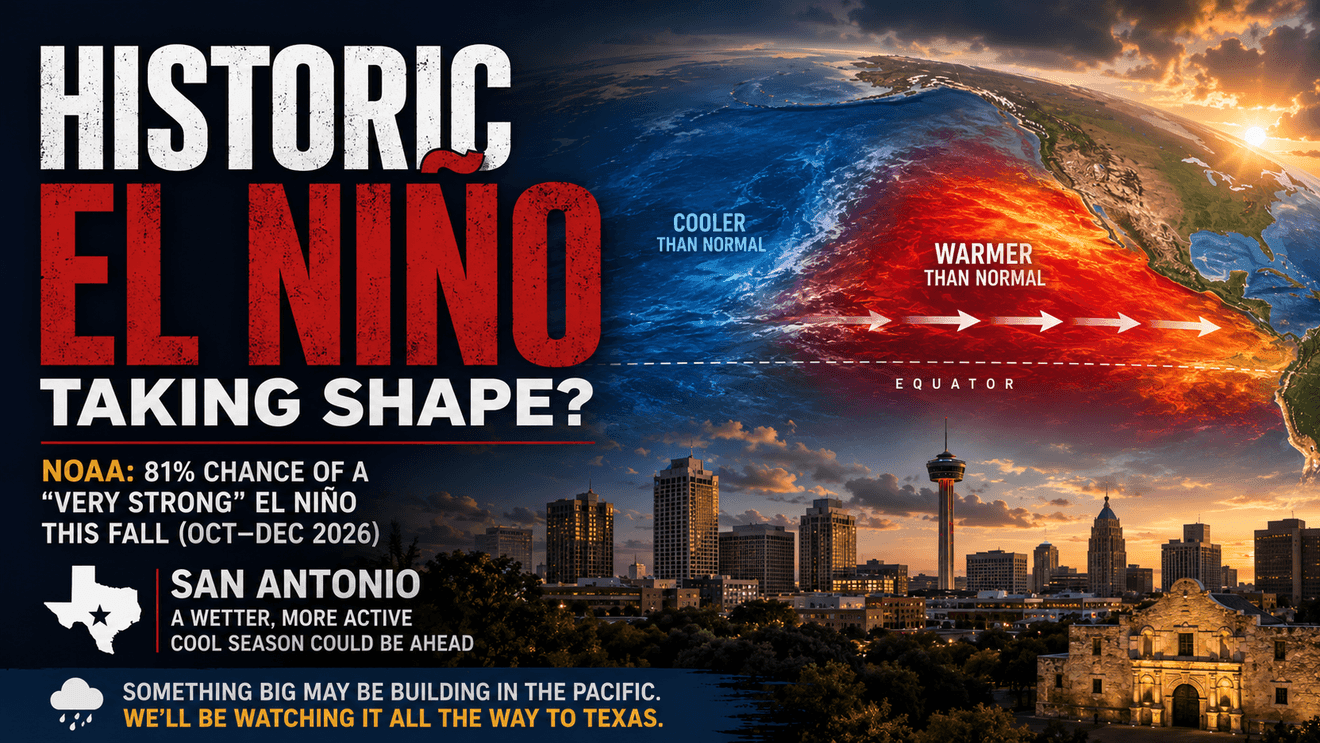
The Pacific is warming quickly, and NOAA says the developing 2026 El Niño could rank among the strongest on record. For San Antonio, the bigger story may come this fall and winter.
There is something significant happening thousands of miles west of San Antonio. The tropical Pacific is warming rapidly. El Niño is already here. But this one may be different.
NOAA says the current El Niño will strengthen through the end of 2026, with a 97% chance it will persist into early spring. Forecasters now give it an 81% chance of becoming a “very strong” El Niño during October through December.
If that happens, it could rank among the largest El Niño events in the historical record going back to 1950. That immediately brings up a familiar comparison. Could this become another 1997–98? It’s too early to say that. But it’s no longer too early to ask.
From La Niña to El Niño — Fast
One of the more remarkable parts of this story is how quickly the Pacific has changed. As recently as February, La Niña was still underway. NOAA measured the weekly Niño-3.4 sea-surface temperature anomaly at about 0.9 degrees Celsius below normal.
By July, the same region sea surface temperatures had soared to 1.2 degrees above normal. That’s a swing of more than two degrees Celsius in roughly five months. And this isn’t simply warm water sitting at the surface. It’s a deep reservoir of unusually warm water beneath the equatorial Pacific.
There is strong evidence that changes that show the atmosphere and ocean are now working together. That’s important. A true El Niño is not just an ocean event. The atmosphere has to respond. And right now, it is.
The 1997 Question
The 1997–98 El Niño remains one of the records against which ENSO events are measured. Along with 1982–83 and 2015–16, it belongs to the small group of exceptionally powerful El Niños of the satellite era.
We’re not there yet but we are on the way.
The official outlook puts El Niño heading into the very-strong category during the fall and early winter. That doesn’t mean the 2026 event will equal or surpass 1997. But the ingredients necessary for an exceptional event are increasingly present.
So What Does Any of This Mean for San Antonio?
Probably not much tomorrow. Potentially quite a bit several months from now. El Niño’s strongest influence on Texas usually develops during the cool season rather than the middle of summer.
During El Niño, the subtropical jet stream becomes stronger and more active across Mexico and the southern United States. For South Texas, that can mean more Pacific moisture, more upper-level disturbances crossing the region, more cloud cover and more opportunities for widespread rainfall. This means more chances for rain over a period of months.
But there are no guarantees. Even the strongest El Nino events do not create the expected impacts everywhere. They simply shift the probabilities.
The 2015–16 super El Niño demonstrated that particularly well. Despite the strength of the Pacific warming, South Texas didn’t experience every textbook El Niño impact.
Don’t Expect El Niño to Turn Off Summer
There’s another important point. El Niño doesn’t arrive in San Antonio like a cold front. The Pacific can be undergoing a major climate shift while we’re still dealing with August heat. So don’t expect some sudden El Niño-induced break in summer. Change comes later. By late fall and winter, the influence could become much easier to identify. That’s when San Antonio’s chances of a wetter and more active weather pattern typically increase.
The Bottom Line
We shouldn’t call this another 1997 yet. But we shouldn’t ignore where the evidence is pointing either. Just a few months ago, the tropical Pacific was still emerging from La Niña.
Now there is an 81% chance of a very strong El Niño this fall, potentially placing the event among the largest observed since modern records began.
For San Antonio, this could mean a wetter cool season, a more active southern storm track and more opportunities for significant rainfall. Whether that actually develops will depend on what happens across the Pacific during the next several months.