
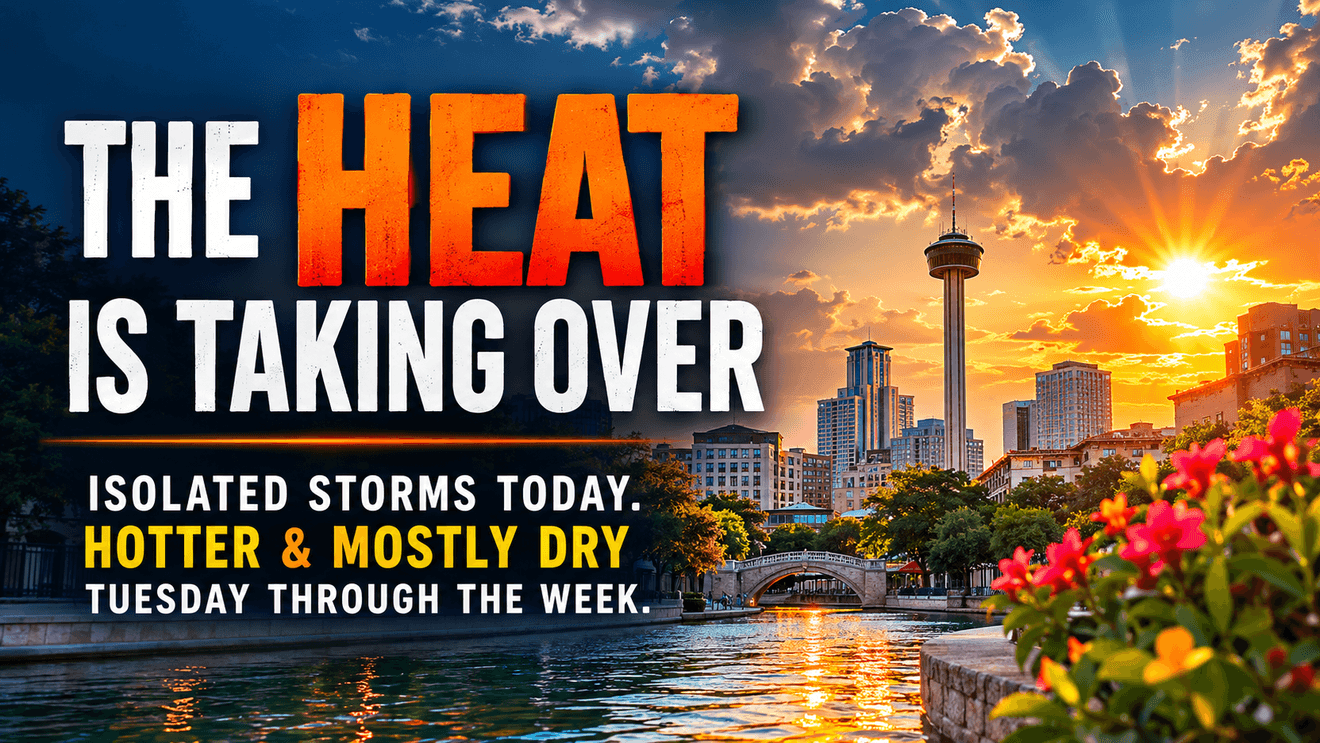
If Monday feels like August, just wait a couple of days.
We begin the week with familiar summertime weather — heat, humidity and just enough moisture for a few isolated afternoon thunderstorms. But the atmosphere is about to turn the heat up another notch.
The stretch of near 100 days I’ve been talking about is here. Humidity makes those numbers more important. Heat indices could approach 108 across the coastal counties and I-35 corridor.
There is at least a small chance Mother Nature provides a few neighborhoods with temporary relief. A sea breeze, leftover outflow boundaries or a combination of the two could trigger isolated showers and thunderstorms this afternoon. Rain chances are only around 15–20%. That means, most of us will not see any rain.
CLICK HERE to share your photos…
Then the pattern changes — but not in the direction most of us would prefer. An high pressure zone high in the atmosphere begins shifting southeast Tuesday, squeezing out afternoon thunderstorms and pushing temperatures higher. Many of us will see 100 or higher Tuesday.
By the middle and end of the week, I’m expecting afternoon temperatures around 100–102 across many areas, with humidity pushing heat index values to advisory levels, particularly east of I-35 and I-37.
So, this afternoon’s isolated storms may get our attention if one happens to develop over your neighborhood. It’s only a one-hit-wonder, for most of us the real story is “the heat wins.”