
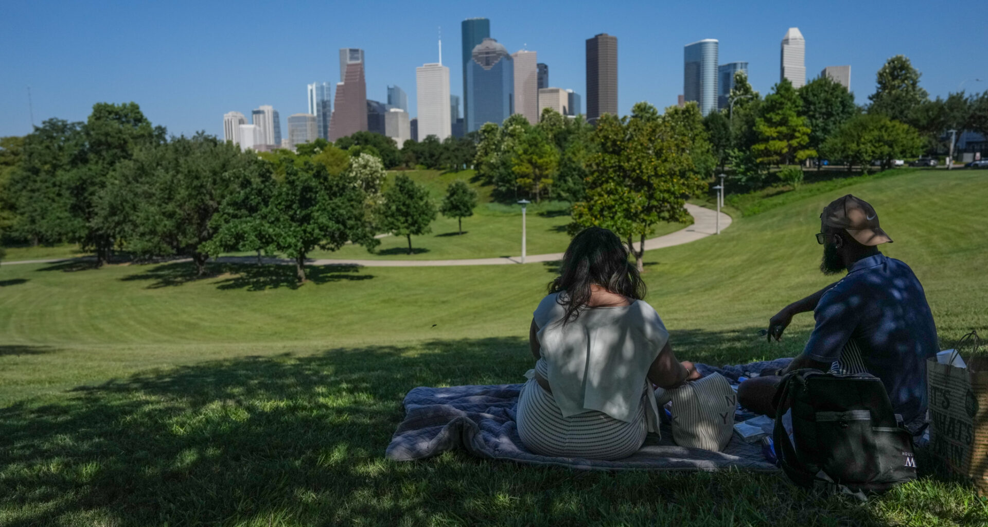
A couple enjoys a picnic while looking at the Houston skyline in July 2026. Houston is currently experiencing its driest weather of the year so far.
Jacob Lujan/Houston Chronicle
After what had been a very rainy spring and first half of summer, the skies have dried up lately across Southeast Texas as high pressure has dominated the weather pattern. Since July 24, Houston has recorded just 0.21 inch of rain, which ranks as the driest three-week stretch Houston has experienced so far this year.
Even through this current dry spell, Houston has still received 33.4 inches of rain in 2026, which is about 10% more rainfall than normal through mid-August.
However, dry weather is likely to continue for several more days, as a stagnant weather pattern continues across almost all of Texas. However, some long-range weather models are starting to suggest a shift in the weather pattern, which could bring rain chances back to the region. Here’s what you can expect.
Article continues below this ad
Sunday’s forecast
Relatively pleasant conditions are expected Sunday morning in Houston, as temperatures will hover in the mid- to upper 70s through 8 a.m. With mostly sunny skies in place, temperatures will rise steadily, reaching the 90-degree mark as early as 11 a.m.
By 3 p.m., afternoon high temperatures are likely to top out at 97 to 98 degrees in the Houston metro area. Areas farther north may see temps rise a couple degrees higher, topping out near 100 degrees near College Station, Conroe, and Huntsville.
Shown are the expected heat index values across the region at 4 p.m. Sunday afternoon.
Pivotal Weather
High humidity will cause temperatures to feel even warmer. With dew points in the low 70s through the late afternoon, heat index values are expected to be near 105 degrees between 2 and 5 p.m. If you have outdoor plans, be sure to stay properly hydrated, wear light and loose-fitting clothing and take frequent breaks in air-conditioned spaces.
Article continues below this ad
Hot weather continues this week
With high pressure sticking around throughout the week, there won’t be many weather changes from day to day. If anything, Houston temperatures will rise slightly higher by the second half of the week.
Monday temperatures will be very similar to Sunday, with highs topping out near 98 degrees under mostly sunny skies. Temps may rise another degree by Tuesday and Wednesday, reaching near 99 degrees. Morning lows will also stay consistent, sitting in the upper 70s to near 80 degrees.
The hottest weather of the week is expected Thursday and Friday, with high temps expected to reach 100 degrees in Houston. The heat index during this time will also be extreme, with maximum values up to 108 degrees.
Article continues below this ad
When will rain chances return?
A few long-range models are starting to show that high-pressure may shift farther west by the weekend, allowing a few scattered showers and storms to form across Southeast Texas. However, high levels of uncertainty still exist, as some forecast models keep high pressure in the area. Houston’s overall rain chances this weekend will only be at around 20% to 30%.
More widespread rain chances are not likely in the region until the first week of September. According to the ECMWF ensemble model, that’s when rainfall is expected to finally rise back to near-average levels across the region.