
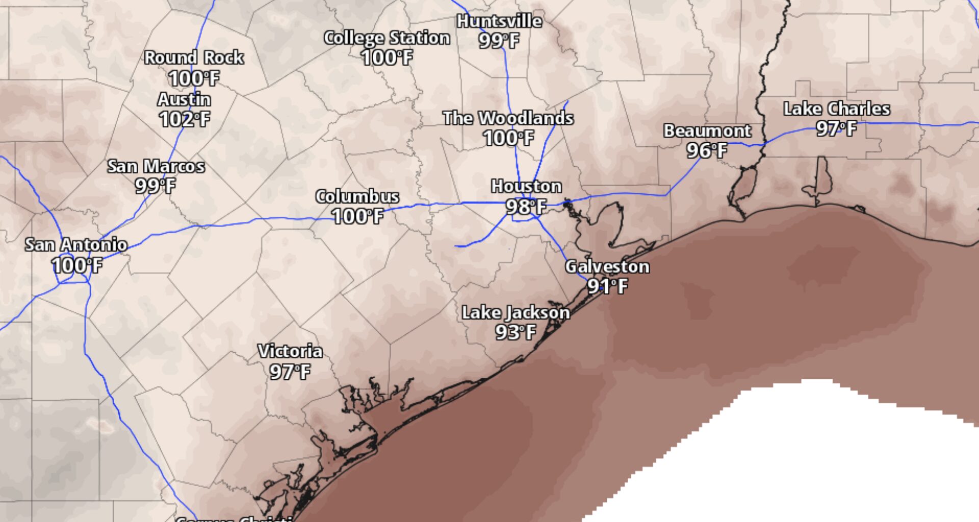
This map of Southeast Texas shows forecast high temperatures Tuesday afternoon.
Pivotal Weather
Houston’s hottest stretch of August so far could send temperatures to 100 degrees or higher on multiple days this week, but the most vulnerable records may come overnight rather than during the afternoon.
High pressure over Texas will keep Houston mostly dry through midweek as temperatures climb. Several days could reach the century mark, with little relief at night and only limited rain chances later this week.
Houston temperatures could reach 100 degrees several times this week
The core of a strong midlevel ridge — known as a “heat dome” — will remain over Southeast Texas through at least midweek, limiting cloud cover and shutting down most opportunities for rain. An additional pocket of relatively dry air arriving Wednesday and Thursday should make showers even harder to come by.
Article continues below this ad
That combination will allow afternoon temperatures to inch higher. Areas along and north of Interstate 10 will have the best chance of reaching 100 degrees early in the week, with some locations potentially topping out around 101. By midweek, more numerous 100-degree highs are expected to reach Southeast Texas.
CLIMATE CONNECTION: El Niño could reach record levels by next month. How close are we to a ‘super El Niño’?
Afternoon humidity will ease somewhat as dew points fall into the upper 60s and lower 70s, which could keep heat index values just shy of heat advisory criteria early this week. Even so, 100-degree heat will still be potentially dangerous for anyone spending hours outside.
Even after sunset, Houston won’t cool off much. After Monday morning started in the low and mid-70s, lows for the rest of the week are expected to hover around 80 degrees, leaving homes, pavement and people with little time to shed the previous day’s heat.
Article continues below this ad
Houston’s record highs are probably safe, but warm nights could challenge records
Triple-digit heat sounds record-worthy, but Houston’s afternoon records this week are in another league. Every daily record high through Aug. 23 exceeds 105 degrees, leaving forecast highs near 100 or 101 several degrees short.
The better chance for a record will come overnight.
Daily records for Houston’s warmest low temperatures are between 81 and 83 degrees through Aug. 23. With forecast lows frequently hovering near 80 degrees, Houston could come close to tying or breaking one of those records if temperatures fail to fall as much as expected before sunrise.
Article continues below this ad
Warm nights also increase the cumulative stress of a prolonged heat spell because the body and the built environment have less time to cool between hot afternoons.
Houston rain chances could return late this week
For most of Houston, the forecast stays stubbornly dry through much of the workweek. A few more opportunities for thunderstorms may emerge late in the week, though widespread rain still looks unlikely.
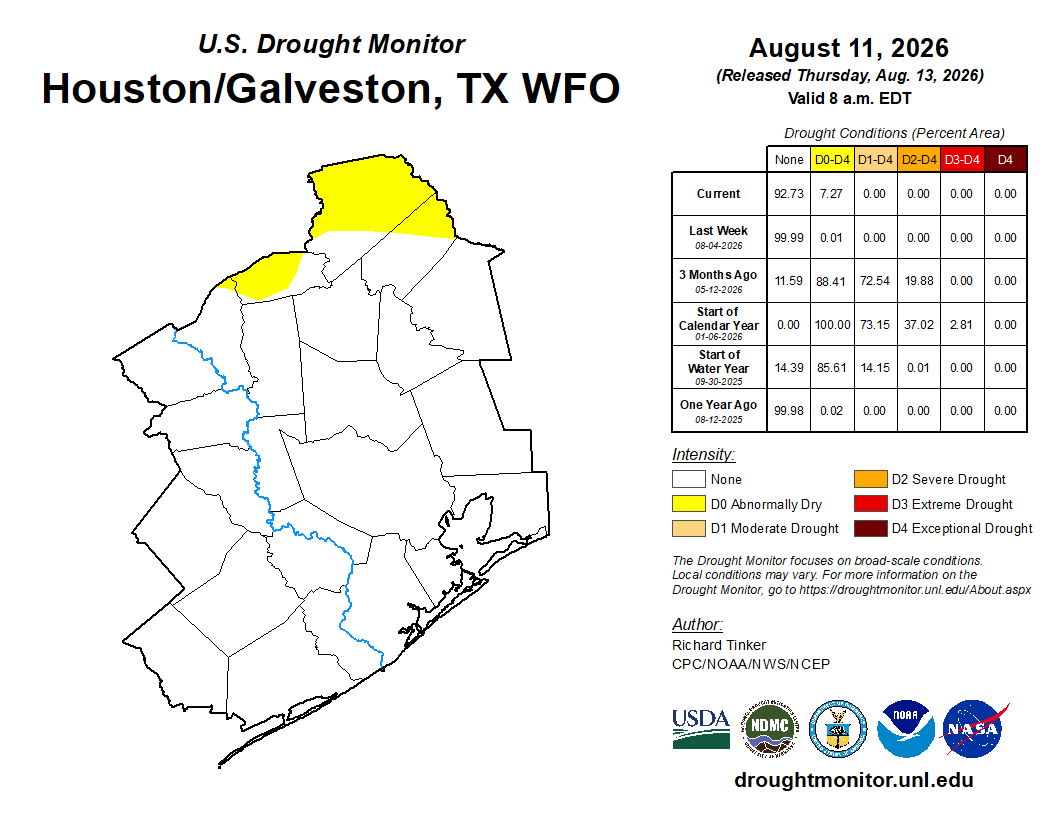
The ridge over Texas is expected to shift west toward the Four Corners, opening the door to northwest flow higher in the atmosphere. At the same time, an upper-level disturbance and frontal boundary should move through the Mississippi Valley.
Article continues below this ad
CHASING FALL: Houston is nearing meteorological fall. Is a cold front anywhere in sight?
The front itself is not expected to reach Houston, but thunderstorms developing along it could push south into Southeast Texas late this week and over the weekend. Rain will be hit-or-miss, meaning some neighborhoods could get soaked while others stay dry.
Longer-range outlooks continue to favor above-normal temperatures and below-normal rainfall through the latter part of August, suggesting any late-week storms are unlikely to mark the end of Houston’s hot, mostly dry pattern.