
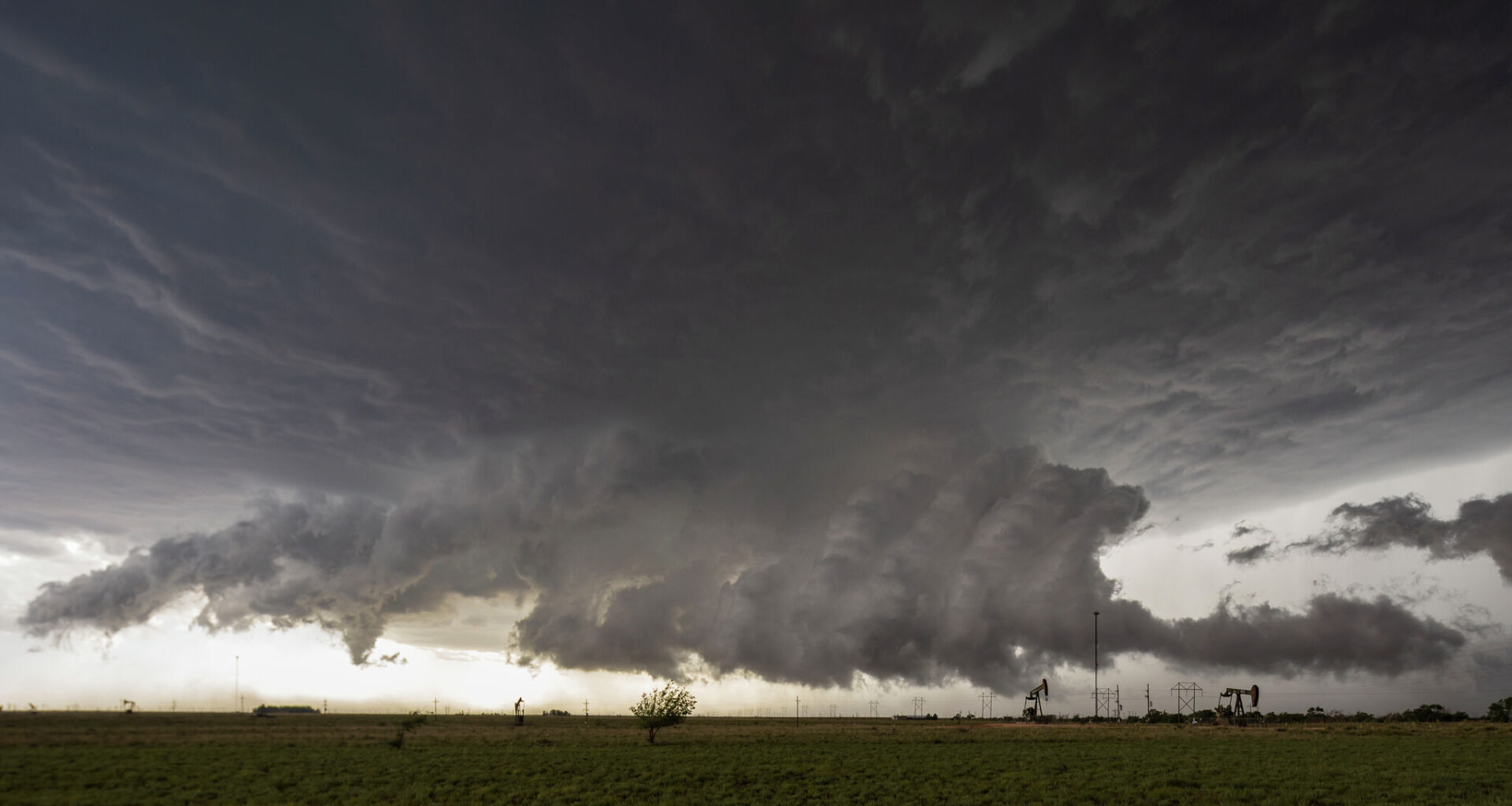
As much of Texas feels the weight of summer, with scorching days soaring well above the triple-digit mark by midday, the season is bringing unusual weather to some towns. In fact, another round of unusual summer cold fronts is set to drop temperatures by up to 6 degrees and plague towns in the Texas Panhandle with storms through the weekend.
The first cold front moved in Thursday evening, August 20, and continued into Friday morning. That dropped temperatures a bit and brought the first wave of storm odds into the region. While the slight cooldown won’t last long, storm odds will loom over the Texas Panhandle through the start of the next workweek.
“Hot temperatures are expected to continue for the Panhandles with widespread triple-digit temperatures holding through the weekend,” the National Weather Service Amarillo office warns. “Chances of storms do remain possible each afternoon, but those chances are mostly confined to the Northern Panhandles at around 10 to 20%.”
As of Thursday morning, August 20, forecasters don’t expect these storms to cause much of a stir. Hail or severe impacts aren’t expected at this time. However, a system moving over the Great Lakes and into Florida could push a second cold front through Texas Panhandle towns, raising the storm odds to 20% to 30%.
This second front is slated to breach the Texas-Oklahoma border by Saturday and continue gloomy skies through Sunday. For some towns at the northern end of Texas, storm clouds linger through at least Wednesday.