
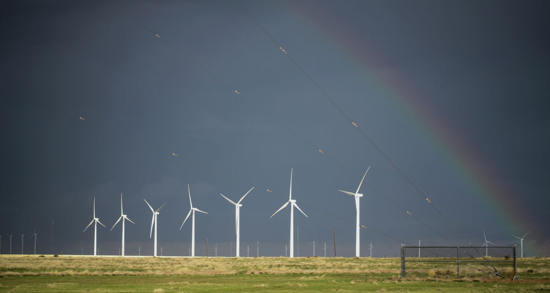
Parts of Texas could see another round of strong storms Saturday, with damaging winds and heavy rain possible as storms take aim at the Panhandle.
The National Weather Service is watching the Texas Panhandle and South Plains for isolated thunderstorms developing Saturday afternoon and evening. Storms could bring wind gusts up to 70 mph, along with localized heavy rainfall.
In the Lubbock area, storms are possible between 3 p.m. and 11 p.m., with areas east of I-27 seeing the best chance for storms. However, forecasters said a stray storm could pop up anywhere across the region.
Hail is also possible with the strongest storms, although the NWS expects any hail to remain around penny size, or under an inch. The overall severe weather threat is considered a level 1 out of 5.
Farther north, the NWS office in Amarillo said storm chances will depend on where the front settles Saturday. A shift north could bring more showers and thunderstorms into the Central Texas Panhandle, while a shift south would mean warmer and drier conditions.
Regardless of where storms develop, damaging wind gusts remain the main concern.
The storms won’t offer much relief from the summer heat. Hot temperatures are expected to stick around through next week, with heat advisory conditions continuing this weekend around Lubbock and areas east of I-27, according to the forecast discussion.