
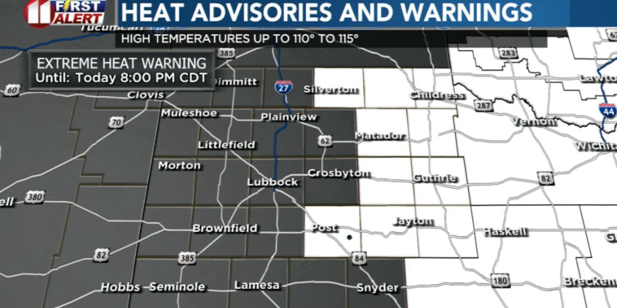
LUBBOCK, Texas (KCBD) – Dangerously hot temperatures are expected to grip the South Plains through midweek, with Monday potentially bringing record-breaking highs and elevated fire conditions.
 KCBD(KCBD)
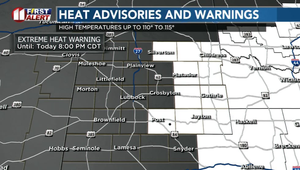
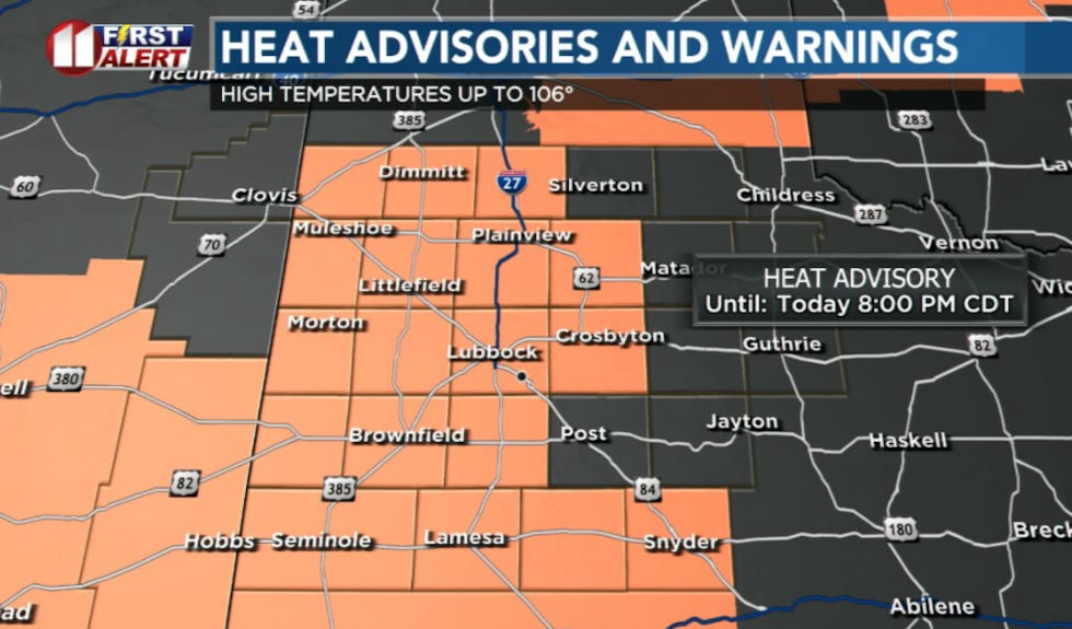
The National Weather Service has issued an Extreme Heat Warning for areas off the Caprock, with temperatures expected to reach up to 115°. A Heat Advisory is in effect for areas on the Caprock, where highs could reach 109°.
 KCBD(KCBD)
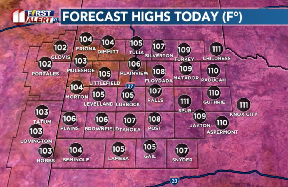
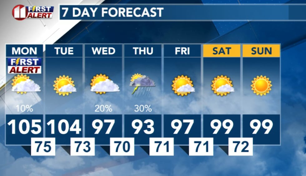
Monday could be the hottest day of the week, with temperatures potentially breaking records at Lubbock and Childress. The current record high at Lubbock is 104 degrees, set in 2024, while Childress’ record stands at 109 degrees from 1936. Forecast highs of 105° in Lubbock and 111° in Childress could surpass those marks.
 KCBD(KCBD)Fire danger and wind concerns
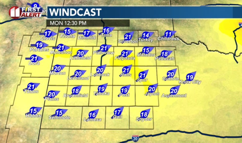
The combination of extreme heat, low humidity and gusty winds will create dangerous fire conditions Monday afternoon. A Rangeland Fire Danger Statement is in effect from noon until 8 p.m. Monday.
 KCBD(KCBD)
Southwesterly winds are expected to increase to around 15 to 25 mph through the morning and early afternoon, with humidity values dropping as low as 12 percent. These conditions will create an elevated fire risk across the region.
Isolated storms possible
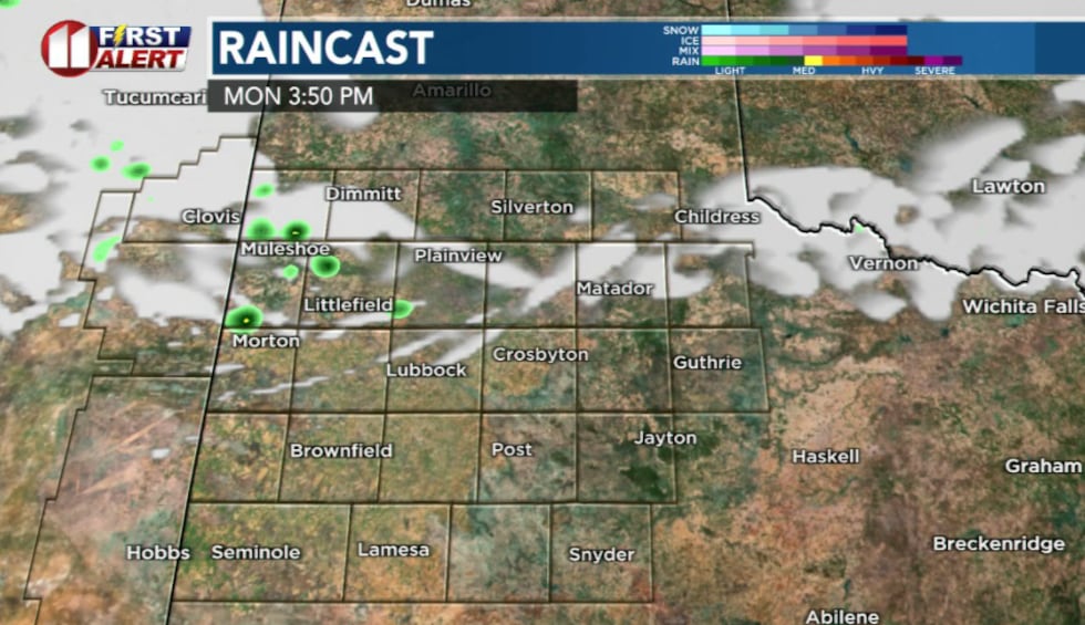
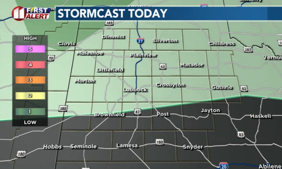
Despite the dry conditions, isolated to scattered thunderstorms are possible late Monday afternoon through the evening, mainly on the Caprock. A surface trough across Colorado and New Mexico could trigger storm development, with some storms potentially moving into the forecast area.
 KCBD(KCBD)
Any storms that develop could produce damaging wind gusts up to 70 mph and frequent lightning, though significant rainfall is not expected.
 KCBD(KCBD)Extended outlook
Very hot temperatures will continue through Tuesday, with another possible record-breaking day forecast. Thunderstorm chances will return each evening from Monday through Thursday as a boundary pushes into the region from the north.
Overnight lows will remain unseasonably warm, ranging from the lower 70s to the lower 80s.
 KCBD(KCBD)
Copyright 2026 KCBD. All rights reserved.